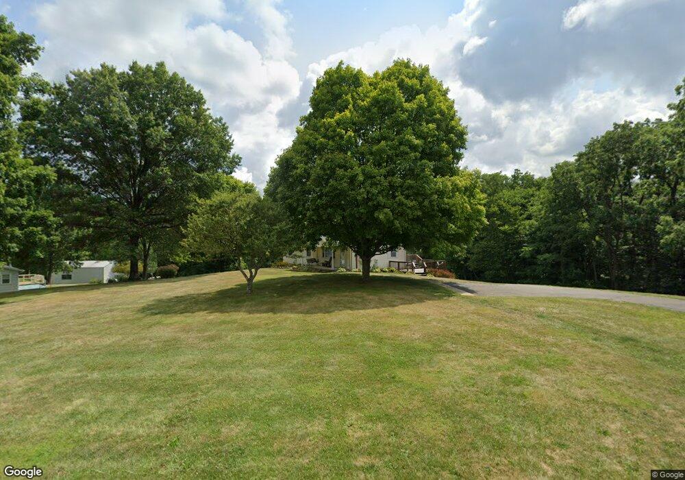
2690 Stringtown Rd NE Lancaster, OH 43130
Estimated Value: $217,000 - $326,000
3
Beds
2
Baths
1,232
Sq Ft
$233/Sq Ft
Est. Value
About This Home
This home is located at 2690 Stringtown Rd NE, Lancaster, OH 43130 and is currently estimated at $287,028, approximately $232 per square foot. 2690 Stringtown Rd NE is a home located in Fairfield County with nearby schools including St Mary Elementary School, Fairfield Christian Academy, and William V Fisher Catholic High School.
Ownership History
Date
Name
Owned For
Owner Type
Purchase Details
Closed on
Mar 22, 2022
Sold by
Mary Claypool
Bought by
Peirano Mary Carolyn and Peirano Edgar T
Current Estimated Value
Purchase Details
Closed on
Mar 4, 2022
Sold by
Mary Claypool
Bought by
Peirano Mary Carolyn and Peirano Edgar T
Purchase Details
Closed on
Jan 20, 2022
Sold by
Ata Exchange Ltd
Bought by
Claypool Mary C
Purchase Details
Closed on
Dec 17, 2021
Sold by
Ata Exchange Ltd
Bought by
Claypool Mary C
Create a Home Valuation Report for This Property
The Home Valuation Report is an in-depth analysis detailing your home's value as well as a comparison with similar homes in the area
Home Values in the Area
Average Home Value in this Area
Purchase History
| Date | Buyer | Sale Price | Title Company |
|---|---|---|---|
| Peirano Mary Carolyn | -- | Sitterley Law Llc | |
| Peirano Mary Carolyn | -- | Sitterley Law Llc | |
| Claypool Mary C | -- | Northwest Title | |
| Ata Exchange Ltd | -- | Northwest Title | |
| Claypool Mary C | -- | Northwest Title |
Source: Public Records
Tax History Compared to Growth
Tax History
| Year | Tax Paid | Tax Assessment Tax Assessment Total Assessment is a certain percentage of the fair market value that is determined by local assessors to be the total taxable value of land and additions on the property. | Land | Improvement |
|---|---|---|---|---|
| 2024 | $6,107 | $62,890 | $19,780 | $43,110 |
| 2023 | $2,167 | $62,890 | $19,780 | $43,110 |
| 2022 | $2,211 | $62,890 | $19,780 | $43,110 |
| 2021 | $2,115 | $50,380 | $16,920 | $33,460 |
| 2020 | $2,033 | $50,380 | $16,920 | $33,460 |
| 2019 | $1,940 | $50,380 | $16,920 | $33,460 |
| 2018 | $1,873 | $45,960 | $16,920 | $29,040 |
| 2017 | $1,874 | $45,960 | $16,920 | $29,040 |
| 2016 | $1,587 | $42,070 | $16,920 | $25,150 |
| 2015 | $1,593 | $40,940 | $16,920 | $24,020 |
| 2014 | $1,520 | $40,940 | $16,920 | $24,020 |
| 2013 | $1,520 | $40,940 | $16,920 | $24,020 |
Source: Public Records
Map
Nearby Homes
- 2865 Stringtown Rd NW
- 0 Coonpath Rd NW Unit Tract 4 224028093
- 0 Coonpath Rd NW Unit Tract 7 224028097
- 626 Rainbow Dr NW
- 465 Ginder Rd NW
- 173 Lakeview Dr NE
- 0 Tschopp Rd NE Unit Lot 17 225027320
- 0 Tschopp Rd NE Unit Lot 33 225027324
- 2149 Pleasantview Dr NE
- 1080 Coonpath Rd NW
- 2195 William T Cir
- 0 Stringtown Rd NW
- 1801 Pleasantview Dr NE
- 1916 Country Place
- 0 Fremar Rd NE Unit Lot1 225007256
- 0 Marquette Dr NE Unit Lot 16 225027323
- 0 Marquette Dr NE Unit Lot 4 225007276
- 0 Old Millersport Rd NE Unit Tract 8 224028101
- 0 Old Millersport Rd NE Unit Lot 10 225033491
- 0 Old Millersport Rd NE Unit 225010386
- 2730 Stringtown Rd NE
- 2620 Stringtown Rd NE
- 2550 Stringtown Rd NE
- 2545 Stringtown Rd NE
- 2850 Stringtown Rd NE
- 2522 Stringtown Rd NE
- 2873 Stringtown Rd NW
- 2890 Stringtown Rd NE
- 2752 Stringtown Rd NE
- 2915 Stringtown Rd NW
- 2415 Stringtown Rd NE
- 55 Coonpath Rd NE
- 55 Coonpath Rd NE
- 2958 Coonpath Rd NE
- 125 Coonpath Rd NE
- 2 Coonpath Rd NE
- 1 Coonpath Rd NE
- 4 Coonpath Rd NE
- 3 Coonpath Rd NE
- 0 Coonpath Rd NW