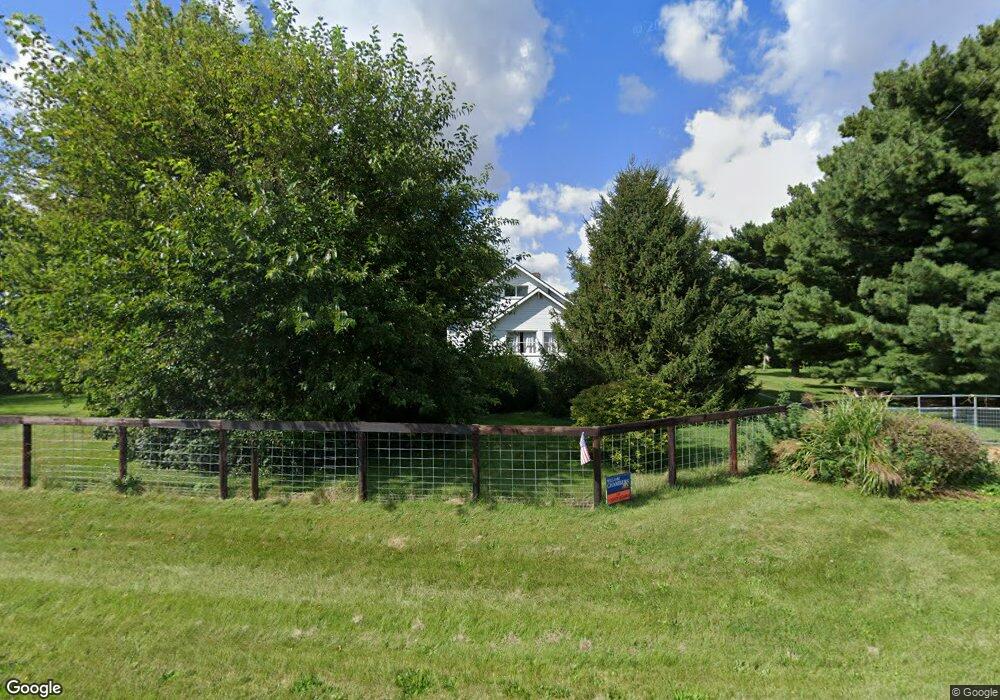
2692 N 1300 East Rd Mansfield, IL 61854
Estimated Value: $199,296 - $283,000
--
Bed
--
Bath
--
Sq Ft
5.52
Acres
About This Home
This home is located at 2692 N 1300 East Rd, Mansfield, IL 61854 and is currently estimated at $229,824. 2692 N 1300 East Rd is a home with nearby schools including Ruth M. Schneider Elementary School and Blue Ridge High School.
Ownership History
Date
Name
Owned For
Owner Type
Purchase Details
Closed on
Feb 1, 2007
Current Estimated Value
Create a Home Valuation Report for This Property
The Home Valuation Report is an in-depth analysis detailing your home's value as well as a comparison with similar homes in the area
Home Values in the Area
Average Home Value in this Area
Purchase History
| Date | Buyer | Sale Price | Title Company |
|---|---|---|---|
| -- | $124,000 | -- |
Source: Public Records
Tax History Compared to Growth
Tax History
| Year | Tax Paid | Tax Assessment Tax Assessment Total Assessment is a certain percentage of the fair market value that is determined by local assessors to be the total taxable value of land and additions on the property. | Land | Improvement |
|---|---|---|---|---|
| 2024 | $1,982 | $51,486 | $20,035 | $31,451 |
| 2022 | $2,630 | $42,941 | $16,710 | $26,231 |
| 2021 | $2,004 | $40,132 | $15,617 | $24,515 |
| 2020 | $2,768 | $38,588 | $15,016 | $23,572 |
| 2019 | $1,998 | $38,588 | $15,016 | $23,572 |
| 2018 | $2,180 | $37,373 | $14,543 | $22,830 |
| 2017 | $2,151 | $36,640 | $14,258 | $22,382 |
| 2016 | $2,449 | $35,029 | $13,631 | $21,398 |
| 2015 | $2,429 | $35,029 | $13,631 | $21,398 |
| 2014 | $2,429 | $35,029 | $13,631 | $21,398 |
| 2013 | $2,429 | $35,029 | $13,631 | $21,398 |
Source: Public Records
Map
Nearby Homes
- 424 E Newton St
- 206 E Illinois St
- 101 E Illinois St
- 105 E Illinois St
- 104 W Oliver St
- 308 W Oliver St
- 1028 E County Road 3200 N
- 3 Village Rd
- 1376 E 2950 Rd N
- 1106 S Spring Lake Rd
- 808 S Spring Lake Rd
- 1715 Phillippe Dr
- 1001 W Dianne Ln
- 1204 Edgeview Dr
- 605 N Craig Dr
- 1372 Treasure Ln
- 1511 River Bluff Ct
- 702 W Northridge Dr
- 915 S Marietta Dr
- 1808 S Orchard Dr