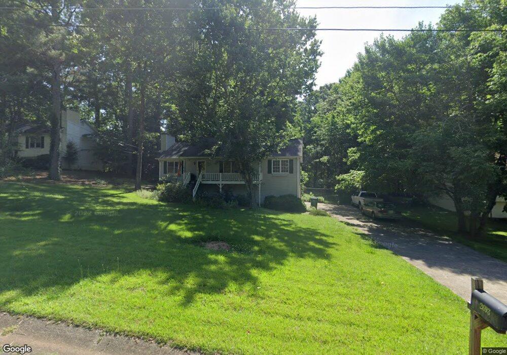
2693 Mountain Brook Rd Canton, GA 30114
Estimated Value: $343,587 - $375,000
3
Beds
3
Baths
1,404
Sq Ft
$256/Sq Ft
Est. Value
About This Home
This home is located at 2693 Mountain Brook Rd, Canton, GA 30114 and is currently estimated at $359,294, approximately $255 per square foot. 2693 Mountain Brook Rd is a home located in Cherokee County with nearby schools including Sixes Elementary School, Freedom Middle School, and Woodstock High School.
Ownership History
Date
Name
Owned For
Owner Type
Purchase Details
Closed on
Jan 6, 2021
Sold by
Gantz Robin S
Bought by
Gantz Matthew J
Current Estimated Value
Purchase Details
Closed on
Jan 8, 2015
Sold by
Gantz Robin S
Bought by
Gantz Robin S and Gantz Matthew J
Purchase Details
Closed on
May 1, 2012
Sold by
Gantz Matthew J
Bought by
Gantz Matthew J and Gantz David K
Home Financials for this Owner
Home Financials are based on the most recent Mortgage that was taken out on this home.
Original Mortgage
$94,750
Interest Rate
3.88%
Mortgage Type
New Conventional
Create a Home Valuation Report for This Property
The Home Valuation Report is an in-depth analysis detailing your home's value as well as a comparison with similar homes in the area
Home Values in the Area
Average Home Value in this Area
Purchase History
| Date | Buyer | Sale Price | Title Company |
|---|---|---|---|
| Gantz Matthew J | -- | -- | |
| Gantz Robin S | -- | -- | |
| Gantz Robin S | -- | -- | |
| Gantz Matthew J | -- | -- |
Source: Public Records
Mortgage History
| Date | Status | Borrower | Loan Amount |
|---|---|---|---|
| Previous Owner | Gantz Matthew J | $94,750 |
Source: Public Records
Tax History
| Year | Tax Paid | Tax Assessment Tax Assessment Total Assessment is a certain percentage of the fair market value that is determined by local assessors to be the total taxable value of land and additions on the property. | Land | Improvement |
|---|---|---|---|---|
| 2025 | $561 | $135,968 | $26,000 | $109,968 |
| 2024 | $543 | $127,328 | $24,000 | $103,328 |
| 2023 | $392 | $123,408 | $24,000 | $99,408 |
| 2022 | $489 | $101,128 | $24,000 | $77,128 |
| 2021 | $479 | $86,048 | $18,240 | $67,808 |
| 2020 | $445 | $76,488 | $16,000 | $60,488 |
| 2019 | $423 | $70,640 | $15,200 | $55,440 |
| 2018 | $392 | $63,560 | $14,000 | $49,560 |
| 2017 | $365 | $141,700 | $12,800 | $43,880 |
| 2016 | $365 | $127,700 | $11,200 | $39,880 |
| 2015 | $357 | $116,200 | $10,800 | $35,680 |
| 2014 | $303 | $83,800 | $6,000 | $27,520 |
Source: Public Records
Map
Nearby Homes
- 2550 Mountain Brook Rd
- 415 Crestmont Ln
- 1600 Mountain Trace
- 206 Sawtooth Ct
- 208 Sawtooth Ct
- 412 Fernstone Dr
- 520 Andes Ln
- 3161 Marble Quarry Rd
- 319 Hillgrove Dr
- 1415 Sixes Rd
- 1302 Sixes Rd
- 151 Wentworth Dr
- 246 Manous Way
- 1600 Sixes Rd
- 216 Manous Way
- 408 Candy Ln
- 605 Garnet Ct Unit 3
- 276 Whitetail Cir
- 376 Whitetail Cir
- 3072 Holly Springs Pkwy
- 2713 Mountain Brook Rd
- 2673 Mountain Brook Rd
- 2733 Mountain Brook Rd
- 2653 Mountain Brook Rd
- 5070 Shadowood Dr
- 5050 Shadowood Dr
- 2680 Mountain Brook Rd
- 5090 Shadowood Dr Unit 2
- 3180 Misty Trace
- 5030 Shadowood Dr
- 2720 Mountain Brook Rd
- 2753 Mountain Brook Rd
- 2623 Mountain Brook Rd
- 5110 Shadowood Dr Unit 2
- 5110 Shadow Wood Dr
- 2603 Mountain Brook Rd
- 2603 Mountain Brook Rd Unit 2
- 5130 Shadowood Dr
- 3160 Misty Trace
- 5010 Shadowood Dr
Your Personal Tour Guide
Ask me questions while you tour the home.