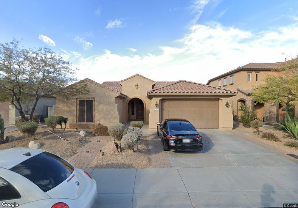
26936 N 90th Ln Peoria, AZ 85383
Estimated Value: $584,914 - $682,000
--
Bed
4
Baths
2,626
Sq Ft
$243/Sq Ft
Est. Value
About This Home
This home is located at 26936 N 90th Ln, Peoria, AZ 85383 and is currently estimated at $638,229, approximately $243 per square foot. 26936 N 90th Ln is a home located in Maricopa County with nearby schools including West Wing Elementary School, Mountain Ridge High School, and BASIS Peoria Primary.
Ownership History
Date
Name
Owned For
Owner Type
Purchase Details
Closed on
Aug 17, 2022
Sold by
Kyong Kim
Bought by
Kim Kyong and Kim Esther Sora
Current Estimated Value
Purchase Details
Closed on
Dec 14, 2006
Sold by
Kim Soo Nam
Bought by
Kim Kyong
Home Financials for this Owner
Home Financials are based on the most recent Mortgage that was taken out on this home.
Original Mortgage
$368,800
Interest Rate
6.32%
Mortgage Type
New Conventional
Purchase Details
Closed on
Jun 15, 2006
Sold by
Pulte Home Corp
Bought by
Kim Soo N and Kim Kyong S
Home Financials for this Owner
Home Financials are based on the most recent Mortgage that was taken out on this home.
Original Mortgage
$355,276
Interest Rate
6.75%
Mortgage Type
New Conventional
Create a Home Valuation Report for This Property
The Home Valuation Report is an in-depth analysis detailing your home's value as well as a comparison with similar homes in the area
Home Values in the Area
Average Home Value in this Area
Purchase History
| Date | Buyer | Sale Price | Title Company |
|---|---|---|---|
| Kim Kyong | -- | None Listed On Document | |
| Kim Kyong | -- | Westland Title Agency Of Az | |
| Kim Soo N | $444,095 | Sun Title Agency Co |
Source: Public Records
Mortgage History
| Date | Status | Borrower | Loan Amount |
|---|---|---|---|
| Previous Owner | Kim Kyong | $368,800 | |
| Previous Owner | Kim Soo N | $355,276 |
Source: Public Records
Tax History Compared to Growth
Tax History
| Year | Tax Paid | Tax Assessment Tax Assessment Total Assessment is a certain percentage of the fair market value that is determined by local assessors to be the total taxable value of land and additions on the property. | Land | Improvement |
|---|---|---|---|---|
| 2025 | $2,526 | $31,325 | -- | -- |
| 2024 | $2,482 | $29,833 | -- | -- |
| 2023 | $2,482 | $43,300 | $8,660 | $34,640 |
| 2022 | $2,388 | $33,320 | $6,660 | $26,660 |
| 2021 | $2,508 | $31,430 | $6,280 | $25,150 |
| 2020 | $2,466 | $29,020 | $5,800 | $23,220 |
| 2019 | $2,394 | $27,780 | $5,550 | $22,230 |
| 2018 | $2,304 | $27,280 | $5,450 | $21,830 |
| 2017 | $2,224 | $25,780 | $5,150 | $20,630 |
| 2016 | $2,095 | $24,960 | $4,990 | $19,970 |
| 2015 | $1,930 | $24,560 | $4,910 | $19,650 |
Source: Public Records
Map
Nearby Homes
- 9058 W Redbird Rd
- 9156 W Bajada Rd
- 9161 W Bajada Rd
- 26924 N 89th Dr
- 26853 N 89th Dr
- 27344 N 91st Ln
- 9324 W Molly Ln
- 9238 W Buckhorn Trail
- 8687 W Bajada Rd
- 27490 N Higuera Dr
- 26802 N 90th Ave Unit 14
- 27486 N 89th Dr
- 9165 W Mine Trail
- 9185 W Mine Trail
- 9303 W Briles Rd
- 9303 W Briles Rd Unit 4
- 9275 W Plum Rd
- 8657 W Rowel Rd
- 9012 W Yellow Bird Ln
- 8666 W Lariat Ln
- 26916 N 90th Ln
- 26956 N 90th Ln
- 6537 W Molly Ln
- 26976 N 90th Ln
- 26896 N 90th Ln
- 9056 W Molly Ln
- 9057 W Redbird Rd
- 26996 N 90th Ln
- 9044 W Molly Ln
- 9049 W Redbird Rd
- 9051 W Molly Ln
- 9032 W Molly Ln
- 9135 W Bajada Rd
- 9039 W Molly Ln
- 27036 N 90th Ln
- 9132 W Bajada Rd
- 9050 W Redbird Rd
- 9020 W Molly Ln
- 9033 W Redbird Rd
- 9027 W Molly Ln