2695 Us Hwy 1 Sullivan, ME 04664
Estimated Value: $1,739,344
--
Bed
--
Bath
1,920
Sq Ft
$906/Sq Ft
Est. Value
About This Home
This home is located at 2695 Us Hwy 1, Sullivan, ME 04664 and is currently estimated at $1,739,344, approximately $905 per square foot. 2695 Us Hwy 1 is a home located in Hancock County with nearby schools including Mountain View School and Sumner Memorial High School.
Ownership History
Date
Name
Owned For
Owner Type
Purchase Details
Closed on
Jan 11, 2024
Sold by
Legere 2 Llc
Bought by
Acadia Seashore Llc
Current Estimated Value
Purchase Details
Closed on
Jun 15, 2018
Sold by
Shanahan Francis P and Shanahan Barbara E
Bought by
Legere 1 Llc
Home Financials for this Owner
Home Financials are based on the most recent Mortgage that was taken out on this home.
Original Mortgage
$212,000
Interest Rate
4.5%
Mortgage Type
New Conventional
Create a Home Valuation Report for This Property
The Home Valuation Report is an in-depth analysis detailing your home's value as well as a comparison with similar homes in the area
Home Values in the Area
Average Home Value in this Area
Purchase History
| Date | Buyer | Sale Price | Title Company |
|---|---|---|---|
| Acadia Seashore Llc | $1,500,000 | None Available | |
| Acadia Seashore Llc | $1,500,000 | None Available | |
| Legere 1 Llc | -- | -- | |
| Legere 1 Llc | -- | -- |
Source: Public Records
Mortgage History
| Date | Status | Borrower | Loan Amount |
|---|---|---|---|
| Previous Owner | Legere 1 Llc | $212,000 |
Source: Public Records
Tax History Compared to Growth
Tax History
| Year | Tax Paid | Tax Assessment Tax Assessment Total Assessment is a certain percentage of the fair market value that is determined by local assessors to be the total taxable value of land and additions on the property. | Land | Improvement |
|---|---|---|---|---|
| 2024 | $15,179 | $1,264,900 | $1,099,900 | $165,000 |
| 2023 | $11,922 | $851,600 | $647,200 | $204,400 |
| 2022 | $12,008 | $851,600 | $647,200 | $204,400 |
| 2021 | $11,166 | $845,900 | $647,200 | $198,700 |
| 2020 | $11,166 | $845,900 | $647,200 | $198,700 |
| 2019 | $10,359 | $784,800 | $647,200 | $137,600 |
| 2018 | $9,739 | $746,300 | $647,200 | $99,100 |
| 2017 | $9,590 | $746,300 | $647,200 | $99,100 |
| 2016 | $9,329 | $746,300 | $647,200 | $99,100 |
| 2015 | $8,769 | $746,300 | $647,200 | $99,100 |
| 2014 | $8,023 | $746,300 | $647,200 | $99,100 |
| 2013 | $8,023 | $746,300 | $647,200 | $99,100 |
Source: Public Records
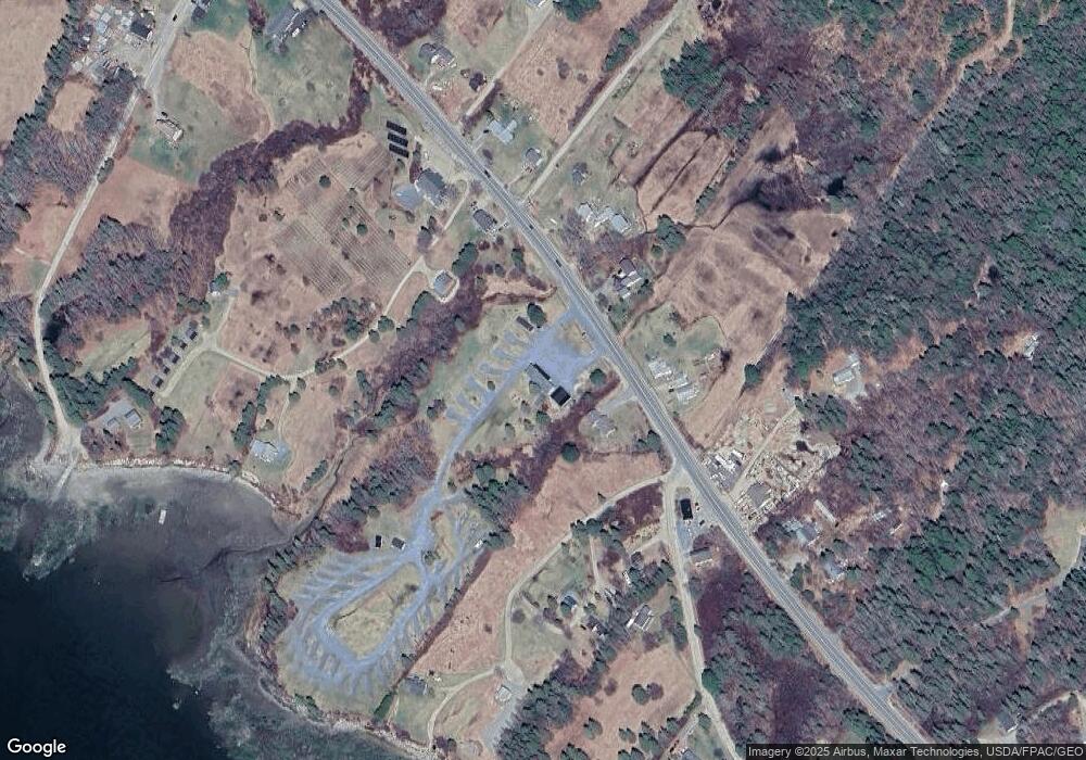
Map
Nearby Homes
- 3 Morancy Rd
- 10 Jones Way
- 38-1 N Shore of Center Pond
- 54 Emerson Preble Rd
- 520 W Shore Rd
- 87 Route 1
- 14a W Shore Rd
- 191 W Shore Rd
- Lot 14A W Shore Rd
- 7 N Star Ln
- 5 Main St
- 66 Waukeag Ave
- 2103 Us Hwy 1
- 122 Waukeag Ave
- 200 Flanders Pond Rd
- 72 Harbor View Dr
- 117 Sandy Acres Dr
- 0 Solarina Ave Unit 1634527
- 142 Sandy Acres Dr
- 163 Sandy Acres Dr
- 60 Bayview Point
- 5 Bayview Dr
- 4 Bayview Dr
- 60 Bay View Point
- 60 Bay View Point
- 2703 Us Hwy 1
- 60 Joy Smith Ln
- 46 Joy Smith Ln
- 46+60 Joy Smith Ln
- 2679 Us Hwy 1
- 20 Joy Smith Ln
- 70 Bayview Point
- 2679 Us 1 Hwy
- 83 Bay View Point Rd
- 2702 Us Hwy 1
- 2694 Us Hwy 1
- 0 Bayview Point
- 2688 U S 1
- 2688 Us Hwy 1
- 2720 Us Hwy 1