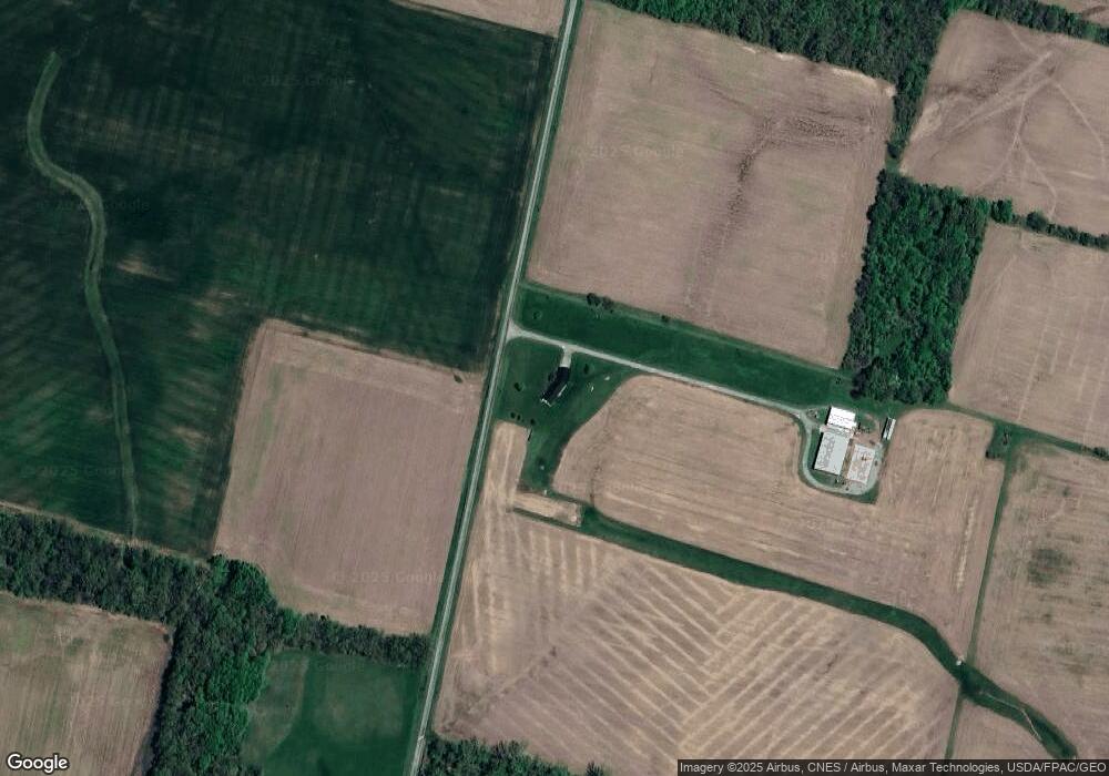
26960 Coder Holloway Rd West Mansfield, OH 43358
Estimated Value: $207,000 - $376,000
3
Beds
2
Baths
1,782
Sq Ft
$173/Sq Ft
Est. Value
About This Home
This home is located at 26960 Coder Holloway Rd, West Mansfield, OH 43358 and is currently estimated at $308,961, approximately $173 per square foot. 26960 Coder Holloway Rd is a home located in Union County with nearby schools including Raymond Elementary School, Creekview Intermediate Elementary School, and Bunsold Middle School.
Create a Home Valuation Report for This Property
The Home Valuation Report is an in-depth analysis detailing your home's value as well as a comparison with similar homes in the area
Home Values in the Area
Average Home Value in this Area
Tax History Compared to Growth
Tax History
| Year | Tax Paid | Tax Assessment Tax Assessment Total Assessment is a certain percentage of the fair market value that is determined by local assessors to be the total taxable value of land and additions on the property. | Land | Improvement |
|---|---|---|---|---|
| 2024 | $3,112 | $75,350 | $11,220 | $64,130 |
| 2023 | $3,112 | $75,350 | $11,220 | $64,130 |
| 2022 | $3,064 | $75,350 | $11,220 | $64,130 |
| 2021 | $2,741 | $64,850 | $11,400 | $53,450 |
| 2020 | $2,597 | $64,850 | $11,400 | $53,450 |
| 2019 | $2,669 | $64,850 | $11,400 | $53,450 |
| 2018 | $2,496 | $58,680 | $10,330 | $48,350 |
| 2017 | $2,376 | $58,680 | $10,330 | $48,350 |
| 2016 | $2,434 | $58,680 | $10,330 | $48,350 |
| 2015 | $2,180 | $51,340 | $9,770 | $41,570 |
| 2014 | $2,180 | $51,340 | $9,770 | $41,570 |
| 2013 | $2,212 | $51,340 | $9,770 | $41,570 |
Source: Public Records
Map
Nearby Homes
- 25400 Storms Rd
- 28370 State Route 739
- 23750 Drake-Skidmore Rd
- 289 E Center St
- 262 S Main St
- 25875 Ohio 31
- 30650 State Route 739
- 31535 State Route 31
- 18055 Miller Rd
- 0 Ohio 31
- 18130 Richwood Miller Rd
- 21560 Johnson Rd
- 32220 State Route 31
- 0 Johnson Rd Unit 222024368
- 0 Johnson Rd Unit 225027964
- 0 Johnson Rd Unit Lot 2 222024351
- 20350 Bear Swamp Rd
- 20269 Bear Swamp Rd
- 0 State Route 347 Lot 2
- 0 Benton Rd Unit Lot A 225022636
- 26657 Coder Holloway Rd
- 23108 Morse Rd
- 22117 Davis Rd
- 22666 Davis Rd
- 23880 Davis Rd
- 0 Davis Rd Unit 9821540
- 0 Davis Rd
- 0 Davis Rd
- 0 Davis Rd
- 0 Coder-Holloway Rd
- 27107 Storms Rd
- 26305 Storms Rd
- 23102 Morse Rd
- 26294 Storms Rd
- 21747 Davis Rd
- 23001 Davis Rd
- 26173 Storms Rd
- 0 Storms Rd Unit 2551111
- 0 Storms Rd Unit 2548469
- 0 Storms Rd Unit 66000
