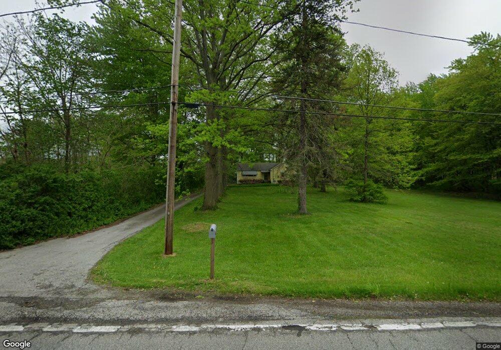
2697 Burns Rd Madison, OH 44057
Estimated Value: $161,000 - $234,000
2
Beds
1
Bath
889
Sq Ft
$207/Sq Ft
Est. Value
About This Home
This home is located at 2697 Burns Rd, Madison, OH 44057 and is currently estimated at $184,310, approximately $207 per square foot. 2697 Burns Rd is a home located in Lake County with nearby schools including South Elementary School, Madison Middle School, and Madison High School.
Ownership History
Date
Name
Owned For
Owner Type
Purchase Details
Closed on
Aug 22, 2000
Sold by
Thompson Elizabeth A and Pocza Elizabeth
Bought by
Marthey Daniel R
Current Estimated Value
Home Financials for this Owner
Home Financials are based on the most recent Mortgage that was taken out on this home.
Original Mortgage
$76,700
Outstanding Balance
$27,614
Interest Rate
8.12%
Estimated Equity
$156,696
Purchase Details
Closed on
Sep 16, 1991
Bought by
Pocza Elizabeth
Create a Home Valuation Report for This Property
The Home Valuation Report is an in-depth analysis detailing your home's value as well as a comparison with similar homes in the area
Home Values in the Area
Average Home Value in this Area
Purchase History
| Date | Buyer | Sale Price | Title Company |
|---|---|---|---|
| Marthey Daniel R | $90,300 | Enterprise Title Agency Inc | |
| Pocza Elizabeth | -- | -- |
Source: Public Records
Mortgage History
| Date | Status | Borrower | Loan Amount |
|---|---|---|---|
| Open | Marthey Daniel R | $76,700 |
Source: Public Records
Tax History Compared to Growth
Tax History
| Year | Tax Paid | Tax Assessment Tax Assessment Total Assessment is a certain percentage of the fair market value that is determined by local assessors to be the total taxable value of land and additions on the property. | Land | Improvement |
|---|---|---|---|---|
| 2024 | -- | $48,340 | $14,610 | $33,730 |
| 2023 | $3,705 | $33,330 | $11,770 | $21,560 |
| 2022 | $2,062 | $33,330 | $11,770 | $21,560 |
| 2021 | $2,065 | $33,330 | $11,770 | $21,560 |
| 2020 | $2,018 | $28,730 | $10,140 | $18,590 |
| 2019 | $2,019 | $28,730 | $10,140 | $18,590 |
| 2018 | $1,952 | $30,440 | $11,410 | $19,030 |
| 2017 | $2,126 | $30,440 | $11,410 | $19,030 |
| 2016 | $2,092 | $30,440 | $11,410 | $19,030 |
| 2015 | $1,823 | $30,440 | $11,410 | $19,030 |
| 2014 | $1,864 | $30,440 | $11,410 | $19,030 |
| 2013 | $1,868 | $30,440 | $11,410 | $19,030 |
Source: Public Records
Map
Nearby Homes
- 2656 Lake Breeze Dr
- 0 N Ridge (Us Rt 20) Rd Unit 4151016
- 1087 W Mallard Dr Unit C29
- 0 Norwood Dr Unit 5101897
- 5742 Abiding Way
- 12 Square Circle Dr
- 6073 Chapel Rd
- 5930 Keith Dr
- 6046 Dundee St
- 6835 Shelly Dr
- 0 Mcmackin Rd Unit 5102732
- 1861 Stirling Rd
- 1877 Clyde Rd
- 5470 N Ridge Rd
- 1799 Meadows Rd
- 6218 Maxwell Dr
- 5734 Middle Ridge Rd
- 6242 Maxwell Dr
- 1775 Green Rd
- 1826 Hubbard Rd