2697 S Maple Leaf Ln Springfield, MO 65802
Estimated Value: $513,641
Studio
--
Bath
6,000
Sq Ft
$86/Sq Ft
Est. Value
About This Home
This home is located at 2697 S Maple Leaf Ln, Springfield, MO 65802 and is currently priced at $513,641, approximately $85 per square foot. 2697 S Maple Leaf Ln is a home located in Greene County with nearby schools including Price Elementary School, Republic Middle School, and Republic High School.
Ownership History
Date
Name
Owned For
Owner Type
Purchase Details
Closed on
May 18, 2017
Sold by
Nsi E Llc
Bought by
Nsi B Llc
Current Estimated Value
Purchase Details
Closed on
Dec 17, 2015
Sold by
Brines Loren W and Turner Jason D
Bought by
The Bank Of Mississippi
Purchase Details
Closed on
Jan 20, 2011
Sold by
The Bank
Bought by
Medwest Towing And Revorvery Llc
Purchase Details
Closed on
Jun 23, 2010
Sold by
James River Crossing Llc
Bought by
The Bank Of Missouri
Create a Home Valuation Report for This Property
The Home Valuation Report is an in-depth analysis detailing your home's value as well as a comparison with similar homes in the area
Home Values in the Area
Average Home Value in this Area
Purchase History
| Date | Buyer | Sale Price | Title Company |
|---|---|---|---|
| Nsi B Llc | -- | None Available | |
| The Bank Of Mississippi | -- | None Available | |
| Medwest Towing And Revorvery Llc | -- | None Available | |
| The Bank Of Missouri | -- | None Available |
Source: Public Records
Tax History
| Year | Tax Paid | Tax Assessment Tax Assessment Total Assessment is a certain percentage of the fair market value that is determined by local assessors to be the total taxable value of land and additions on the property. | Land | Improvement |
|---|---|---|---|---|
| 2025 | $7,594 | $115,240 | $28,580 | $86,660 |
| 2024 | $6,537 | $97,120 | $13,540 | $83,580 |
| 2023 | $6,428 | $97,120 | $13,540 | $83,580 |
| 2022 | $6,086 | $91,240 | $13,540 | $77,700 |
| 2021 | $6,086 | $91,240 | $13,540 | $77,700 |
| 2020 | $5,715 | $91,400 | $13,540 | $77,860 |
| 2019 | $5,698 | $91,400 | $13,540 | $77,860 |
| 2018 | $5,377 | $84,100 | $13,540 | $70,560 |
| 2017 | $5,344 | $83,170 | $13,540 | $69,630 |
| 2016 | $5,326 | $83,170 | $13,540 | $69,630 |
| 2015 | $5,323 | $83,170 | $13,540 | $69,630 |
| 2014 | $5,351 | $82,880 | $13,540 | $69,340 |
Source: Public Records
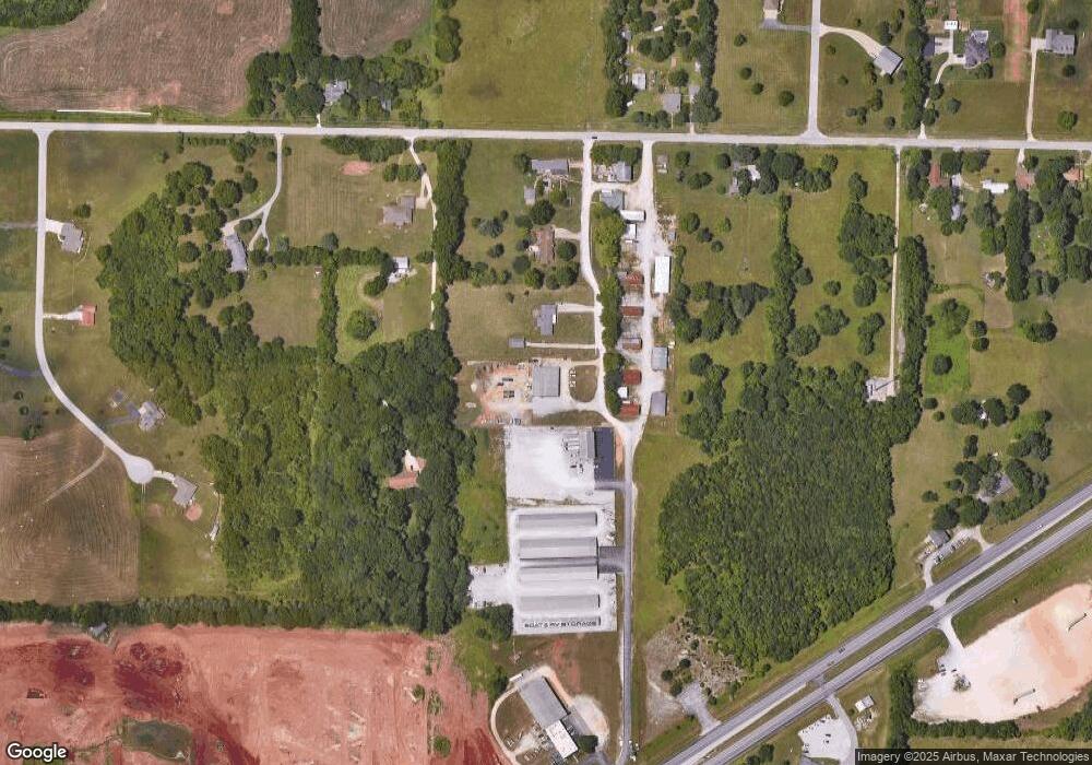
Map
Nearby Homes
- 5189 W Sunshine St
- 1883 S Farm Road 107
- 000 W Farm Road 148
- 1884 S Lullwood Ave
- 5265 S Morgan
- 4881 W Washita St
- Tbd W Farm Road 148
- 000 W Farm Road 156
- 1707 S Miller Rd
- 5635 W Mangrove St
- 4487 W University St
- 000 S State Highway Mm
- 4427 W University St
- 2314 S Farm Road 123
- 4070 W Cambridge St
- 4031 W Leisa St
- 2721 S Timbercreek Ave
- Tract 4 S Farm Road 115
- 2892 S Timbercreek Ave
- 1236 S Birch Ave
- 2683 S Maple Leaf Ln
- 2649 S Maple Leaf Ln
- 5504 W Farm Road 156
- 2605 S Maple Leaf Ln
- 5508 W Farm Road 156
- 5314 W Farm Road 156
- 5401 W Farm Road 156
- 5548 W Farm Road 156
- 5547 W Farm Road 156
- 2686 S Francis Dr
- 2664 S Francis Dr
- 5294 W Farm Road 156
- 2545 S Farm Road 111
- 5185 W Sunshine St
- 2544 S Farm Road 111
- 2632 S Francis Dr
- 0 S Francis Dr Unit 10814528
- 0 S Francis Dr Unit 10909133
- 0 S Francis Dr
- 5505 W Sunshine St