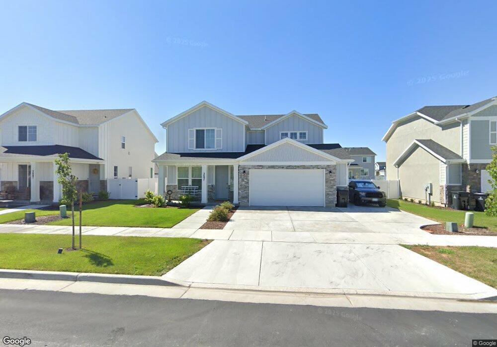
2697 W 3230 S Unit 122 Syracuse, UT 84075
Estimated Value: $519,000 - $544,000
3
Beds
3
Baths
2,021
Sq Ft
$263/Sq Ft
Est. Value
About This Home
This home is located at 2697 W 3230 S Unit 122, Syracuse, UT 84075 and is currently estimated at $531,662, approximately $263 per square foot. 2697 W 3230 S Unit 122 is a home located in Davis County with nearby schools including Cook School, Legacy Junior High School, and Clearfield High School.
Ownership History
Date
Name
Owned For
Owner Type
Purchase Details
Closed on
May 1, 2024
Sold by
Nichols Brian and Rizza Lynn
Bought by
Luong Sang and Lam Denh Va
Current Estimated Value
Home Financials for this Owner
Home Financials are based on the most recent Mortgage that was taken out on this home.
Original Mortgage
$412,000
Outstanding Balance
$405,832
Interest Rate
6.87%
Mortgage Type
New Conventional
Estimated Equity
$125,830
Purchase Details
Closed on
Jun 21, 2021
Sold by
Nichols Brian and Nichols Rizza
Bought by
Nichols Brian and Nichols Rizza
Home Financials for this Owner
Home Financials are based on the most recent Mortgage that was taken out on this home.
Original Mortgage
$446,091
Interest Rate
2.9%
Mortgage Type
VA
Create a Home Valuation Report for This Property
The Home Valuation Report is an in-depth analysis detailing your home's value as well as a comparison with similar homes in the area
Home Values in the Area
Average Home Value in this Area
Purchase History
| Date | Buyer | Sale Price | Title Company |
|---|---|---|---|
| Luong Sang | -- | Capstone Title | |
| Nichols Brian | -- | Cottonwood Title Ins | |
| Nichols Brian | -- | Cottonwood Title Ins | |
| Century Communities Of Utah Llc | -- | Cottonwood Title Ins Agcy |
Source: Public Records
Mortgage History
| Date | Status | Borrower | Loan Amount |
|---|---|---|---|
| Open | Luong Sang | $412,000 | |
| Previous Owner | Nichols Brian | $446,091 |
Source: Public Records
Tax History Compared to Growth
Tax History
| Year | Tax Paid | Tax Assessment Tax Assessment Total Assessment is a certain percentage of the fair market value that is determined by local assessors to be the total taxable value of land and additions on the property. | Land | Improvement |
|---|---|---|---|---|
| 2025 | $2,913 | $281,050 | $100,716 | $180,334 |
| 2024 | $2,769 | $268,950 | $74,682 | $194,268 |
| 2023 | $2,667 | $472,000 | $120,137 | $351,863 |
| 2022 | $2,862 | $277,750 | $56,881 | $220,869 |
| 2021 | $555 | $83,328 | $83,328 | $0 |
| 2020 | $797 | $63,738 | $63,738 | $0 |
Source: Public Records
Map
Nearby Homes
- 3158 S 2550 West St
- 3062 S 2675 W
- 3006 S 2725 W
- 2983 W North Shore Dr
- 2996 S 2550 W
- 3352 S 2410 W Unit 117
- Zion Plan at Shoreline - Parkview
- Glacier Plan at Shoreline - Parkview
- Stonehaven Plan at Shoreline - Parkview
- Teton Plan at Shoreline - Parkview
- Everglade Plan at Shoreline - Parkview
- Yosemite Plan at Shoreline - Parkview
- Amesbury Plan at Shoreline - Parkview
- Redwood Plan at Shoreline - Parkview
- Bryce Plan at Shoreline - Parkview
- Denali Plan at Shoreline - Parkview
- Hampton Estate Plan at Shoreline - Parkview
- 3253 S Lincoln Ln
- 2921 S 2425 W Unit 1119
- 2735 S Shoreline Dr
- 2697 W 3230 S
- 2687 W 3230 S Unit 123
- 2707 W 3230 S
- 2707 W 3230 S Unit 121
- 2677 W 3230 S
- 2696 W 3290 S
- 2686 W 3290 S
- 2706 W 3290 S
- 2698 W 3230 S
- 2676 W 3290 S
- 2678 W 3230 S Unit 108
- 2657 W 3230 S
- 2657 W 3230 S Unit 125
- 2708 W 3230 S Unit 110
- 2708 W 3230 S
- 2668 W 3230 S Unit 107
- 3254 S Fields Ave
- 3244 S Fields Ave
- 2656 W 3290 S
- 3234 S Fields Ave Unit 113