2699 Terrwood Dr W Unit 151 Macungie, PA 18062
Lower Macungie Township East NeighborhoodEstimated Value: $390,000 - $399,000
2
Beds
2
Baths
1,580
Sq Ft
$250/Sq Ft
Est. Value
About This Home
This home is located at 2699 Terrwood Dr W Unit 151, Macungie, PA 18062 and is currently estimated at $394,568, approximately $249 per square foot. 2699 Terrwood Dr W Unit 151 is a home located in Lehigh County with nearby schools including Macungie Elementary School, Eyer Middle School, and Emmaus High School.
Ownership History
Date
Name
Owned For
Owner Type
Purchase Details
Closed on
Aug 22, 2022
Sold by
Johnson Julie A
Bought by
Laudenslager Carol A
Current Estimated Value
Purchase Details
Closed on
Nov 26, 2018
Sold by
Ormanoski Marie L
Bought by
Johnson Julie A
Purchase Details
Closed on
Nov 5, 2018
Sold by
Ormanoski Marie L and Helmer Lisa M
Bought by
Ormanoski Marie L
Purchase Details
Closed on
Aug 3, 2006
Sold by
Ormanoski Marie L
Bought by
Ormanoski Marie L and Helmer Lisa M
Purchase Details
Closed on
Mar 31, 2004
Sold by
Wild Cherry Knoll Lp
Bought by
Ormanoski Marie L
Home Financials for this Owner
Home Financials are based on the most recent Mortgage that was taken out on this home.
Original Mortgage
$146,200
Interest Rate
5.56%
Mortgage Type
Purchase Money Mortgage
Create a Home Valuation Report for This Property
The Home Valuation Report is an in-depth analysis detailing your home's value as well as a comparison with similar homes in the area
Home Values in the Area
Average Home Value in this Area
Purchase History
| Date | Buyer | Sale Price | Title Company |
|---|---|---|---|
| Laudenslager Carol A | $365,000 | None Listed On Document | |
| Johnson Julie A | $249,000 | Greater Pennsylvania Abstrac | |
| Ormanoski Marie L | -- | None Available | |
| Ormanoski Marie L | -- | None Available | |
| Ormanoski Marie L | $194,975 | -- |
Source: Public Records
Mortgage History
| Date | Status | Borrower | Loan Amount |
|---|---|---|---|
| Previous Owner | Ormanoski Marie L | $146,200 |
Source: Public Records
Tax History Compared to Growth
Tax History
| Year | Tax Paid | Tax Assessment Tax Assessment Total Assessment is a certain percentage of the fair market value that is determined by local assessors to be the total taxable value of land and additions on the property. | Land | Improvement |
|---|---|---|---|---|
| 2025 | $5,486 | $214,900 | $0 | $214,900 |
| 2024 | $5,308 | $214,900 | $0 | $214,900 |
| 2023 | $5,202 | $214,900 | $0 | $214,900 |
| 2022 | $5,079 | $214,900 | $214,900 | $0 |
| 2021 | $4,971 | $214,900 | $0 | $214,900 |
| 2020 | $4,924 | $214,900 | $0 | $214,900 |
| 2019 | $4,840 | $214,900 | $0 | $214,900 |
| 2018 | $4,776 | $214,900 | $0 | $214,900 |
| 2017 | $4,693 | $214,900 | $0 | $214,900 |
| 2016 | -- | $214,900 | $0 | $214,900 |
| 2015 | -- | $214,900 | $0 | $214,900 |
| 2014 | -- | $214,900 | $0 | $214,900 |
Source: Public Records
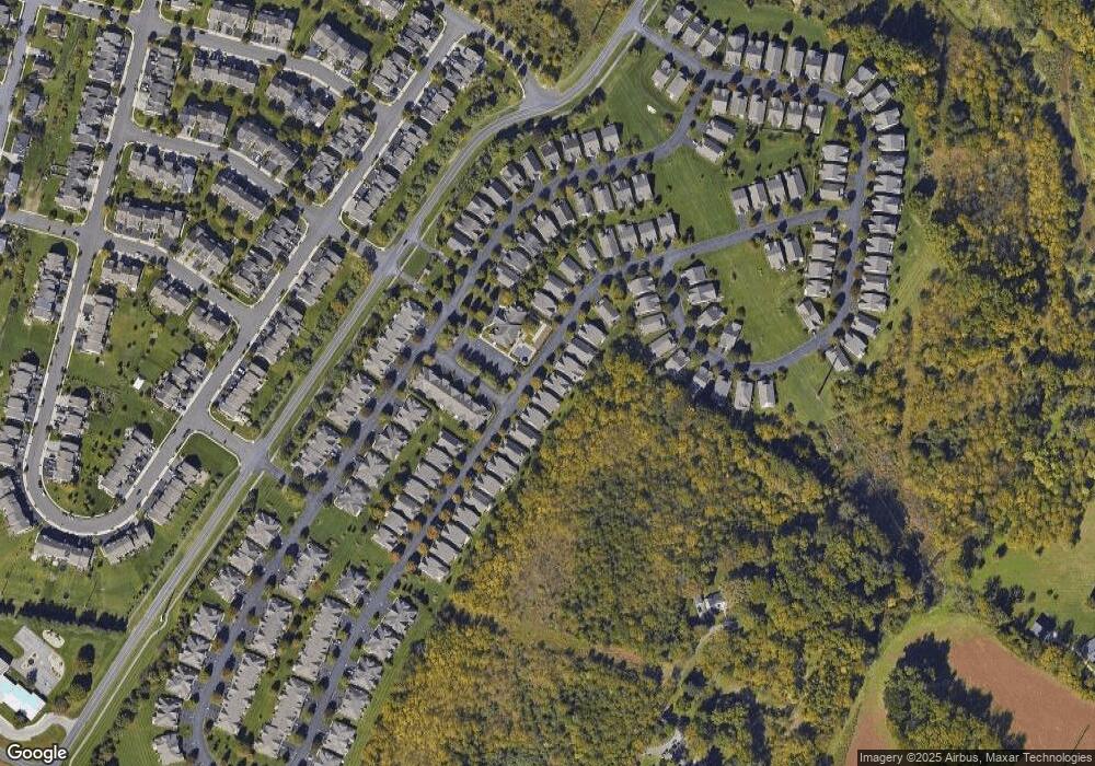
Map
Nearby Homes
- 2691 Terrwood Dr W Unit 176
- 5706 Whitemarsh Dr
- 2969 Aronimink Place
- 2992 Aronimink Place
- 2878 Whitemarsh Place
- 2173 Brookside Rd
- 4804 Parkview Dr S
- 5314 Beaumont Ln
- 2756 Springhaven Place
- 2796 Springhaven Place
- 2777 Springhaven Place
- 5357 Bradford Ln Unit 173
- 2560 Gracie Lone
- 4762 Steeplechase Dr Unit 13C
- 2518 Stanford Cir
- 5288 Brocton Ct
- 6022 Eli Cir
- 2570 Millbrook Dr
- 5175 Meadowview Dr
- 2834 Sheffield Dr
- 2647 Terrwood Dr W Unit 197
- 2645 Terrwood Dr W
- 2649 Terrwood Dr W Unit 196
- 2643 Terrwood Dr W Unit 199
- 2651 Terrwood Dr W Unit 195
- 2653 Terrwood Dr W Unit 194
- 2657 Terrwood Dr W Unit 192
- 2675 Terrwood Dr W Unit 184
- 2677 Terrwood Dr W
- 2681 Terrwood Dr W
- 2685 Terrwood Dr W Unit 179
- 2687 Terrwood Dr W
- 2689 Terrwood Dr W Unit 177
- 2683 Terrwood Dr W Unit 180
- 2673 Terrwood Dr W Unit 185
- 2701 Terrwood Dr W
- 2697 Terrwood Dr W Unit 150
- 2669 Terrwood Dr W
- 2679 Terrwood Dr W Unit 182
- 2671 Terrwood Dr W