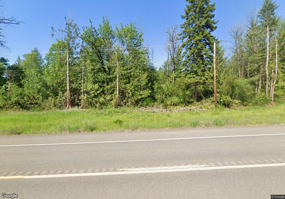
2699 Us Highway 12 Mossyrock, WA 98564
Estimated Value: $366,000 - $650,000
--
Bed
--
Bath
2,052
Sq Ft
$272/Sq Ft
Est. Value
About This Home
This home is located at 2699 Us Highway 12, Mossyrock, WA 98564 and is currently estimated at $558,781, approximately $272 per square foot. 2699 Us Highway 12 is a home with nearby schools including Mossyrock Elementary School and Mossyrock Middle/High School.
Ownership History
Date
Name
Owned For
Owner Type
Purchase Details
Closed on
Oct 31, 2008
Sold by
Columbia State Bank
Bought by
Howard Michael D and Howard Vicki G
Current Estimated Value
Purchase Details
Closed on
Oct 29, 2008
Sold by
Sanchez Mary I
Bought by
Rapali Gabriel C and Rapali Joan M
Purchase Details
Closed on
Jan 26, 2004
Sold by
Howard Michael D and Howard Vicki G
Bought by
Sanchez Francisco J and Sanchez Mary I
Create a Home Valuation Report for This Property
The Home Valuation Report is an in-depth analysis detailing your home's value as well as a comparison with similar homes in the area
Home Values in the Area
Average Home Value in this Area
Purchase History
| Date | Buyer | Sale Price | Title Company |
|---|---|---|---|
| Howard Michael D | $32,233 | None Available | |
| Rapali Gabriel C | $50,880 | Title Guaranty | |
| Sanchez Francisco J | -- | None Available |
Source: Public Records
Tax History Compared to Growth
Tax History
| Year | Tax Paid | Tax Assessment Tax Assessment Total Assessment is a certain percentage of the fair market value that is determined by local assessors to be the total taxable value of land and additions on the property. | Land | Improvement |
|---|---|---|---|---|
| 2025 | $3,492 | $545,500 | $138,300 | $407,200 |
| 2024 | $3,492 | $539,000 | $141,900 | $397,100 |
| 2023 | $3,644 | $544,400 | $104,600 | $439,800 |
| 2022 | $3,653 | $431,400 | $82,900 | $348,500 |
| 2021 | $3,514 | $431,400 | $82,900 | $348,500 |
| 2020 | $3,405 | $380,200 | $69,100 | $311,100 |
| 2019 | $3,189 | $343,000 | $69,100 | $273,900 |
| 2018 | $4,314 | $307,900 | $61,700 | $246,200 |
| 2017 | $3,844 | $381,600 | $54,600 | $327,000 |
| 2016 | $3,932 | $343,100 | $56,300 | $286,800 |
| 2015 | $2,381 | $349,300 | $62,500 | $286,800 |
| 2013 | $2,381 | $242,500 | $62,500 | $180,000 |
Source: Public Records
Map
Nearby Homes
- 2833a U S 12 Unit A
- 245 Stowell Rd
- 170 Gershick Rd
- 152 Fuller Rd
- 2958 U S 12
- 132 Salem Plant Rd
- 109 View Point Dr
- 401 Huntting Rd
- 2484 Spencer Rd
- 0 View Ridge Rd Unit NWM2434545
- 171 Barrier Dr
- 0 Spencer Rd Unit 656997086
- 0 Spencer Rd Unit NWM2430880
- 563 Shanklin Rd
- 147 E Zola Dr
- 173 Beach Rd
- 269 Kennedy Rd
- 927 Cinebar Rd
- 459 View Ridge Rd
- 304 Winston Creek Rd Unit B10L3
- 2699 Us Highway 12
- 2709 Us Highway 12
- 146 Fawnhill Dr
- 2668 U S 12
- 2684 Us Highway 12
- 129 Fawnhill Dr
- 2725 Us Highway 12
- 2725 U S 12
- 2725 Hwy 12
- 137 Fawnhill Dr
- 193 Fawnhill Dr
- 180 Fawnhill Dr
- 2527 Us Highway 12
- 2629 Us Highway 12
- 123 Fischer Rd
- 2629 Us Highway 12
- 18 Salkum Heights Dr
- 31 Salkum Rd
- 0 Salkum Heights Dr
- 0 Salkum Rd
