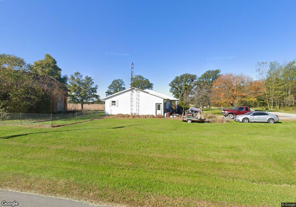
26996 Buckland Holden Rd Waynesfield, OH 45896
Estimated Value: $262,000 - $487,000
3
Beds
2
Baths
1,992
Sq Ft
$169/Sq Ft
Est. Value
About This Home
This home is located at 26996 Buckland Holden Rd, Waynesfield, OH 45896 and is currently estimated at $337,233, approximately $169 per square foot. 26996 Buckland Holden Rd is a home located in Auglaize County with nearby schools including Waynesfield-Goshen Local Elementary School and Waynesfield-Goshen Local High School.
Ownership History
Date
Name
Owned For
Owner Type
Purchase Details
Closed on
Sep 16, 2019
Sold by
Millirans Robert J and Millirans Tracy L
Bought by
Millirans Robert J and Millirans Tracy L
Current Estimated Value
Purchase Details
Closed on
Sep 17, 2002
Sold by
Gossard Randy D
Bought by
Millirans Robert J
Purchase Details
Closed on
Jun 13, 1996
Sold by
Combs Raymond
Bought by
Gossard Randy D
Purchase Details
Closed on
May 31, 1991
Sold by
Turner Kim L
Bought by
Combs Raymond
Create a Home Valuation Report for This Property
The Home Valuation Report is an in-depth analysis detailing your home's value as well as a comparison with similar homes in the area
Home Values in the Area
Average Home Value in this Area
Purchase History
| Date | Buyer | Sale Price | Title Company |
|---|---|---|---|
| Millirans Robert J | -- | None Available | |
| Millirans Robert J | $124,000 | -- | |
| Gossard Randy D | $89,500 | -- | |
| Combs Raymond | $64,500 | -- |
Source: Public Records
Tax History Compared to Growth
Tax History
| Year | Tax Paid | Tax Assessment Tax Assessment Total Assessment is a certain percentage of the fair market value that is determined by local assessors to be the total taxable value of land and additions on the property. | Land | Improvement |
|---|---|---|---|---|
| 2024 | $5,450 | $86,650 | $6,720 | $79,930 |
| 2023 | $3,057 | $86,900 | $6,720 | $80,180 |
| 2022 | $2,404 | $56,230 | $6,110 | $50,120 |
| 2021 | $2,354 | $56,230 | $6,110 | $50,120 |
| 2020 | $2,297 | $56,228 | $6,108 | $50,120 |
| 2019 | $1,855 | $46,855 | $5,089 | $41,766 |
| 2018 | $1,813 | $46,855 | $5,089 | $41,766 |
| 2017 | $1,821 | $46,855 | $5,089 | $41,766 |
| 2016 | $1,575 | $42,116 | $4,848 | $37,268 |
| 2015 | $2,480 | $42,116 | $4,848 | $37,268 |
| 2014 | $1,559 | $42,116 | $4,848 | $37,268 |
| 2013 | $1,731 | $42,116 | $4,848 | $37,268 |
Source: Public Records
Map
Nearby Homes
- 8150 Amherst Rd
- 105 Guthrie St
- 202 W Mulberry St
- 25836 Ohio 67
- 5065 Amherst Rd
- 22275 Buckland Holden Rd
- 7165 Faulkner Rd
- 6616 Bellefontaine Rd
- 6381 McPheron Rd
- 200 S Main St
- 0 Ohio 235
- 5600 E Hanthorn Rd
- E Hanthorn Rd
- 1855 S Cool Rd
- 20630 State Route 67
- 4160 E Hanthorn Rd
- 6782 County Road 15
- 203 Belmont St
- 2444 County Road 200
- 3080 E Hanthorn Rd
- 18833 Gant Rd
- 19301 Gant Rd
- 27412 Buckland Holden Rd
- 27409 Buckland Holden Rd
- 27408 Buckland Holden Rd
- 18524 Gant Rd
- 27525 Buckland Holden Rd
- 27474 Buckland Holden Rd
- 26475 Buckland Holden Rd
- 18632 Andrews Rd
- 19600 Gant Rd
- 19599 Gant Rd
- 19771 Gant Rd
- 18390 Andrews Rd
- 18401 Andrews Rd
- 26229 Buckland Holden Rd
- 19788 Gant Rd