26996 State Route 385 Lakeview, OH 43331
Estimated Value: $180,000 - $420,000
4
Beds
3
Baths
2,016
Sq Ft
$143/Sq Ft
Est. Value
About This Home
This home is located at 26996 State Route 385, Lakeview, OH 43331 and is currently estimated at $287,778, approximately $142 per square foot. 26996 State Route 385 is a home located in Auglaize County with nearby schools including Waynesfield-Goshen Local Elementary School and Waynesfield-Goshen Local High School.
Ownership History
Date
Name
Owned For
Owner Type
Purchase Details
Closed on
Jun 13, 2016
Sold by
Wilson Caleb A and Wilson Karen M
Bought by
Endel Ted L and Endel Kelly S
Current Estimated Value
Home Financials for this Owner
Home Financials are based on the most recent Mortgage that was taken out on this home.
Original Mortgage
$120,000
Outstanding Balance
$10,576
Interest Rate
3.61%
Mortgage Type
Purchase Money Mortgage
Estimated Equity
$277,202
Purchase Details
Closed on
Feb 25, 2011
Sold by
Horn Joe and Horn Jean G
Bought by
Wilson Caleb A and Wilson Karen M
Home Financials for this Owner
Home Financials are based on the most recent Mortgage that was taken out on this home.
Original Mortgage
$127,120
Interest Rate
4.76%
Mortgage Type
New Conventional
Purchase Details
Closed on
Apr 2, 1997
Sold by
Andrews Stephen
Bought by
Horn Joe and Horn Jean G
Purchase Details
Closed on
Sep 20, 1995
Sold by
Andrews Stephen
Bought by
Andrews Stephen
Create a Home Valuation Report for This Property
The Home Valuation Report is an in-depth analysis detailing your home's value as well as a comparison with similar homes in the area
Home Values in the Area
Average Home Value in this Area
Purchase History
| Date | Buyer | Sale Price | Title Company |
|---|---|---|---|
| Endel Ted L | $188,000 | Attorney | |
| Wilson Caleb A | $158,900 | Attorney | |
| Horn Joe | $112,000 | -- | |
| Andrews Stephen | $23,500 | -- |
Source: Public Records
Mortgage History
| Date | Status | Borrower | Loan Amount |
|---|---|---|---|
| Open | Endel Ted L | $120,000 | |
| Previous Owner | Wilson Caleb A | $127,120 |
Source: Public Records
Tax History Compared to Growth
Tax History
| Year | Tax Paid | Tax Assessment Tax Assessment Total Assessment is a certain percentage of the fair market value that is determined by local assessors to be the total taxable value of land and additions on the property. | Land | Improvement |
|---|---|---|---|---|
| 2024 | $4,704 | $76,170 | $8,360 | $67,810 |
| 2023 | $1,317 | $76,170 | $8,360 | $67,810 |
| 2022 | $2,607 | $64,710 | $7,600 | $57,110 |
| 2021 | $1,289 | $64,710 | $7,600 | $57,110 |
| 2020 | $2,604 | $64,709 | $7,599 | $57,110 |
| 2019 | $2,195 | $56,032 | $6,552 | $49,480 |
| 2018 | $2,159 | $54,667 | $6,552 | $48,115 |
| 2017 | $2,103 | $54,667 | $6,552 | $48,115 |
| 2016 | $1,849 | $49,459 | $6,241 | $43,218 |
| 2015 | $1,850 | $49,459 | $6,241 | $43,218 |
| 2014 | $1,852 | $49,459 | $6,241 | $43,218 |
| 2013 | $2,041 | $49,459 | $6,241 | $43,218 |
Source: Public Records
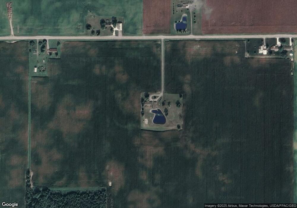
Map
Nearby Homes
- 11352 N Township Road 88
- 12030 Holly Dr Unit 31
- 12015 Holly Dr
- 12007 Holly Dr
- 11762 Sunview Ave
- 11579 Cooper Ave
- 11879 Sunrise St
- 13793 Ohio 235 Unit 75
- 11161 Macalpine Way
- 11385 Horseshoe Channel Dr
- 11546 Horseshoe Channel Dr
- 11526 Horseshoe Channel Dr
- 11524 Powhatan Path
- 11638 Channel View Dr
- 13501 Eagle Path
- 11496 Powhatan Path
- 11518 Kickapoo Path
- 11539 Big Bear Path
- 11531 Circle Dr
- 27091 State Route 385
- 26778 State Route 385
- 26923 State Route 385
- 27254 State Route 385
- 27254 State Route 385
- 27288 State Route 385
- 27288 Ohio 385
- 26574 State Route 385
- 27479 State Route 385
- 27518 State Route 385
- 26445 State Route 385
- 27705 State Route 385
- 26255 State Route 385
- 155 E Market St
- 26255 Ohio 385
- 13118 Seminole Path Unit 33
- 13058 Seminole Path Unit 33
- 13294 Seminole Path Unit 33
- 137 E Market St
- 137 W Market St