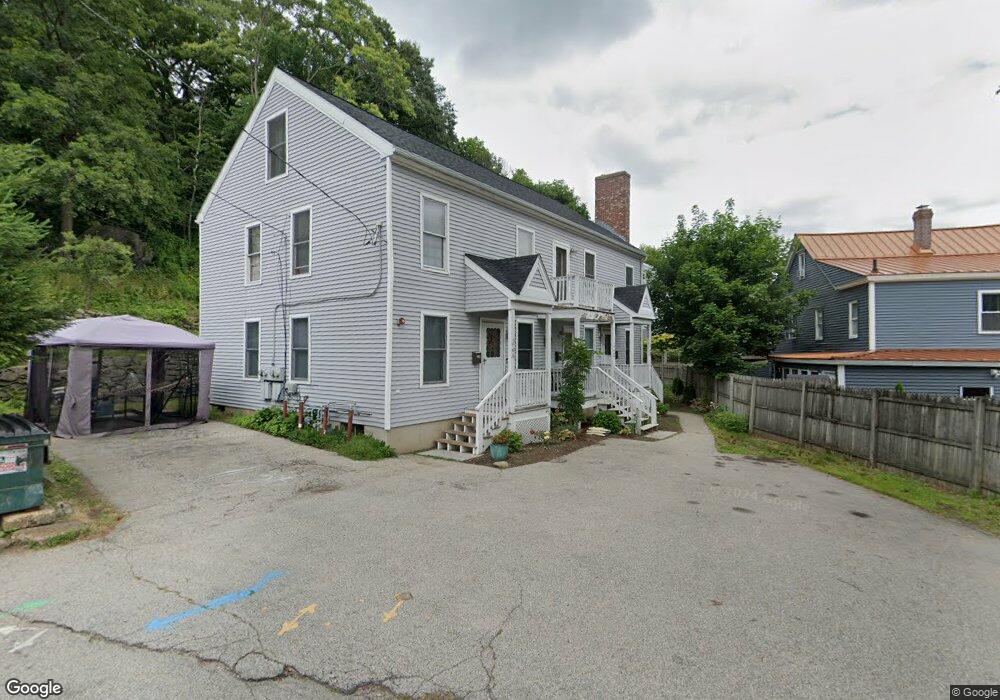
26A High St Unit D Millbury, MA 01527
Bramanville Village NeighborhoodEstimated Value: $664,000 - $772,000
8
Beds
3
Baths
3,384
Sq Ft
$218/Sq Ft
Est. Value
About This Home
This home is located at 26A High St Unit D, Millbury, MA 01527 and is currently estimated at $737,958, approximately $218 per square foot. 26A High St Unit D is a home located in Worcester County with nearby schools including Elmwood Street Elementary School, Raymond E. Shaw Elementary School, and Millbury Junior/Senior High School.
Ownership History
Date
Name
Owned For
Owner Type
Purchase Details
Closed on
Jul 27, 2023
Sold by
Mahan Michael Lon Est and Mahan
Bought by
Mahan Betsy J
Current Estimated Value
Purchase Details
Closed on
May 28, 1996
Sold by
Loconto Andrew J and Loconto Judith
Bought by
Mahan Michael L
Home Financials for this Owner
Home Financials are based on the most recent Mortgage that was taken out on this home.
Original Mortgage
$106,700
Interest Rate
8.01%
Mortgage Type
Purchase Money Mortgage
Create a Home Valuation Report for This Property
The Home Valuation Report is an in-depth analysis detailing your home's value as well as a comparison with similar homes in the area
Home Values in the Area
Average Home Value in this Area
Purchase History
| Date | Buyer | Sale Price | Title Company |
|---|---|---|---|
| Mahan Betsy J | -- | None Available | |
| Mahan Betsy J | -- | None Available | |
| Mahan Michael L | $110,000 | -- | |
| Mahan Michael L | $110,000 | -- |
Source: Public Records
Mortgage History
| Date | Status | Borrower | Loan Amount |
|---|---|---|---|
| Previous Owner | Mahan Michael L | $106,700 | |
| Previous Owner | Mahan Michael L | $84,700 |
Source: Public Records
Tax History
| Year | Tax Paid | Tax Assessment Tax Assessment Total Assessment is a certain percentage of the fair market value that is determined by local assessors to be the total taxable value of land and additions on the property. | Land | Improvement |
|---|---|---|---|---|
| 2025 | $7,504 | $560,400 | $115,000 | $445,400 |
| 2024 | $6,857 | $518,300 | $106,400 | $411,900 |
| 2023 | $6,104 | $422,400 | $74,300 | $348,100 |
| 2022 | $5,246 | $349,700 | $74,300 | $275,400 |
| 2021 | $5,195 | $336,700 | $74,300 | $262,400 |
| 2020 | $5,083 | $331,600 | $74,300 | $257,300 |
| 2019 | $4,918 | $310,300 | $67,500 | $242,800 |
| 2018 | $4,536 | $277,600 | $67,500 | $210,100 |
| 2017 | $4,561 | $277,600 | $67,500 | $210,100 |
| 2016 | $4,592 | $279,000 | $67,500 | $211,500 |
| 2015 | $4,424 | $268,800 | $71,600 | $197,200 |
| 2014 | $4,157 | $243,100 | $71,600 | $171,500 |
Source: Public Records
Map
Nearby Homes
- 38 W Main St
- 192 Horne Way Unit 192
- 11 Laurel Dr
- 124 Worcester Providence Turnpike
- 128 Worcester Providence Turnpike
- 28 Brierly Cir
- 57 Horne Way Unit 57
- 4 Jessica j Dr
- 0 Auburn Rd
- 5 Mogren Dr
- 2 Jessica j Dr
- 168 Burbank Rd
- 37-39 Main St
- 7 Canal St
- 29 Winwood Rd
- 0 Worcester Providence Turnpike
- 17 Lincoln Ave
- 18 Lincoln Ave
- 99 Burbank Road Lot 182
- 99 Burbank Rd
- 26 High St Unit A
- 26 High St Unit C
- 26 High St Unit B
- 24 High St
- 30 High St
- 124 W Main St
- 118 W Main St
- 126 W Main St
- 32 High St
- 20 High St
- 18 High St
- 114 W Main St Unit 114
- 107 W Main St
- 130 W Main St
- 112 W Main St Unit 112
- 35 High St
- 99 W Main St
- 9 Victoria Terrace
- 22 High St Unit B
- 22 High St Unit A