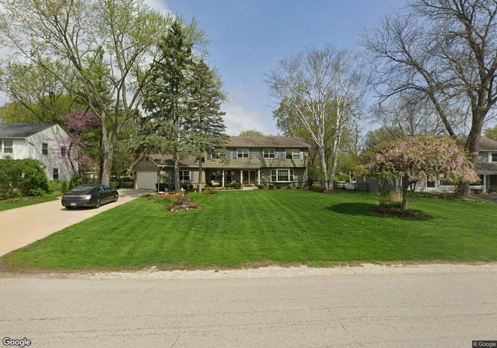
26W260 Durfee Rd Wheaton, IL 60189
Arrowhead NeighborhoodEstimated Value: $642,660 - $765,000
5
Beds
3
Baths
2,608
Sq Ft
$271/Sq Ft
Est. Value
About This Home
This home is located at 26W260 Durfee Rd, Wheaton, IL 60189 and is currently estimated at $707,665, approximately $271 per square foot. 26W260 Durfee Rd is a home located in DuPage County with nearby schools including Wiesbrook Elementary School, Hubble Middle School, and Wheaton Warrenville South High School.
Ownership History
Date
Name
Owned For
Owner Type
Purchase Details
Closed on
Jan 23, 1995
Sold by
Struve Roger D and Struve Becky S
Bought by
Vanderpool John R and Vanderpool Julie L
Current Estimated Value
Home Financials for this Owner
Home Financials are based on the most recent Mortgage that was taken out on this home.
Original Mortgage
$203,150
Interest Rate
9.28%
Create a Home Valuation Report for This Property
The Home Valuation Report is an in-depth analysis detailing your home's value as well as a comparison with similar homes in the area
Home Values in the Area
Average Home Value in this Area
Purchase History
| Date | Buyer | Sale Price | Title Company |
|---|---|---|---|
| Vanderpool John R | $258,000 | -- |
Source: Public Records
Mortgage History
| Date | Status | Borrower | Loan Amount |
|---|---|---|---|
| Closed | Vanderpool John R | $203,150 |
Source: Public Records
Tax History Compared to Growth
Tax History
| Year | Tax Paid | Tax Assessment Tax Assessment Total Assessment is a certain percentage of the fair market value that is determined by local assessors to be the total taxable value of land and additions on the property. | Land | Improvement |
|---|---|---|---|---|
| 2024 | $10,660 | $190,609 | $40,816 | $149,793 |
| 2023 | $10,207 | $175,450 | $37,570 | $137,880 |
| 2022 | $9,895 | $165,800 | $35,500 | $130,300 |
| 2021 | $9,584 | $161,870 | $34,660 | $127,210 |
| 2020 | $9,498 | $160,360 | $34,340 | $126,020 |
| 2019 | $9,254 | $156,120 | $33,430 | $122,690 |
| 2018 | $9,278 | $157,390 | $31,500 | $125,890 |
| 2017 | $9,125 | $151,590 | $30,340 | $121,250 |
| 2016 | $9,009 | $145,540 | $29,130 | $116,410 |
| 2015 | $8,945 | $138,850 | $27,790 | $111,060 |
| 2014 | $8,953 | $136,410 | $27,600 | $108,810 |
| 2013 | $8,686 | $136,820 | $27,680 | $109,140 |
Source: Public Records
Map
Nearby Homes
- 2S386 Seneca Dr
- 2S501 Seneca Dr
- 1477 S County Farm Rd Unit 23F
- 1601 W Wiesbrook Rd
- 1420 Stonebridge Trail Unit 1-3
- 1460 Stonebridge Cir Unit G9
- 1S728 Shaffner Rd
- 1S710 Shaffner Rd
- 27W041 Walz Way
- 27W020 Walz Way
- 1519 Foothill Dr
- 1961 Wexford Cir Unit 116
- Lot 1 Foothill Dr
- 141 Loretto Ct
- 1110 S Gables Blvd
- 1028 Lodalia Ct
- 1s050 Shaffner Rd
- 1907 Gresham Cir Unit D
- 1785 Grosvenor Cir Unit A
- 2059 W Roosevelt Rd
- 26W240 Durfee Rd
- 26W270 Durfee Rd
- 26W230 Durfee Rd
- 26W286 Durfee Rd
- 2S270 Arrowhead Dr
- 26W220 Durfee Rd
- 26W271 Durfee Rd
- 26W265 Tomahawk Dr
- 2S259 Arrowhead Dr
- 26W251 Tomahawk Dr
- 26W287 Tomahawk Dr
- 26W213 Durfee Rd
- 26W210 Durfee Rd
- 26W313 Tomahawk Dr
- 2S300 Arrowhead Dr
- 26W323 Tomahawk Dr
- 2S281 Kiowa Ct
- 26W320 Durfee Rd
- 26W239 Tomahawk Dr
- 26W304 Tomahawk Dr