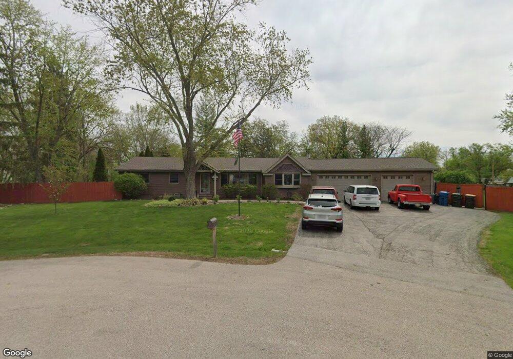
26W311 Bud Ct Wheaton, IL 60187
Northside-Wheaton NeighborhoodEstimated Value: $478,000 - $593,000
3
Beds
2
Baths
2,108
Sq Ft
$250/Sq Ft
Est. Value
About This Home
This home is located at 26W311 Bud Ct, Wheaton, IL 60187 and is currently estimated at $527,008, approximately $250 per square foot. 26W311 Bud Ct is a home located in DuPage County with nearby schools including Pleasant Hill Elementary School, Monroe Middle School, and Wheaton North High School.
Ownership History
Date
Name
Owned For
Owner Type
Purchase Details
Closed on
Aug 12, 1997
Sold by
Carter Raymond C and Carter Sally A
Bought by
Hethcoat Timothy S and Hethcoat Rebecca J
Current Estimated Value
Home Financials for this Owner
Home Financials are based on the most recent Mortgage that was taken out on this home.
Original Mortgage
$155,750
Interest Rate
7.63%
Mortgage Type
FHA
Create a Home Valuation Report for This Property
The Home Valuation Report is an in-depth analysis detailing your home's value as well as a comparison with similar homes in the area
Home Values in the Area
Average Home Value in this Area
Purchase History
| Date | Buyer | Sale Price | Title Company |
|---|---|---|---|
| Hethcoat Timothy S | $162,500 | -- |
Source: Public Records
Mortgage History
| Date | Status | Borrower | Loan Amount |
|---|---|---|---|
| Previous Owner | Hethcoat Timothy S | $155,750 |
Source: Public Records
Tax History Compared to Growth
Tax History
| Year | Tax Paid | Tax Assessment Tax Assessment Total Assessment is a certain percentage of the fair market value that is determined by local assessors to be the total taxable value of land and additions on the property. | Land | Improvement |
|---|---|---|---|---|
| 2024 | $9,792 | $164,307 | $49,866 | $114,441 |
| 2023 | $9,376 | $151,240 | $45,900 | $105,340 |
| 2022 | $9,129 | $142,920 | $43,370 | $99,550 |
| 2021 | $8,820 | $139,530 | $42,340 | $97,190 |
| 2020 | $8,776 | $138,230 | $41,950 | $96,280 |
| 2019 | $8,553 | $134,580 | $40,840 | $93,740 |
| 2018 | $8,099 | $126,630 | $38,480 | $88,150 |
| 2017 | $7,967 | $121,960 | $37,060 | $84,900 |
| 2016 | $7,859 | $117,090 | $35,580 | $81,510 |
| 2015 | $7,803 | $111,700 | $33,940 | $77,760 |
| 2014 | $5,238 | $99,920 | $19,980 | $79,940 |
| 2013 | $5,078 | $100,220 | $20,040 | $80,180 |
Source: Public Records
Map
Nearby Homes
- 26W185 Meadowview Ct
- 26W181 Grand Ave
- 1N100 Harriet St
- 0N642 Alta Ln
- S045 Pleasant Hill Rd
- S071 Leonard St
- 26W537 Barnes Ave
- 0N337 Herrick Dr
- 26W137 Prestwick Ln
- 27W277 Waterford Dr
- 1N153 Mission Ct
- 0N 634 Knollwood Dr
- 27W229 Providence Ln
- 26W130 Prestwick Ln
- 27W250 Birch St
- 0N632 Gables Blvd
- 0N105 Nepil Ave
- 26W278 Harrison Ave
- 0N010 Stanley St
- 0N510 Gary Ave
- 26W325 Bud Ct
- 26W320 Bud Ct
- 0N660 Delano St
- 0N650 Delano St
- 0N678 Delano St
- 26W341 Bud Ct
- 26W342 Bud Ct
- 0N706 Delano St
- 0N638 Delano St
- ON675 Delano St
- 26W320 Jerome Ave
- 0N647 Peter Rd
- 26W310 Jerome Ave
- 26W280 Jerome Ave
- 26W309 Marion Ave
- 26W340 Jerome Ave
- 0N718 Delano St
- 0N661 Delano St
- 0N727 Peter Rd
- 0N675 Delano St