27 2nd St Westport, MA 02790
South Westport NeighborhoodEstimated Value: $228,000 - $583,000
3
Beds
--
Bath
860
Sq Ft
$552/Sq Ft
Est. Value
About This Home
This home is located at 27 2nd St, Westport, MA 02790 and is currently estimated at $474,446, approximately $551 per square foot. 27 2nd St is a home located in Bristol County with nearby schools including Alice A. Macomber Primary School, Westport Elementary School, and Westport Middle-High School.
Ownership History
Date
Name
Owned For
Owner Type
Purchase Details
Closed on
May 22, 2025
Sold by
Small Matthew T
Bought by
Demello Tyler D
Current Estimated Value
Home Financials for this Owner
Home Financials are based on the most recent Mortgage that was taken out on this home.
Original Mortgage
$1
Outstanding Balance
$1
Interest Rate
6.62%
Mortgage Type
Purchase Money Mortgage
Estimated Equity
$474,445
Purchase Details
Closed on
Jul 3, 1963
Bought by
Clayton Ruth and Bradley Mary
Create a Home Valuation Report for This Property
The Home Valuation Report is an in-depth analysis detailing your home's value as well as a comparison with similar homes in the area
Home Values in the Area
Average Home Value in this Area
Purchase History
| Date | Buyer | Sale Price | Title Company |
|---|---|---|---|
| Demello Tyler D | $220,000 | None Available | |
| Demello Tyler D | $220,000 | None Available | |
| Demello Tyler D | $220,000 | None Available | |
| Clayton Ruth | -- | -- |
Source: Public Records
Mortgage History
| Date | Status | Borrower | Loan Amount |
|---|---|---|---|
| Open | Demello Tyler D | $1 | |
| Closed | Demello Tyler D | $1 |
Source: Public Records
Tax History Compared to Growth
Tax History
| Year | Tax Paid | Tax Assessment Tax Assessment Total Assessment is a certain percentage of the fair market value that is determined by local assessors to be the total taxable value of land and additions on the property. | Land | Improvement |
|---|---|---|---|---|
| 2025 | $3,098 | $415,900 | $339,900 | $76,000 |
| 2024 | $2,993 | $387,200 | $315,000 | $72,200 |
| 2023 | $2,490 | $305,200 | $240,000 | $65,200 |
| 2022 | $2,538 | $299,300 | $240,000 | $59,300 |
| 2021 | $2,389 | $277,100 | $218,100 | $59,000 |
| 2020 | $2,222 | $263,600 | $209,400 | $54,200 |
| 2019 | $2,048 | $247,600 | $193,700 | $53,900 |
| 2018 | $1,672 | $204,700 | $146,700 | $58,000 |
| 2017 | $1,617 | $202,900 | $146,700 | $56,200 |
| 2016 | $1,616 | $204,300 | $146,700 | $57,600 |
| 2015 | $1,586 | $200,000 | $150,000 | $50,000 |
Source: Public Records
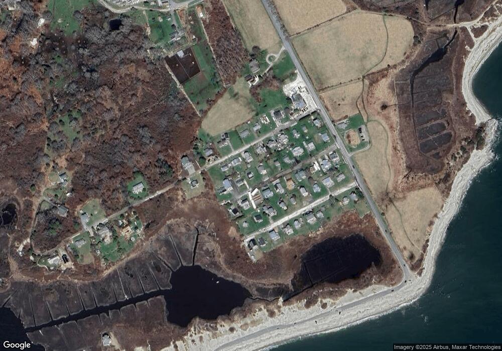
Map
Nearby Homes
- 238-242 E Beach Rd
- 0 Reed Rd (Ss)
- Lot 2 Horseneck Rd
- 1702 Drift Rd
- 1702J Drift Rd
- 1881 Main Rd
- Lot 2E Horseneck Rd
- 99 Sylvia Ln
- 1749 Main Rd
- 1580 Main Rd
- 158 Little River Rd
- Lot 1 Rafael Rd
- 61 Pardon Hill Rd
- 2 Slades Farm Ln
- 12 Meadow Shores Rd
- 24 White Alder Way
- 1346 Main Rd Unit B
- 304 Brayton Point Rd
- 19 Seabury Ln
- 482 Smith Neck Rd