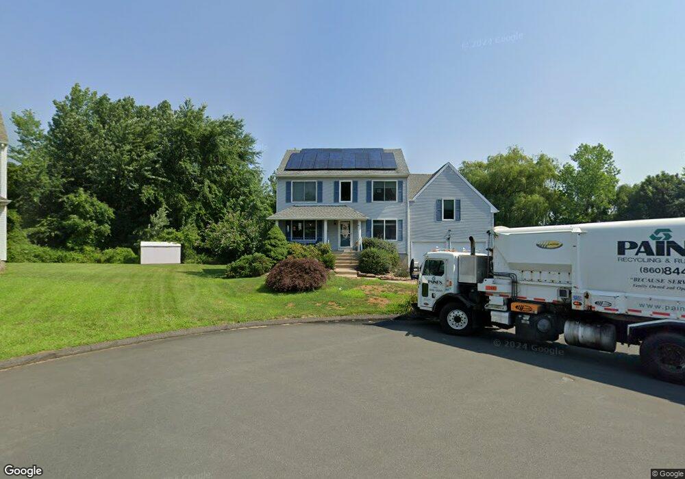
27 Adams Ln Wethersfield, CT 06109
Estimated Value: $478,000 - $520,132
4
Beds
3
Baths
1,961
Sq Ft
$255/Sq Ft
Est. Value
About This Home
This home is located at 27 Adams Ln, Wethersfield, CT 06109 and is currently estimated at $499,783, approximately $254 per square foot. 27 Adams Ln is a home located in Hartford County with nearby schools including Alfred W. Hanmer School, Silas Deane Middle School, and Wethersfield High School.
Ownership History
Date
Name
Owned For
Owner Type
Purchase Details
Closed on
Jan 21, 2025
Sold by
Michaels Bruce A and Michaels Judith R
Bought by
Judith Michaels Ft and Michaels
Current Estimated Value
Purchase Details
Closed on
Sep 25, 1995
Sold by
Granite Homes Inc
Bought by
Michaels Bruce A and Michaels Judith
Create a Home Valuation Report for This Property
The Home Valuation Report is an in-depth analysis detailing your home's value as well as a comparison with similar homes in the area
Home Values in the Area
Average Home Value in this Area
Purchase History
| Date | Buyer | Sale Price | Title Company |
|---|---|---|---|
| Judith Michaels Ft | -- | None Available | |
| Judith Michaels Ft | -- | None Available | |
| Michaels Bruce A | $169,700 | -- | |
| Michaels Bruce A | $169,700 | -- |
Source: Public Records
Mortgage History
| Date | Status | Borrower | Loan Amount |
|---|---|---|---|
| Previous Owner | Michaels Bruce A | $253,000 | |
| Previous Owner | Michaels Bruce A | $285,408 | |
| Previous Owner | Michaels Bruce A | $241,500 |
Source: Public Records
Tax History
| Year | Tax Paid | Tax Assessment Tax Assessment Total Assessment is a certain percentage of the fair market value that is determined by local assessors to be the total taxable value of land and additions on the property. | Land | Improvement |
|---|---|---|---|---|
| 2025 | $12,587 | $305,370 | $84,250 | $221,120 |
| 2024 | $8,932 | $206,660 | $63,630 | $143,030 |
| 2023 | $8,634 | $206,660 | $63,630 | $143,030 |
| 2022 | $8,490 | $206,660 | $63,630 | $143,030 |
| 2021 | $8,405 | $206,660 | $63,630 | $143,030 |
| 2020 | $8,328 | $204,660 | $63,630 | $141,030 |
| 2019 | $8,242 | $202,310 | $63,630 | $138,680 |
| 2018 | $8,295 | $203,400 | $65,100 | $138,300 |
| 2017 | $8,089 | $203,400 | $65,100 | $138,300 |
| 2016 | $7,839 | $203,400 | $65,100 | $138,300 |
| 2015 | $7,768 | $203,400 | $65,100 | $138,300 |
| 2014 | $7,473 | $203,400 | $65,100 | $138,300 |
Source: Public Records
Map
Nearby Homes
- 195 Middletown Ave
- 119 Coleman Rd
- 25 Sutton Rd
- 108 Chamberlain Rd
- 35 Stillwold Dr
- 38 Wheeler Rd
- 13 Robbins Ln Unit B
- 72 Concord Dr
- 50 Concord Dr Unit 50
- 1610 Silas Deane Hwy
- 89 Merriman Rd
- 91 Somerset St
- 87 Somerset St
- 137 Dale Rd
- 22 Winesap Cir Unit 22
- 3 Colonial Dr Unit C
- 455 Brimfield Rd
- 59 Chapin Ave
- 2220 Harbor View Dr
- 116 Wells Farm Dr
- 21 Adams Ln
- 28 Adams Ln
- 15 Adams Ln
- 24 Adams Ln
- 20 Adams Ln
- 9 Adams Ln
- 352 Middletown Ave
- 14 Adams Ln
- 336 Middletown Ave Unit 338
- 358 Middletown Ave
- 10 Adams Ln
- 362 Middletown Ave
- 332 Middletown Ave
- 382 Middletown Ave
- 342 Middletown Ave
- 366 Middletown Ave
- 336 Middletown Ave
- 371 Middletown Ave
- 386 Middletown Ave Unit 388
- 326 Middletown Ave Unit 328
Your Personal Tour Guide
Ask me questions while you tour the home.