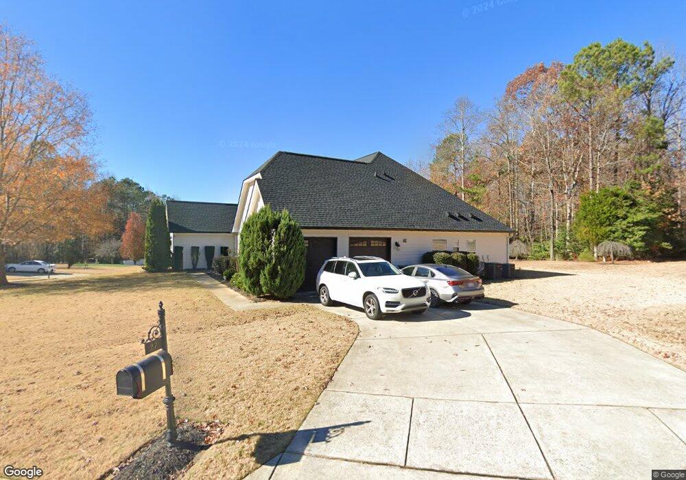
27 Adams Point Dr Garner, NC 27529
Cleveland NeighborhoodEstimated Value: $519,113 - $559,000
4
Beds
4
Baths
3,038
Sq Ft
$175/Sq Ft
Est. Value
About This Home
This home is located at 27 Adams Point Dr, Garner, NC 27529 and is currently estimated at $531,778, approximately $175 per square foot. 27 Adams Point Dr is a home located in Johnston County with nearby schools including West View Elementary School, Cleveland Middle School, and West Johnston High School.
Ownership History
Date
Name
Owned For
Owner Type
Purchase Details
Closed on
Jul 31, 2014
Sold by
Grappler Investments Llc
Bought by
Lanza Martha Verastegui and Lanza Brian
Current Estimated Value
Home Financials for this Owner
Home Financials are based on the most recent Mortgage that was taken out on this home.
Original Mortgage
$260,482
Outstanding Balance
$198,987
Interest Rate
4.16%
Mortgage Type
VA
Estimated Equity
$332,791
Purchase Details
Closed on
Nov 1, 2007
Sold by
Southpoint Homes Llc
Bought by
Bowen David Scott and Bowen Michelle L
Home Financials for this Owner
Home Financials are based on the most recent Mortgage that was taken out on this home.
Original Mortgage
$286,525
Interest Rate
6.36%
Mortgage Type
Purchase Money Mortgage
Create a Home Valuation Report for This Property
The Home Valuation Report is an in-depth analysis detailing your home's value as well as a comparison with similar homes in the area
Home Values in the Area
Average Home Value in this Area
Purchase History
| Date | Buyer | Sale Price | Title Company |
|---|---|---|---|
| Lanza Martha Verastegui | $255,000 | None Available | |
| Bowen David Scott | $295,500 | None Available |
Source: Public Records
Mortgage History
| Date | Status | Borrower | Loan Amount |
|---|---|---|---|
| Open | Lanza Martha Verastegui | $260,482 | |
| Previous Owner | Bowen David Scott | $286,525 |
Source: Public Records
Tax History Compared to Growth
Tax History
| Year | Tax Paid | Tax Assessment Tax Assessment Total Assessment is a certain percentage of the fair market value that is determined by local assessors to be the total taxable value of land and additions on the property. | Land | Improvement |
|---|---|---|---|---|
| 2025 | $3,111 | $489,890 | $70,000 | $419,890 |
| 2024 | $2,521 | $311,180 | $48,000 | $263,180 |
| 2023 | $2,435 | $311,180 | $48,000 | $263,180 |
| 2022 | $2,559 | $311,180 | $48,000 | $263,180 |
| 2021 | $2,559 | $311,180 | $48,000 | $263,180 |
| 2020 | $2,591 | $311,180 | $48,000 | $263,180 |
| 2019 | $2,591 | $311,180 | $48,000 | $263,180 |
| 2018 | $2,471 | $289,800 | $44,000 | $245,800 |
| 2017 | $2,471 | $289,800 | $44,000 | $245,800 |
| 2016 | $2,471 | $289,800 | $44,000 | $245,800 |
| 2015 | -- | $289,800 | $44,000 | $245,800 |
| 2014 | -- | $289,800 | $44,000 | $245,800 |
Source: Public Records
Map
Nearby Homes
- 75 Fawn Hill Ct
- 181 Fawn Hill Ct
- 413 Fieldtrial Cir
- Roanoke Plan at Brant Station
- Fontana Plan at Brant Station
- Avenel II Plan at Brant Station
- 111 Artic Cir
- 325 Airedale Trail
- 115 Unique Place
- 39 Beau Dr
- 146 Shadowbark Dr
- 394 Airedale Trail
- 386 Artic Cir
- 291 Artic Cir
- 1037 Olive Dr
- 165 Rynal Dr
- 58 Larkwood Ln
- 50 Linden Ct
- 51 Makers Way
- 36 Labradoodle Ct
- 65 Adams Point Dr
- 112 Fawn Hill Ct
- 22 Adams Point Dr
- 99 Fawn Hill Ct
- 40 Adams Point Dr
- 83 Adams Point Dr
- 58 Adams Point Dr
- 40 Morning Mist Dr
- 126 Fawn Hill Ct
- 23 Morning Mist Dr
- 129 Fawn Hill Ct
- 82 Adams Point Dr
- 99 Adams Point Dr
- 43 Morning Mist Dr
- 142 Fawn Hill Ct
- 59 Morning Mist Dr
- 161 Fawn Hill Ct
- 90 Morning Mist Dr
- 158 Fawn Hill Ct
- 75 Morning Mist Dr