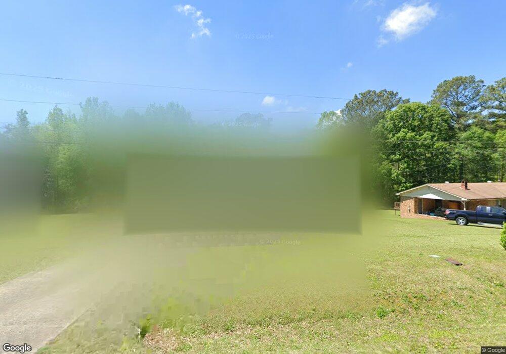
27 Airport Rd Cedartown, GA 30125
Estimated Value: $137,413 - $213,000
3
Beds
1
Bath
1,176
Sq Ft
$138/Sq Ft
Est. Value
About This Home
This home is located at 27 Airport Rd, Cedartown, GA 30125 and is currently estimated at $162,353, approximately $138 per square foot. 27 Airport Rd is a home located in Polk County with nearby schools including Rockmart Middle School.
Ownership History
Date
Name
Owned For
Owner Type
Purchase Details
Closed on
Jan 29, 2021
Sold by
Barber Paul
Bought by
Davis Mildred Regina
Current Estimated Value
Home Financials for this Owner
Home Financials are based on the most recent Mortgage that was taken out on this home.
Original Mortgage
$70,000
Outstanding Balance
$40,162
Interest Rate
2.6%
Mortgage Type
New Conventional
Estimated Equity
$122,191
Purchase Details
Closed on
Feb 4, 1993
Sold by
White Henry W
Bought by
Barber Paul
Purchase Details
Closed on
Sep 2, 1981
Bought by
White Henry W
Create a Home Valuation Report for This Property
The Home Valuation Report is an in-depth analysis detailing your home's value as well as a comparison with similar homes in the area
Home Values in the Area
Average Home Value in this Area
Purchase History
| Date | Buyer | Sale Price | Title Company |
|---|---|---|---|
| Davis Mildred Regina | $70,000 | -- | |
| Barber Paul | $15,000 | -- | |
| White Henry W | -- | -- |
Source: Public Records
Mortgage History
| Date | Status | Borrower | Loan Amount |
|---|---|---|---|
| Open | Davis Mildred Regina | $70,000 |
Source: Public Records
Tax History Compared to Growth
Tax History
| Year | Tax Paid | Tax Assessment Tax Assessment Total Assessment is a certain percentage of the fair market value that is determined by local assessors to be the total taxable value of land and additions on the property. | Land | Improvement |
|---|---|---|---|---|
| 2024 | $1,018 | $50,708 | $2,668 | $48,040 |
| 2023 | $720 | $32,348 | $2,668 | $29,680 |
| 2022 | $638 | $26,874 | $1,778 | $25,096 |
| 2021 | $646 | $26,874 | $1,778 | $25,096 |
| 2020 | $647 | $26,874 | $1,778 | $25,096 |
| 2019 | $585 | $21,797 | $1,778 | $20,019 |
| 2018 | $583 | $21,157 | $1,778 | $19,379 |
| 2017 | $576 | $21,157 | $1,778 | $19,379 |
| 2016 | $560 | $20,579 | $1,200 | $19,379 |
| 2015 | $567 | $20,758 | $1,200 | $19,558 |
| 2014 | $571 | $20,758 | $1,200 | $19,558 |
Source: Public Records
Map
Nearby Homes
- 0 Bethlehem Rd Unit 10622470
- 2020 Old Cedartown Rd
- 3825 Rockmart Hwy
- 1907 Old Cedartown Rd
- 2056 Bellview Rd
- 0 Pine Mountain Rd Unit 7662185
- 482 Pine Mountain Rd
- 0 Pine Mountain Rd Unit 10478395
- 0 Pine Mountain Rd Unit 7540784
- 1157 Stringer Rd
- 394 Knight Rd
- 93 Clay Rd
- 65 Wheeler Rd
- 1039 Old Cedartown Rd
- 600 Grady Rd
- 1211 Bellview Rd
- 440 Mcbride Rd
- 0 Richard Pullen Rd Unit 7626794
- 0 Richard Pullen Rd Unit 10577442
- 0 Benefield Rd Unit 10405501
- 37 Airport Rd
- 49 Airport Rd
- 0 Airport Loop Rd Rd
- 0 Airport Rd
- 0 Bethlehem Rd
- 0 Airport Rd Unit 7626414
- 0 Airport Rd Unit 7512955
- 0 Bethlehem Rd Unit 8785196
- 0 Airport Rd Unit 8448069
- 0 Airport Rd Unit 8314127
- 0 Airport Rd Unit 7552643
- 0 Bethlehem Rd Unit 7174284
- 0 Airport Rd Unit 7040871
- 0 Airport Rd Unit 8935288
- 0 Airport Rd Unit 8106182
- 0 Bethlehem Rd Unit 8110888
- 0 Airport Rd Unit 8275788
- 0 Airport Rd Unit 8552933
- 0 Bethlehem Rd Unit 8350960
- 0 Bethlehem Rd Unit 7094730