27 Alan Ln Mine Hill, NJ 07803
Estimated Value: $463,228 - $547,000
--
Bed
--
Bath
1,684
Sq Ft
$308/Sq Ft
Est. Value
About This Home
This home is located at 27 Alan Ln, Mine Hill, NJ 07803 and is currently estimated at $518,807, approximately $308 per square foot. 27 Alan Ln is a home located in Morris County with nearby schools including Canfield Avenue School, Gottesman RTW Academy, and St. Therese School.
Ownership History
Date
Name
Owned For
Owner Type
Purchase Details
Closed on
Jun 3, 1998
Sold by
Quintas John R and Quintas Catherine M
Bought by
Lindstedt Michael and Lindstedt Amy
Current Estimated Value
Home Financials for this Owner
Home Financials are based on the most recent Mortgage that was taken out on this home.
Original Mortgage
$141,000
Outstanding Balance
$28,355
Interest Rate
7.11%
Estimated Equity
$490,452
Create a Home Valuation Report for This Property
The Home Valuation Report is an in-depth analysis detailing your home's value as well as a comparison with similar homes in the area
Home Values in the Area
Average Home Value in this Area
Purchase History
| Date | Buyer | Sale Price | Title Company |
|---|---|---|---|
| Lindstedt Michael | $157,000 | -- |
Source: Public Records
Mortgage History
| Date | Status | Borrower | Loan Amount |
|---|---|---|---|
| Open | Lindstedt Michael | $141,000 |
Source: Public Records
Tax History Compared to Growth
Tax History
| Year | Tax Paid | Tax Assessment Tax Assessment Total Assessment is a certain percentage of the fair market value that is determined by local assessors to be the total taxable value of land and additions on the property. | Land | Improvement |
|---|---|---|---|---|
| 2025 | $8,526 | $299,200 | $141,400 | $157,800 |
| 2024 | $8,509 | $290,200 | $141,400 | $148,800 |
| 2023 | $8,509 | $290,200 | $141,400 | $148,800 |
| 2022 | $8,146 | $290,200 | $141,400 | $148,800 |
| 2021 | $8,146 | $290,200 | $141,400 | $148,800 |
| 2020 | $7,995 | $290,200 | $141,400 | $148,800 |
| 2019 | $7,905 | $290,200 | $141,400 | $148,800 |
| 2018 | $7,835 | $290,200 | $141,400 | $148,800 |
| 2017 | $7,687 | $290,200 | $141,400 | $148,800 |
| 2016 | $7,328 | $290,200 | $141,400 | $148,800 |
| 2015 | $7,484 | $290,200 | $141,400 | $148,800 |
| 2014 | $7,470 | $290,200 | $141,400 | $148,800 |
Source: Public Records
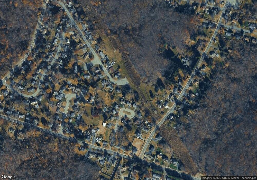
Map
Nearby Homes
- 181 Randolph Ave
- 12 Xenia Ct
- 223 W Randolph Ave
- 400 -37 E Randolph Ave Unit 37
- 1 Dogwood Trail
- 16 Dogwood Trail
- 27 George St
- 66 Clark St
- 50 Oakwood Ave
- 52 S 2nd Ave
- 15 Janet Dr
- 39 Edith Place
- 137 Hurd St
- 0 U S 46
- 12 S 2nd Ave
- 42 5th Ave
- 00 5th Ave
- 400 Quaker Church Rd
- 62 U S 46
- Noah Plan at Oaks at Randolph