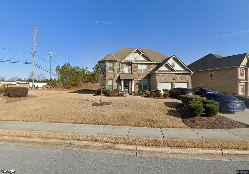
27 Allgood Trace Unit 1 Acworth, GA 30101
Cedarcrest NeighborhoodEstimated Value: $497,669 - $624,000
5
Beds
4
Baths
3,551
Sq Ft
$156/Sq Ft
Est. Value
About This Home
This home is located at 27 Allgood Trace Unit 1, Acworth, GA 30101 and is currently estimated at $553,667, approximately $155 per square foot. 27 Allgood Trace Unit 1 is a home located in Paulding County with nearby schools including Floyd L. Shelton Elementary School at Crossroad, Sammy Mcclure Sr. Middle School, and North Paulding High School.
Ownership History
Date
Name
Owned For
Owner Type
Purchase Details
Closed on
Feb 23, 2018
Sold by
Century Communities Of Geo
Bought by
Hearn Fedia Lorraine
Current Estimated Value
Home Financials for this Owner
Home Financials are based on the most recent Mortgage that was taken out on this home.
Original Mortgage
$330,575
Outstanding Balance
$283,209
Interest Rate
4.37%
Mortgage Type
FHA
Estimated Equity
$270,458
Create a Home Valuation Report for This Property
The Home Valuation Report is an in-depth analysis detailing your home's value as well as a comparison with similar homes in the area
Home Values in the Area
Average Home Value in this Area
Purchase History
| Date | Buyer | Sale Price | Title Company |
|---|---|---|---|
| Hearn Fedia Lorraine | $336,674 | -- |
Source: Public Records
Mortgage History
| Date | Status | Borrower | Loan Amount |
|---|---|---|---|
| Open | Hearn Fedia Lorraine | $330,575 |
Source: Public Records
Tax History Compared to Growth
Tax History
| Year | Tax Paid | Tax Assessment Tax Assessment Total Assessment is a certain percentage of the fair market value that is determined by local assessors to be the total taxable value of land and additions on the property. | Land | Improvement |
|---|---|---|---|---|
| 2024 | $4,658 | $190,480 | $18,000 | $172,480 |
| 2023 | $5,482 | $212,800 | $18,000 | $194,800 |
| 2022 | $4,220 | $163,760 | $18,000 | $145,760 |
| 2021 | $4,137 | $144,240 | $18,000 | $126,240 |
| 2020 | $3,832 | $130,880 | $18,000 | $112,880 |
| 2019 | $3,775 | $127,160 | $18,000 | $109,160 |
| 2018 | $3,586 | $119,040 | $16,000 | $103,040 |
| 2017 | $3,349 | $109,640 | $16,000 | $93,640 |
| 2016 | $434 | $14,360 | $14,360 | $0 |
| 2015 | $406 | $13,200 | $13,200 | $0 |
Source: Public Records
Map
Nearby Homes
- 9 Little Ct
- 148 Carlton Ct
- 262 Lilyfield Ln
- 17 Carlton Ct
- 103 Gray Trail
- 26 Lilyfield Ln
- 266 Cedar Hill Dr Unit 79
- 266 Cedar Hill Dr
- 1136 Flagstone Way
- 217 Hydrangea Ct
- 217 Hydrangea Ct Unit 30
- 35 Primrose Dr
- 35 Primrose Dr Unit 60
- 522 Lincolnwood Ln
- 207 Hydrangea Ct
- 27 Rosebud Ln Unit 37
- 27 Rosebud Ln
- Primrose Plan at Villages at Cedar Hill
- Orchard Plan at Villages at Cedar Hill
- Waterford Plan at Villages at Cedar Hill
- 27 Allgood Trace
- 27 Allgood Trace Unit 1
- 27 Allgood Trace
- 51 Allgood Trace Unit 2
- 51 Allgood Trace
- 63 Allgood Trace Unit 3
- 63 Allgood Trace
- 16 Allgood Trace Unit 260
- 16 Allgood Trace
- 9 Little Ct Unit 4
- 9 Little Unit 4
- 9 Little
- 33 Denton Way
- 79 Allgood Trace Unit 4
- 79 Allgood Trace
- 64 Allgood Trace
- 20 Little Ct Unit 4
- 20 Little Ct Unit 257
- 20 Little Ct
- 21 Little Ct Unit 257