27 Alpine Rd Wayland, MA 01778
Estimated Value: $1,118,000 - $1,216,000
2
Beds
3
Baths
2,186
Sq Ft
$531/Sq Ft
Est. Value
About This Home
This home is located at 27 Alpine Rd, Wayland, MA 01778 and is currently estimated at $1,161,104, approximately $531 per square foot. 27 Alpine Rd is a home located in Middlesex County with nearby schools including Wayland High School, Corwin-Russell School At Broccoli Hall, and Willow Hill School.
Ownership History
Date
Name
Owned For
Owner Type
Purchase Details
Closed on
Jun 26, 2007
Sold by
Johnson Steven G and Thatcher Suzanne L
Bought by
Thatcher Suzanne L
Current Estimated Value
Create a Home Valuation Report for This Property
The Home Valuation Report is an in-depth analysis detailing your home's value as well as a comparison with similar homes in the area
Home Values in the Area
Average Home Value in this Area
Purchase History
| Date | Buyer | Sale Price | Title Company |
|---|---|---|---|
| Thatcher Suzanne L | -- | -- |
Source: Public Records
Tax History
| Year | Tax Paid | Tax Assessment Tax Assessment Total Assessment is a certain percentage of the fair market value that is determined by local assessors to be the total taxable value of land and additions on the property. | Land | Improvement |
|---|---|---|---|---|
| 2025 | $16,657 | $1,065,700 | $654,900 | $410,800 |
| 2024 | $15,778 | $1,016,600 | $624,200 | $392,400 |
| 2023 | $15,038 | $903,200 | $572,000 | $331,200 |
| 2022 | $14,520 | $791,300 | $482,600 | $308,700 |
| 2021 | $8,777 | $752,300 | $443,600 | $308,700 |
| 2020 | $13,361 | $752,300 | $443,600 | $308,700 |
| 2019 | $0 | $726,300 | $425,000 | $301,300 |
| 2018 | $5,525 | $699,100 | $425,000 | $274,100 |
| 2017 | $12,156 | $670,100 | $404,500 | $265,600 |
| 2016 | $11,311 | $652,300 | $397,300 | $255,000 |
| 2015 | $11,236 | $611,000 | $397,300 | $213,700 |
Source: Public Records
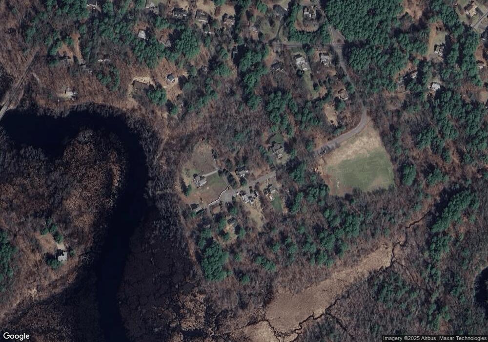
Map
Nearby Homes
- 55 Sherman's Bridge Rd
- 291 Concord Rd
- 16 Hampshire Rd
- 127 Glezen Ln
- 4 Peartree Ln
- 141 Chestnut Cir Unit 141
- 93 Old Sudbury Rd
- 101 Draper Rd
- 93 Draper Rd
- 32 Highland Cir
- 1B Quaboag Valley Co-Op St
- Lot 5 Sailaway Ln
- Lot 4 Sailaway Ln
- 2 Betts Way
- 8 Mina Way
- Lot 9 Sailaway Ln
- 35 Mt Alworth Rd
- 4 Betts Way
- 37 Orchard Ln
- 17 Glezen Ln
- 26 Alpine Rd
- 28 Alpine Rd
- 23 Alpine Rd
- 17 Hereford Rd
- 23 Hereford Rd
- 36 Alpine Rd
- 35 Alpine Rd
- 48 Sherman Bridge Rd
- 40 Sherman Bridge Rd
- 44 Sherman Bridge Rd
- 46 Sherman Bridge Rd
- 36 Sherman Bridge Rd
- 9 Alpine Rd
- 34 Sherman Bridge Rd
- 50 Sherman Bridge Rd
- 60 Sherman Bridge Rd
- 52 Sherman Bridge Rd
- 43 Sherman Bridge Rd
- 43 Sherman Bridge Rd Unit 43
- 45 Sherman's Bridge Rd
Your Personal Tour Guide
Ask me questions while you tour the home.