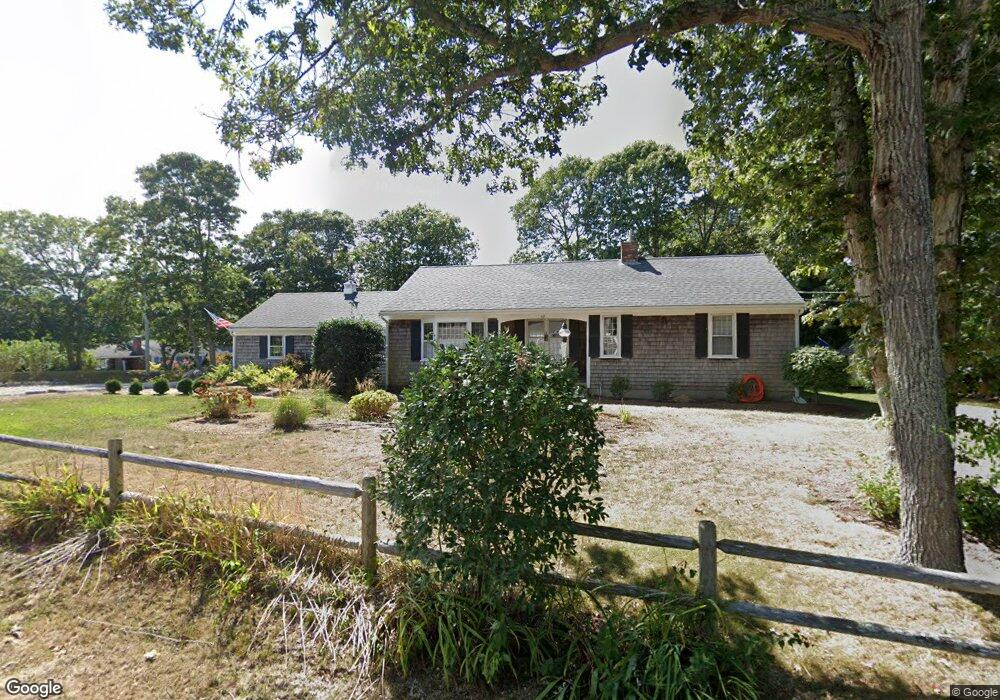
27 Apache Dr Yarmouth Port, MA 02675
Yarmouth Port NeighborhoodEstimated Value: $539,000 - $634,000
2
Beds
2
Baths
1,256
Sq Ft
$465/Sq Ft
Est. Value
About This Home
This home is located at 27 Apache Dr, Yarmouth Port, MA 02675 and is currently estimated at $584,333, approximately $465 per square foot. 27 Apache Dr is a home located in Barnstable County with nearby schools including Dennis-Yarmouth Regional High School and St. Pius X. School.
Ownership History
Date
Name
Owned For
Owner Type
Purchase Details
Closed on
Jul 31, 2012
Sold by
Brady-Doyle Shelley and Brady-Travers Patti
Bought by
Brady Christopher W and Brady Jocelyn H
Current Estimated Value
Home Financials for this Owner
Home Financials are based on the most recent Mortgage that was taken out on this home.
Original Mortgage
$112,500
Outstanding Balance
$78,191
Interest Rate
3.74%
Mortgage Type
New Conventional
Estimated Equity
$506,142
Purchase Details
Closed on
Jan 11, 2012
Sold by
Brady Linda
Bought by
Brady-Doyle Shelley and Brady-Travers Patti
Purchase Details
Closed on
Nov 4, 1991
Sold by
Wiley Wilda J
Bought by
Brady Linda
Home Financials for this Owner
Home Financials are based on the most recent Mortgage that was taken out on this home.
Original Mortgage
$46,000
Interest Rate
8.9%
Mortgage Type
Purchase Money Mortgage
Create a Home Valuation Report for This Property
The Home Valuation Report is an in-depth analysis detailing your home's value as well as a comparison with similar homes in the area
Home Values in the Area
Average Home Value in this Area
Purchase History
| Date | Buyer | Sale Price | Title Company |
|---|---|---|---|
| Brady Christopher W | $210,000 | -- | |
| Brady-Doyle Shelley | -- | -- | |
| Brady Linda | $120,000 | -- |
Source: Public Records
Mortgage History
| Date | Status | Borrower | Loan Amount |
|---|---|---|---|
| Open | Brady Christopher W | $112,500 | |
| Previous Owner | Brady Linda | $100,000 | |
| Previous Owner | Brady Linda | $46,000 | |
| Previous Owner | Brady Linda | $46,000 |
Source: Public Records
Tax History Compared to Growth
Tax History
| Year | Tax Paid | Tax Assessment Tax Assessment Total Assessment is a certain percentage of the fair market value that is determined by local assessors to be the total taxable value of land and additions on the property. | Land | Improvement |
|---|---|---|---|---|
| 2025 | $3,671 | $518,500 | $143,700 | $374,800 |
| 2024 | $3,658 | $495,600 | $151,400 | $344,200 |
| 2023 | $3,576 | $440,900 | $134,900 | $306,000 |
| 2022 | $3,347 | $364,600 | $121,400 | $243,200 |
| 2021 | $3,128 | $327,200 | $121,400 | $205,800 |
| 2020 | $3,048 | $304,800 | $121,400 | $183,400 |
| 2019 | $2,706 | $267,900 | $121,400 | $146,500 |
| 2018 | $2,525 | $245,400 | $98,900 | $146,500 |
| 2017 | $2,459 | $245,400 | $98,900 | $146,500 |
| 2016 | $2,359 | $236,400 | $89,900 | $146,500 |
| 2015 | $2,243 | $223,400 | $89,900 | $133,500 |
Source: Public Records
Map
Nearby Homes
- 44 Stratford Ln
- 6 Nimble Hill Dr
- 800 Route 6a
- 800 Route 6a
- 43 Canterbury Rd
- 64 Kates Path
- 17 Kates Path Unit A
- 228 Kates Path
- 4208 Heatherwood
- 17 Nottingham Dr
- 59 Route 6a Unit 29-4
- 19 John Halls Cartpath Village Unit E
- 19 John Hall Cartway Unit E
- 42 John Hall Cartway Unit 42
- 50 John Hall Cartway
- 50 John Hall Cartway Unit 50
- 21 Boxwood Cir
- 158 Kates Path
- 111 Merchant Ave
- 28 Oak Glen