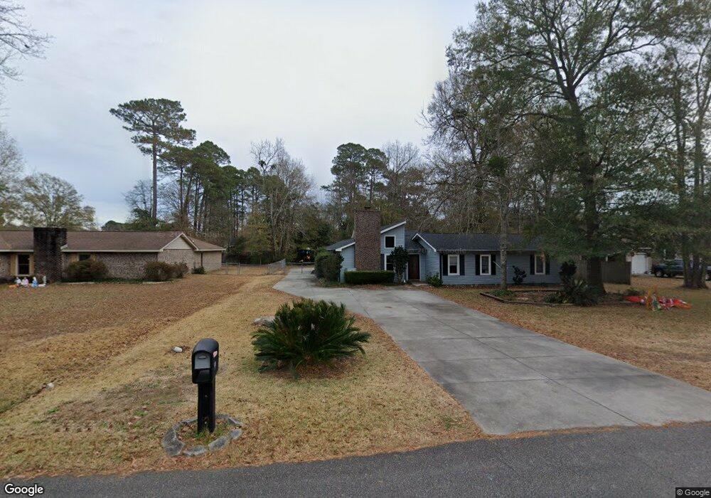
27 Apache Trail Unit MB Myrtle Beach, SC 29588
Estimated Value: $316,000 - $342,850
4
Beds
3
Baths
1,956
Sq Ft
$167/Sq Ft
Est. Value
About This Home
This home is located at 27 Apache Trail Unit MB, Myrtle Beach, SC 29588 and is currently estimated at $326,963, approximately $167 per square foot. 27 Apache Trail Unit MB is a home located in Horry County with nearby schools including Socastee Elementary School, Forestbrook Middle School, and Socastee High School.
Ownership History
Date
Name
Owned For
Owner Type
Purchase Details
Closed on
Nov 24, 2015
Sold by
Schmidt Kayla
Bought by
Parker Clark B and Parker Marcia W
Current Estimated Value
Purchase Details
Closed on
Jul 28, 2010
Sold by
Schmidt David Edward
Bought by
Schmidt Kayla
Purchase Details
Closed on
Apr 8, 2003
Sold by
Cook James M and Cook Tina
Bought by
The Bank Of New York
Create a Home Valuation Report for This Property
The Home Valuation Report is an in-depth analysis detailing your home's value as well as a comparison with similar homes in the area
Home Values in the Area
Average Home Value in this Area
Purchase History
| Date | Buyer | Sale Price | Title Company |
|---|---|---|---|
| Parker Clark B | $140,000 | -- | |
| Schmidt Kayla | -- | -- | |
| The Bank Of New York | $1,000 | -- |
Source: Public Records
Tax History
| Year | Tax Paid | Tax Assessment Tax Assessment Total Assessment is a certain percentage of the fair market value that is determined by local assessors to be the total taxable value of land and additions on the property. | Land | Improvement |
|---|---|---|---|---|
| 2025 | $557 | $0 | $0 | $0 |
| 2024 | $557 | $19,999 | $6,144 | $13,855 |
| 2023 | $557 | $6,163 | $1,158 | $5,005 |
| 2021 | $483 | $10,246 | $1,738 | $8,508 |
| 2020 | $580 | $10,246 | $1,738 | $8,508 |
| 2019 | $580 | $10,246 | $1,738 | $8,508 |
| 2018 | $0 | $8,039 | $1,691 | $6,348 |
| 2017 | $510 | $8,039 | $1,691 | $6,348 |
| 2016 | -- | $8,039 | $1,691 | $6,348 |
| 2015 | $1,754 | $8,039 | $1,691 | $6,348 |
| 2014 | $1,696 | $8,039 | $1,691 | $6,348 |
Source: Public Records
Map
Nearby Homes
- 27 Plantation Rd
- 2 Sioux Trail
- 71 Plantation Rd
- 4 Plantation Rd
- 29 Cheyenne Rd Unit MB
- 339 Burchwood Ln
- 5567 Rosewood Dr
- 218 Rice Mill Dr
- 303 Clear Creek Cir
- 160 Intracoastal Village Ct
- 219 Burchwood Ln
- 238 Burchwood Ln
- 205 Stonebrook Dr
- 5730 Highway 707 Unit Lot 58
- 630 Glen Haven Dr
- 209 Stonebrook Dr
- 4625 Boxwood Dr
- 106 Sly Fox Trail
- 424 Wallingford Cir
- 204 Gray Fox Trail
- 45 Plantation Rd
- 47 Plantation Rd
- 29 Apache Trail Unit Tract 1, 2 & 3
- 29 Apache Trail
- 43 Plantation Rd
- 49 Plantation Rd
- 64 Plantation Rd
- 62 Plantation Rd
- 66 Plantation Rd
- 60 Plantation Rd
- 20 Shawnee Trail
- 51 Plantation Rd
- 30 Apache Trail
- 68 Plantation Rd
- 39 Plantation Rd
- 25 Apache Trail
- 18 Shawnee Trail
- 58 Plantation Rd
- 56 Plantation Rd
- 28 Apache Trail
Your Personal Tour Guide
Ask me questions while you tour the home.