27 Apple Ln Dawson, GA 39842
Estimated Value: $66,000 - $103,000
3
Beds
1
Bath
1,296
Sq Ft
$61/Sq Ft
Est. Value
About This Home
This home is located at 27 Apple Ln, Dawson, GA 39842 and is currently estimated at $79,029, approximately $60 per square foot. 27 Apple Ln is a home located in Terrell County with nearby schools including Cooper-Carver Elementary School, Terrell Middle School, and Terrell High School.
Ownership History
Date
Name
Owned For
Owner Type
Purchase Details
Closed on
Feb 6, 2024
Sold by
Johnson Kelvin
Bought by
Demouy Patsy Anne
Current Estimated Value
Purchase Details
Closed on
Jun 6, 2022
Sold by
Bank Of Dawson
Bought by
Johnson Kelvin
Home Financials for this Owner
Home Financials are based on the most recent Mortgage that was taken out on this home.
Original Mortgage
$16,526
Interest Rate
5.27%
Mortgage Type
New Conventional
Purchase Details
Closed on
Feb 7, 2022
Sold by
Marshall Cynthia A
Bought by
Bank Of Dawson
Purchase Details
Closed on
Nov 1, 2013
Sold by
Marshall David
Bought by
Marshall Cynthia
Create a Home Valuation Report for This Property
The Home Valuation Report is an in-depth analysis detailing your home's value as well as a comparison with similar homes in the area
Home Values in the Area
Average Home Value in this Area
Purchase History
| Date | Buyer | Sale Price | Title Company |
|---|---|---|---|
| Demouy Patsy Anne | $20,000 | -- | |
| Johnson Kelvin | $15,000 | -- | |
| Bank Of Dawson | -- | -- | |
| Marshall Cynthia | -- | -- |
Source: Public Records
Mortgage History
| Date | Status | Borrower | Loan Amount |
|---|---|---|---|
| Previous Owner | Johnson Kelvin | $16,526 |
Source: Public Records
Tax History Compared to Growth
Tax History
| Year | Tax Paid | Tax Assessment Tax Assessment Total Assessment is a certain percentage of the fair market value that is determined by local assessors to be the total taxable value of land and additions on the property. | Land | Improvement |
|---|---|---|---|---|
| 2024 | $801 | $19,270 | $2,760 | $16,510 |
| 2023 | $597 | $19,270 | $2,760 | $16,510 |
| 2022 | $701 | $22,618 | $2,760 | $19,858 |
| 2021 | $639 | $22,618 | $2,760 | $19,858 |
| 2020 | $639 | $22,618 | $2,760 | $19,858 |
| 2019 | $618 | $22,618 | $2,760 | $19,858 |
| 2018 | $618 | $22,618 | $2,760 | $19,858 |
| 2017 | $678 | $22,618 | $2,760 | $19,858 |
| 2016 | $618 | $22,618 | $2,760 | $19,858 |
| 2015 | -- | $22,618 | $2,760 | $19,858 |
| 2014 | -- | $22,618 | $2,760 | $19,858 |
| 2013 | -- | $22,618 | $2,760 | $19,858 |
Source: Public Records
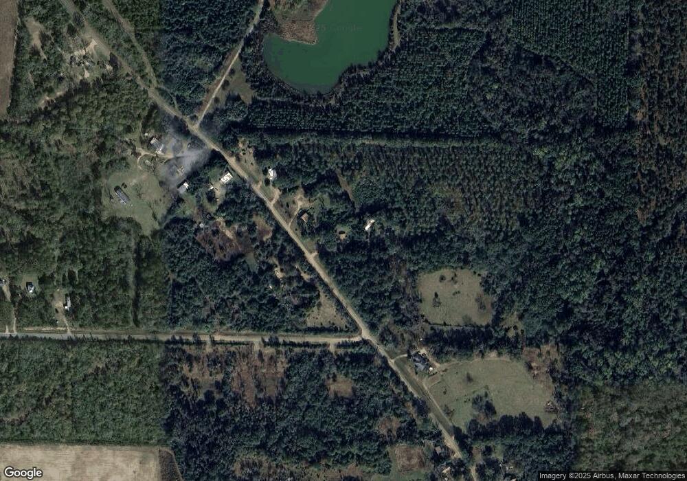
Map
Nearby Homes
- 448 Henry Mitchell Dr NE
- 434 Foster Ave
- 361/552 NW Tenth Ave
- 904 Ash St NE
- 527 Orange St NE
- 229 7th Ave NW
- 0 Cooper Dr NE Unit 7597500
- 0 Cooper Dr NE Unit 10543060
- 828 Cooper Dr NE
- 513 College St NE
- 411 E Lee St
- 1264 Ball Park Ave NE
- 1240 Askew Dr NE
- 1258 Askew Dr NE
- 1256 Ball Park Ave NE
- 0 Cox Rd
- 1239 Askew Dr NE
- 707 Johnson St SE
- 13XX Graves Hwy
- 439 Cherry St SE
- 760 Jones Mill Rd
- 71 Apple Ln
- 707 Jones Mill Rd
- 808 Jones Mill Rd
- 838 Jones Mill Rd
- 463 Pat Whatley Rd
- 558 Jones Mill Rd
- 558 Jones Mill Rd
- 831 Jones Mill Rd
- 33 Holly Ln
- 886 Jones Mill Rd
- 497 Jones Mill Rd
- 215 Pat Whatley Rd
- 484 Jones Mill Rd
- 320 Pat Whatley Rd
- 1001 Jones Mill Rd
- 415 Jones Mill Rd
- 408 Jones Mill Rd
- 384 Jones Mill Rd
- 375 Jones Mill Rd