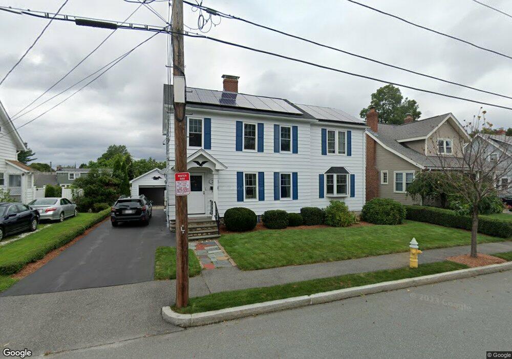
27 Arbutus Rd Worcester, MA 01606
Burncoat NeighborhoodEstimated Value: $478,000 - $559,000
4
Beds
3
Baths
2,156
Sq Ft
$238/Sq Ft
Est. Value
About This Home
This home is located at 27 Arbutus Rd, Worcester, MA 01606 and is currently estimated at $513,126, approximately $237 per square foot. 27 Arbutus Rd is a home located in Worcester County with nearby schools including Belmont Street Community School, Jacob Hiatt Magnet School, and Chandler Magnet.
Create a Home Valuation Report for This Property
The Home Valuation Report is an in-depth analysis detailing your home's value as well as a comparison with similar homes in the area
Home Values in the Area
Average Home Value in this Area
Tax History
| Year | Tax Paid | Tax Assessment Tax Assessment Total Assessment is a certain percentage of the fair market value that is determined by local assessors to be the total taxable value of land and additions on the property. | Land | Improvement |
|---|---|---|---|---|
| 2025 | $5,818 | $441,100 | $112,900 | $328,200 |
| 2024 | $5,704 | $414,800 | $112,900 | $301,900 |
| 2023 | $5,501 | $383,600 | $98,200 | $285,400 |
| 2022 | $5,109 | $335,900 | $78,500 | $257,400 |
| 2021 | $5,074 | $311,700 | $62,800 | $248,900 |
| 2020 | $4,927 | $289,800 | $62,800 | $227,000 |
| 2019 | $4,765 | $264,700 | $56,500 | $208,200 |
| 2018 | $4,745 | $250,900 | $56,500 | $194,400 |
| 2017 | $4,569 | $237,700 | $56,500 | $181,200 |
| 2016 | $4,188 | $203,200 | $41,900 | $161,300 |
| 2015 | $4,078 | $203,200 | $41,900 | $161,300 |
| 2014 | $3,971 | $203,200 | $41,900 | $161,300 |
Source: Public Records
Map
Nearby Homes
- 66 Eunice Ave
- 331 Burncoat St
- 323 Burncoat St
- 13 Fatima Ln
- 53 Collins St
- 30 Danielles Way
- 58 Osceola Ave
- 169 Whitmarsh Ave
- 39 Whitmarsh Ave
- 3205 Halcyon Dr Unit 3205
- 69 Santoro Rd
- 10 Beale St
- 12 Beale St
- 39 Mountainshire Dr
- 15 Ericsson St
- 71 Hillside Village Dr
- 12 Erie Ave
- 31 Danielles Way
- 1110 W Boylston St Unit A
- 22 Danielles Way
Your Personal Tour Guide
Ask me questions while you tour the home.