27 Austin Ln Camden, ME 04843
Estimated Value: $883,089 - $997,000
6
Beds
5
Baths
4,068
Sq Ft
$235/Sq Ft
Est. Value
About This Home
This home is located at 27 Austin Ln, Camden, ME 04843 and is currently estimated at $955,022, approximately $234 per square foot. 27 Austin Ln is a home located in Knox County with nearby schools including Camden-Rockport Elementary School, Camden-Rockport Middle School, and Camden Hills Regional High School.
Ownership History
Date
Name
Owned For
Owner Type
Purchase Details
Closed on
Nov 23, 2009
Sold by
Maine Frame Inc
Bought by
Ogier Matthew R and Ogier Rachel A
Current Estimated Value
Home Financials for this Owner
Home Financials are based on the most recent Mortgage that was taken out on this home.
Original Mortgage
$532,965
Outstanding Balance
$345,505
Interest Rate
4.86%
Mortgage Type
Purchase Money Mortgage
Estimated Equity
$609,517
Create a Home Valuation Report for This Property
The Home Valuation Report is an in-depth analysis detailing your home's value as well as a comparison with similar homes in the area
Home Values in the Area
Average Home Value in this Area
Purchase History
| Date | Buyer | Sale Price | Title Company |
|---|---|---|---|
| Ogier Matthew R | -- | -- |
Source: Public Records
Mortgage History
| Date | Status | Borrower | Loan Amount |
|---|---|---|---|
| Open | Ogier Matthew R | $532,965 |
Source: Public Records
Tax History Compared to Growth
Tax History
| Year | Tax Paid | Tax Assessment Tax Assessment Total Assessment is a certain percentage of the fair market value that is determined by local assessors to be the total taxable value of land and additions on the property. | Land | Improvement |
|---|---|---|---|---|
| 2024 | $8,744 | $832,800 | $164,500 | $668,300 |
| 2023 | $9,239 | $669,500 | $69,500 | $600,000 |
| 2022 | $8,837 | $669,500 | $69,500 | $600,000 |
| 2021 | $7,663 | $499,200 | $74,500 | $424,700 |
| 2020 | $7,503 | $499,200 | $74,500 | $424,700 |
| 2019 | $7,443 | $499,200 | $74,500 | $424,700 |
| 2018 | $7,230 | $485,900 | $70,400 | $415,500 |
| 2017 | $6,987 | $485,900 | $70,400 | $415,500 |
| 2016 | $6,796 | $435,900 | $61,400 | $374,500 |
| 2015 | $6,595 | $435,900 | $61,400 | $374,500 |
| 2014 | $6,290 | $435,900 | $61,400 | $374,500 |
| 2013 | $6,120 | $435,900 | $61,400 | $374,500 |
Source: Public Records
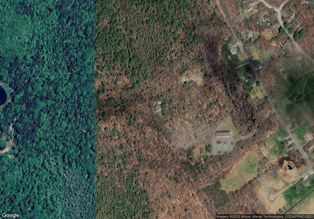
Map
Nearby Homes
- 19 Austin Ln
- 1 Lamphier Ln
- 190 Cobb Rd
- 176 Cobb Rd
- 181 Cobb Rd
- 191 Cobb Rd
- 171 Cobb Rd
- 65 Cobb Rd
- 00 Cobb Rd
- 36 Pleasant Ridge Dr
- 4 Sweetbrier Rd
- 2 Sweetbrier Rd
- 41 Pleasant Ridge Dr
- 150 Cobb Rd
- 155 Cobb Rd
- 28 Pleasant Ridge Dr
- 30 Pleasant Ridge Dr
- 26 Pleasant Ridge Dr
- 32 Pleasant Ridge Dr
- 6 Sweetbrier Rd