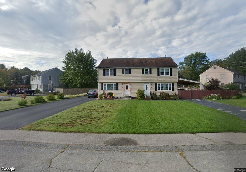
27 Azalea Dr East Taunton, MA 02718
East Taunton NeighborhoodEstimated Value: $371,711 - $429,000
3
Beds
2
Baths
1,219
Sq Ft
$325/Sq Ft
Est. Value
About This Home
This home is located at 27 Azalea Dr, East Taunton, MA 02718 and is currently estimated at $396,678, approximately $325 per square foot. 27 Azalea Dr is a home located in Bristol County with nearby schools including East Taunton Elementary School, Joseph H. Martin, and Taunton High School.
Ownership History
Date
Name
Owned For
Owner Type
Purchase Details
Closed on
Apr 30, 1993
Sold by
Bp Rt and Treannie Cynthia R
Bought by
Mendonca Jose and Mendonca Isabel
Current Estimated Value
Home Financials for this Owner
Home Financials are based on the most recent Mortgage that was taken out on this home.
Original Mortgage
$70,200
Interest Rate
7.51%
Mortgage Type
Purchase Money Mortgage
Create a Home Valuation Report for This Property
The Home Valuation Report is an in-depth analysis detailing your home's value as well as a comparison with similar homes in the area
Home Values in the Area
Average Home Value in this Area
Purchase History
| Date | Buyer | Sale Price | Title Company |
|---|---|---|---|
| Mendonca Jose | $78,000 | -- |
Source: Public Records
Mortgage History
| Date | Status | Borrower | Loan Amount |
|---|---|---|---|
| Closed | Mendonca Jose | $70,200 |
Source: Public Records
Tax History Compared to Growth
Tax History
| Year | Tax Paid | Tax Assessment Tax Assessment Total Assessment is a certain percentage of the fair market value that is determined by local assessors to be the total taxable value of land and additions on the property. | Land | Improvement |
|---|---|---|---|---|
| 2025 | $3,661 | $334,600 | $0 | $334,600 |
| 2024 | $3,564 | $318,500 | $0 | $318,500 |
| 2023 | $3,632 | $301,400 | $0 | $301,400 |
| 2022 | $2,640 | $200,300 | $0 | $200,300 |
| 2021 | $2,831 | $199,400 | $0 | $199,400 |
| 2020 | $2,751 | $185,100 | $0 | $185,100 |
| 2019 | $2,884 | $183,000 | $0 | $183,000 |
| 2018 | $2,825 | $179,700 | $0 | $179,700 |
| 2017 | $2,583 | $164,400 | $0 | $164,400 |
| 2016 | $2,498 | $159,300 | $0 | $159,300 |
| 2015 | $2,357 | $157,000 | $0 | $157,000 |
| 2014 | $2,294 | $157,000 | $0 | $157,000 |
Source: Public Records
Map
Nearby Homes
- 218R Hart St Unit B
- 218R Hart St Unit A
- 147 Colonial Dr
- 96 Old Colony Ave Unit 264
- 79 Liberty St
- 16 Liberty St
- 203 Bluejay Ln
- 96 Old Colony Ave Unit 158
- 96 Old Colony Ave Unit 319
- 96 Old Colony Ave Unit 227
- 31 Bruno's Way Unit A
- 170 Hart St Unit B
- 15 Carlton St
- 3 Karena Dr Unit 4-5
- 649 Middleboro Ave
- 106 Alicia Dr
- 800 County St Unit 3-24
- 51 Swan Dr
- 32 Kendall Ct
- 35 Pilgrim Village Rd Unit 502