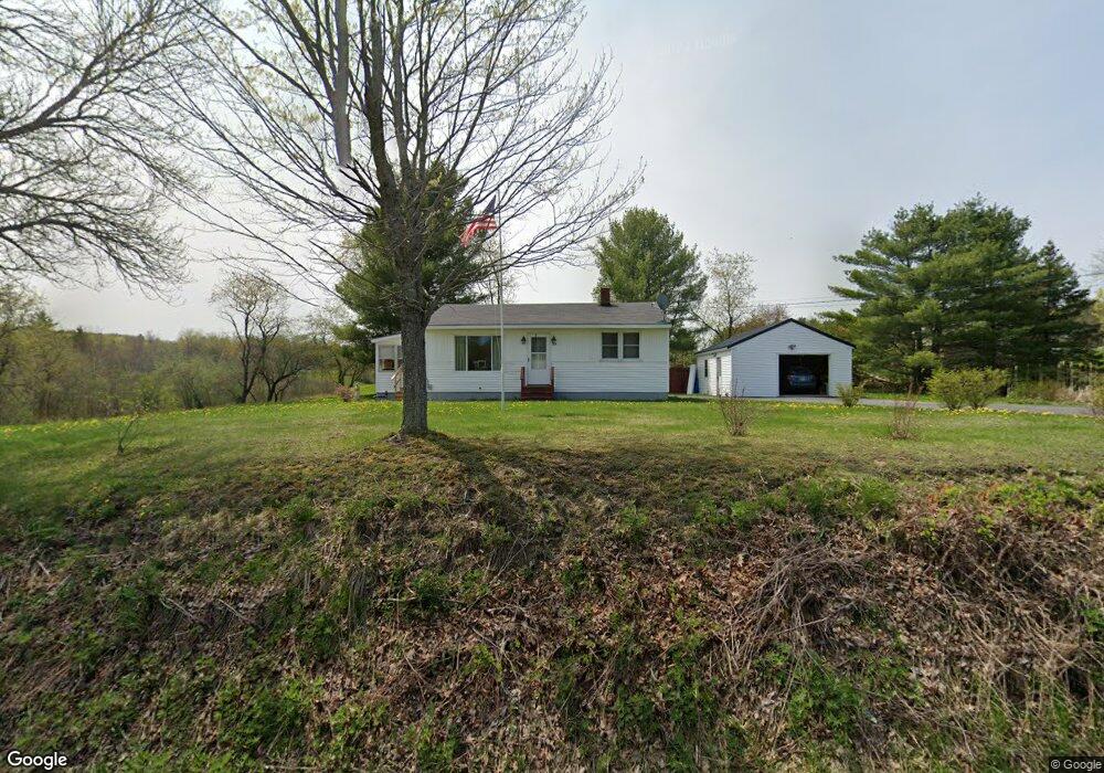
27 Back Rd Skowhegan, ME 04976
Estimated Value: $187,000 - $207,000
2
Beds
1
Bath
768
Sq Ft
$254/Sq Ft
Est. Value
About This Home
This home is located at 27 Back Rd, Skowhegan, ME 04976 and is currently estimated at $195,253, approximately $254 per square foot. 27 Back Rd is a home located in Somerset County with nearby schools including Creative Children's Academy, Overman Academy, and Faith Baptist Christian School.
Ownership History
Date
Name
Owned For
Owner Type
Purchase Details
Closed on
Dec 30, 2024
Sold by
Ambulos Merlene J Est and Knowles
Bought by
Curtis Jason L
Current Estimated Value
Home Financials for this Owner
Home Financials are based on the most recent Mortgage that was taken out on this home.
Original Mortgage
$181,649
Outstanding Balance
$180,395
Interest Rate
6.84%
Mortgage Type
FHA
Estimated Equity
$14,858
Create a Home Valuation Report for This Property
The Home Valuation Report is an in-depth analysis detailing your home's value as well as a comparison with similar homes in the area
Home Values in the Area
Average Home Value in this Area
Purchase History
| Date | Buyer | Sale Price | Title Company |
|---|---|---|---|
| Curtis Jason L | $185,000 | None Available | |
| Curtis Jason L | $185,000 | None Available | |
| Ambulos Merlene J Est | $10,000 | None Available | |
| Ambulos Merlene J Est | $10,000 | None Available |
Source: Public Records
Mortgage History
| Date | Status | Borrower | Loan Amount |
|---|---|---|---|
| Open | Curtis Jason L | $181,649 | |
| Closed | Curtis Jason L | $181,649 |
Source: Public Records
Tax History
| Year | Tax Paid | Tax Assessment Tax Assessment Total Assessment is a certain percentage of the fair market value that is determined by local assessors to be the total taxable value of land and additions on the property. | Land | Improvement |
|---|---|---|---|---|
| 2024 | $2,246 | $124,300 | $35,800 | $88,500 |
| 2023 | $2,203 | $124,300 | $35,800 | $88,500 |
| 2022 | $1,753 | $100,300 | $25,000 | $75,300 |
| 2021 | $1,675 | $91,300 | $25,000 | $66,300 |
| 2020 | $1,483 | $85,600 | $25,000 | $60,600 |
| 2019 | $1,677 | $85,600 | $25,000 | $60,600 |
| 2018 | $1,370 | $85,600 | $25,000 | $60,600 |
| 2017 | $1,616 | $80,800 | $20,200 | $60,600 |
| 2016 | $1,316 | $69,400 | $20,200 | $49,200 |
| 2015 | $1,270 | $69,400 | $20,200 | $49,200 |
| 2014 | $1,190 | $69,400 | $20,200 | $49,200 |
| 2013 | $1,138 | $69,400 | $20,200 | $49,200 |
Source: Public Records
Map
Nearby Homes
- 82 Back Rd
- 161 Back Rd
- 66 W Front St
- 1 Waterville Rd
- 7 Dartmouth St
- 6 Prescelly Dr
- 11 Summer St
- 39 Joyce St
- 18 Leavitt St
- 14 Dinsmore St
- 131 Madison Ave
- P/O M9 L65 Waterville Rd
- 14 Heselton St
- M4 L16-4 Coburn Ave
- M4 L16-6 Coburn Ave
- M4 L16-7 Coburn Ave
- 18 Maple St
- 8 Chestnut St
- M4 L16-10 Fox Hollow Ln
- M4 L16-9 Fox Hollow Ln
Your Personal Tour Guide
Ask me questions while you tour the home.