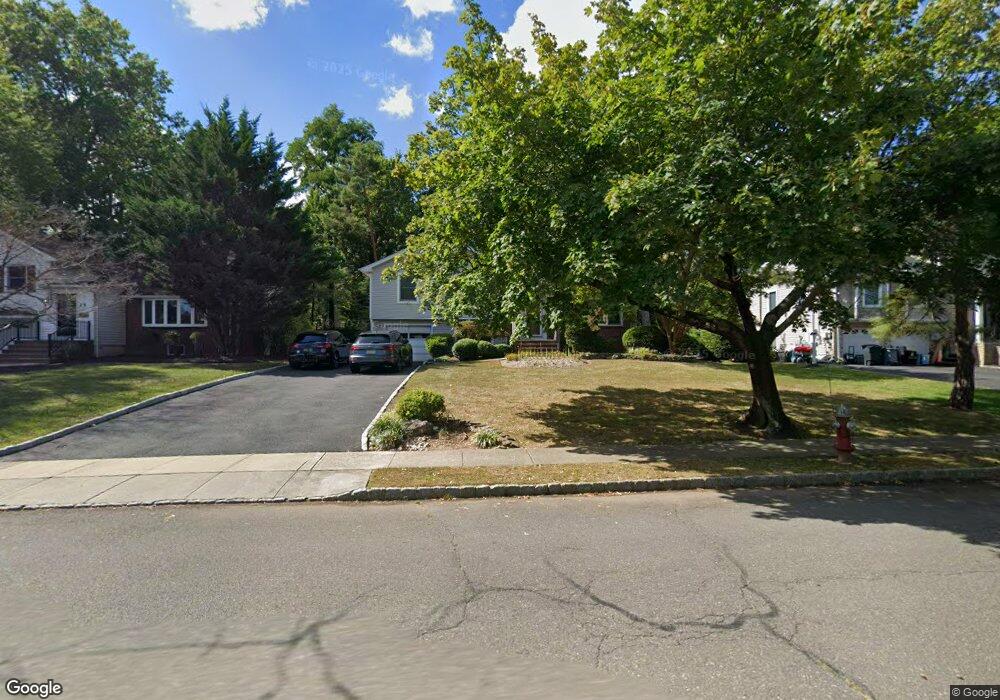
27 Baker Rd Livingston, NJ 07039
Estimated Value: $1,037,646 - $1,278,000
Studio
--
Bath
2,705
Sq Ft
$443/Sq Ft
Est. Value
About This Home
This home is located at 27 Baker Rd, Livingston, NJ 07039 and is currently estimated at $1,198,162, approximately $442 per square foot. 27 Baker Rd is a home located in Essex County with nearby schools including Livingston Sr High School, Joseph Kushner Hebrew Academy, and Sinai Schools Maor.
Ownership History
Date
Name
Owned For
Owner Type
Purchase Details
Closed on
Nov 15, 1996
Sold by
Lay Wei Hung
Bought by
Eraso Alvaro and Eraso Sung
Current Estimated Value
Home Financials for this Owner
Home Financials are based on the most recent Mortgage that was taken out on this home.
Original Mortgage
$183,000
Outstanding Balance
$17,495
Interest Rate
7.75%
Estimated Equity
$1,180,667
Create a Home Valuation Report for This Property
The Home Valuation Report is an in-depth analysis detailing your home's value as well as a comparison with similar homes in the area
Home Values in the Area
Average Home Value in this Area
Purchase History
| Date | Buyer | Sale Price | Title Company |
|---|---|---|---|
| Eraso Alvaro | $245,000 | -- |
Source: Public Records
Mortgage History
| Date | Status | Borrower | Loan Amount |
|---|---|---|---|
| Open | Eraso Alvaro | $183,000 |
Source: Public Records
Tax History
| Year | Tax Paid | Tax Assessment Tax Assessment Total Assessment is a certain percentage of the fair market value that is determined by local assessors to be the total taxable value of land and additions on the property. | Land | Improvement |
|---|---|---|---|---|
| 2025 | $15,151 | $619,400 | $311,200 | $308,200 |
| 2024 | $14,692 | $619,400 | $311,200 | $308,200 |
| 2022 | $14,451 | $619,400 | $311,200 | $308,200 |
| 2021 | $14,333 | $619,400 | $311,200 | $308,200 |
| 2020 | $14,067 | $619,400 | $311,200 | $308,200 |
| 2019 | $16,308 | $623,400 | $357,700 | $265,700 |
| 2018 | $16,090 | $623,400 | $357,700 | $265,700 |
| 2017 | $15,878 | $623,400 | $357,700 | $265,700 |
| 2016 | $15,585 | $623,400 | $357,700 | $265,700 |
| 2015 | $15,354 | $623,400 | $357,700 | $265,700 |
| 2014 | $14,856 | $623,400 | $357,700 | $265,700 |
Source: Public Records
Map
Nearby Homes
- 22 Post Ln
- 33 Tower Rd
- 3 Champion Blvd
- 13 Penwood Rd
- 17 Penwood Rd
- 5 Foxcroft Dr
- 328 Hillside Ave
- 11 S Cedar Pkwy
- 31 North Dr
- 50 Castle Ridge Dr
- 8 Mikula Way
- 125 Mount Pleasant Ave
- 175 Castle Ridge Dr
- 50 River Rd
- 13 Harding Place
- 204 W Northfield Rd
- 13 Blackstone Dr
- 17 Gala Ct
- 16 Crossbrook Place
- 44 Manor Rd
Your Personal Tour Guide
Ask me questions while you tour the home.