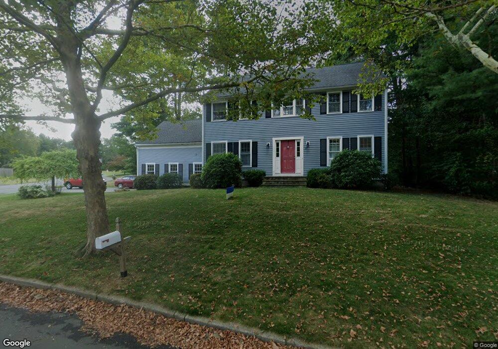
27 Bay Path Ln Rockland, MA 02370
Estimated Value: $713,000 - $803,000
4
Beds
3
Baths
2,484
Sq Ft
$307/Sq Ft
Est. Value
About This Home
This home is located at 27 Bay Path Ln, Rockland, MA 02370 and is currently estimated at $762,039, approximately $306 per square foot. 27 Bay Path Ln is a home located in Plymouth County with nearby schools including Rockland Senior High School, Calvary Chapel Academy, and St Bridget School.
Ownership History
Date
Name
Owned For
Owner Type
Purchase Details
Closed on
Mar 13, 2019
Sold by
White Charles S and White Deborah J
Bought by
Deborah J D White Lt
Current Estimated Value
Purchase Details
Closed on
Aug 24, 1995
Sold by
Buckley Brian C and Commane Eileen M
Bought by
White Charles S and White Deborah Jd
Home Financials for this Owner
Home Financials are based on the most recent Mortgage that was taken out on this home.
Original Mortgage
$185,000
Interest Rate
7.32%
Mortgage Type
Purchase Money Mortgage
Purchase Details
Closed on
Dec 2, 1991
Sold by
Booth Karen A and Booth Parker R
Bought by
Buckley Brian C and Commane Eileen M
Purchase Details
Closed on
Oct 29, 1990
Sold by
Beech Hill Prop Inc
Bought by
Booth Parker R
Create a Home Valuation Report for This Property
The Home Valuation Report is an in-depth analysis detailing your home's value as well as a comparison with similar homes in the area
Home Values in the Area
Average Home Value in this Area
Purchase History
| Date | Buyer | Sale Price | Title Company |
|---|---|---|---|
| Deborah J D White Lt | -- | -- | |
| White Charles S | $218,000 | -- | |
| Buckley Brian C | $220,000 | -- | |
| Booth Parker R | $223,750 | -- |
Source: Public Records
Mortgage History
| Date | Status | Borrower | Loan Amount |
|---|---|---|---|
| Previous Owner | Booth Parker R | $174,000 | |
| Previous Owner | Booth Parker R | $22,700 | |
| Previous Owner | Booth Parker R | $185,000 | |
| Previous Owner | Booth Parker R | $150,000 |
Source: Public Records
Map
Nearby Homes
- 5 Alpine St
- 810 Brookline Way
- 9 Pat Rose Way
- 8 Pat Rose Way
- 5 Pat Rose Way
- 696 Summer St
- 340 Centre Ave Unit 44
- 215 Market St
- 608 Plymouth St
- 823 Market St
- 9 Old Market St
- 291 Raynor Ave
- 170 Pleasant St
- 10 Proud Foot Way
- 7 Carlys Way
- 7 Hayford Trail Unit 12
- 5 Hayford Trail Unit 11
- 49 Liberty St
- 17 Hayford Trail Unit 12
- 22 Howland Trail Unit 34
- 25 Bay Path Ln
- 22 Nobscot Brook Ln
- 7 Daniel Teague Dr
- 9 Daniel Teague Dr
- 5 Daniel Teague Dr
- 23 Bay Path Ln
- 31 Bay Path Ln
- 20 Nobscot Brook Ln
- 11 Daniel Teague Dr
- 23 Nobscot Brook Ln
- 22 Bay Path Ln
- 3 Daniel Teague Dr
- 21 Bay Path Ln
- 8 Daniel Teague Dr
- 6 Daniel Teague Dr
- 18 Nobscot Brook Ln
- 10 Daniel Teague Dr
- 20 Bay Path Ln
- 21 Nobscot Brook Ln
- 4 Daniel Teague Dr
Your Personal Tour Guide
Ask me questions while you tour the home.