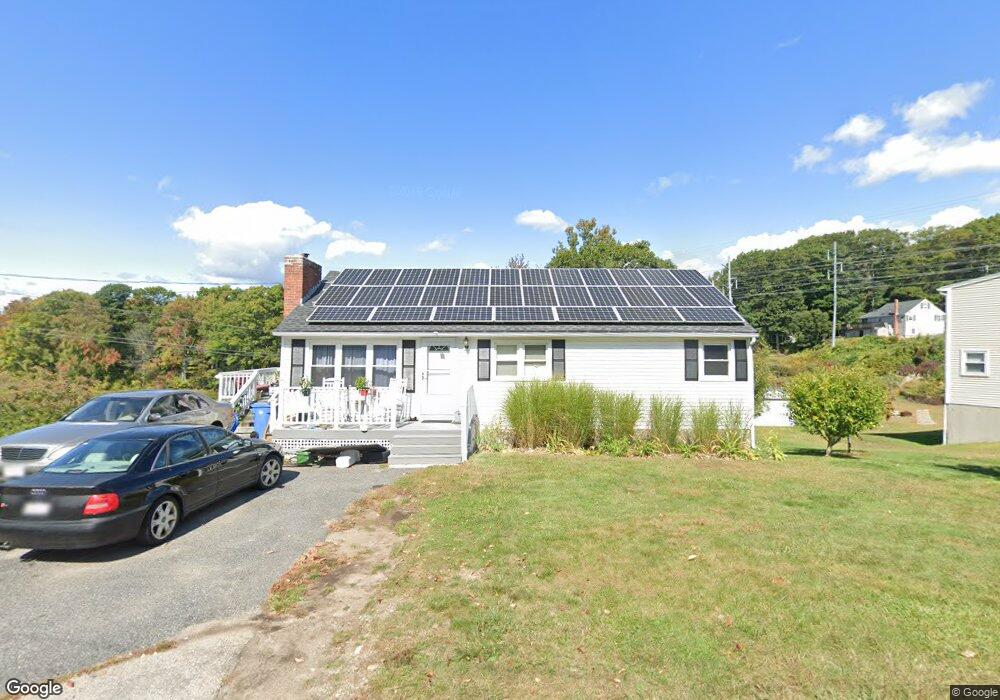
27 Bellville Ln Millbury, MA 01527
Estimated Value: $384,000 - $440,000
3
Beds
1
Bath
1,066
Sq Ft
$391/Sq Ft
Est. Value
About This Home
This home is located at 27 Bellville Ln, Millbury, MA 01527 and is currently estimated at $416,333, approximately $390 per square foot. 27 Bellville Ln is a home located in Worcester County with nearby schools including Elmwood Street Elementary School, Raymond E. Shaw Elementary School, and Millbury Junior/Senior High School.
Ownership History
Date
Name
Owned For
Owner Type
Purchase Details
Closed on
Jan 31, 2007
Sold by
Bank Of New York T Co and Residential Funding Co
Bought by
Froment Kevin A
Current Estimated Value
Home Financials for this Owner
Home Financials are based on the most recent Mortgage that was taken out on this home.
Original Mortgage
$152,800
Interest Rate
6.16%
Mortgage Type
Purchase Money Mortgage
Purchase Details
Closed on
Jan 29, 2007
Sold by
Bank Of New York T Co and Residential Funding Co
Bought by
Bank Of New York T Co and Res Funding Corp
Home Financials for this Owner
Home Financials are based on the most recent Mortgage that was taken out on this home.
Original Mortgage
$152,800
Interest Rate
6.16%
Mortgage Type
Purchase Money Mortgage
Purchase Details
Closed on
Jun 3, 1994
Sold by
Stockwell Catherine
Bought by
Brady Douglas R and Brady Jean M
Create a Home Valuation Report for This Property
The Home Valuation Report is an in-depth analysis detailing your home's value as well as a comparison with similar homes in the area
Home Values in the Area
Average Home Value in this Area
Purchase History
| Date | Buyer | Sale Price | Title Company |
|---|---|---|---|
| Froment Kevin A | $191,000 | -- | |
| Froment Kevin A | $191,000 | -- | |
| Bank Of New York T Co | $204,318 | -- | |
| Bank Of New York T Co | $204,318 | -- | |
| Brady Douglas R | $80,000 | -- | |
| Brady Douglas R | $80,000 | -- |
Source: Public Records
Mortgage History
| Date | Status | Borrower | Loan Amount |
|---|---|---|---|
| Open | Brady Douglas R | $145,500 | |
| Closed | Froment Kevin A | $152,800 |
Source: Public Records
Tax History Compared to Growth
Tax History
| Year | Tax Paid | Tax Assessment Tax Assessment Total Assessment is a certain percentage of the fair market value that is determined by local assessors to be the total taxable value of land and additions on the property. | Land | Improvement |
|---|---|---|---|---|
| 2025 | $4,304 | $321,400 | $119,500 | $201,900 |
| 2024 | $3,948 | $298,400 | $110,700 | $187,700 |
| 2023 | $3,559 | $246,300 | $77,700 | $168,600 |
| 2022 | $3,470 | $231,300 | $77,700 | $153,600 |
| 2021 | $3,415 | $221,300 | $77,700 | $143,600 |
| 2020 | $3,336 | $217,600 | $77,700 | $139,900 |
| 2019 | $3,530 | $222,700 | $77,300 | $145,400 |
| 2018 | $3,345 | $204,700 | $77,300 | $127,400 |
| 2017 | $3,146 | $191,500 | $80,700 | $110,800 |
| 2016 | $2,996 | $182,000 | $80,700 | $101,300 |
| 2015 | $3,037 | $184,500 | $85,700 | $98,800 |
| 2014 | $2,981 | $174,300 | $85,700 | $88,600 |
Source: Public Records
Map
Nearby Homes
- 15 Rayburn Dr
- 123 Riverlin St
- 64 Millbury Ave
- 16 Jackie Dr
- 17 Atwood Ave
- 4 Thomas Hill Rd
- Lot 1 Cooper Rd
- 8 Autumn Gate Cir
- 20 Woodridge Rd
- 10 Leslie Ln
- 16 Elm Ct
- 2 Jessica j Dr
- 4 Jessica j Dr
- 90 Macarthur Dr
- 5 Mogren Dr
- 52 Clearview Terrace Unit 39
- 81 Ariel Cir
- 15 Clearview Terrace Unit 68
- 73 Potter Hill Rd
- 12 Alstead Path