Estimated Value: $404,801 - $540,000
2
Beds
2
Baths
1,220
Sq Ft
$381/Sq Ft
Est. Value
About This Home
This home is located at 27 Black Smith Rd Unit 6, Wells, ME 04090 and is currently estimated at $464,450, approximately $380 per square foot. 27 Black Smith Rd Unit 6 is a home located in York County with nearby schools including Wells Junior High School, Wells Elementary School, and Wells High School.
Ownership History
Date
Name
Owned For
Owner Type
Purchase Details
Closed on
Jul 15, 2013
Sold by
Tomaszewski Elaine M and Melito Carmen A
Bought by
Durkin Ann E
Current Estimated Value
Home Financials for this Owner
Home Financials are based on the most recent Mortgage that was taken out on this home.
Original Mortgage
$136,500
Outstanding Balance
$27,603
Interest Rate
3.83%
Mortgage Type
New Conventional
Estimated Equity
$436,847
Purchase Details
Closed on
Oct 23, 2009
Sold by
Banfield Anne E
Bought by
Tomaszewski Elaine M and Melito Carmen A
Home Financials for this Owner
Home Financials are based on the most recent Mortgage that was taken out on this home.
Original Mortgage
$140,000
Interest Rate
5.09%
Mortgage Type
Purchase Money Mortgage
Create a Home Valuation Report for This Property
The Home Valuation Report is an in-depth analysis detailing your home's value as well as a comparison with similar homes in the area
Home Values in the Area
Average Home Value in this Area
Purchase History
| Date | Buyer | Sale Price | Title Company |
|---|---|---|---|
| Durkin Ann E | -- | -- | |
| Durkin Ann E | -- | -- | |
| Durkin Ann E | -- | -- | |
| Tomaszewski Elaine M | -- | -- | |
| Tomaszewski Elaine M | -- | -- |
Source: Public Records
Mortgage History
| Date | Status | Borrower | Loan Amount |
|---|---|---|---|
| Open | Durkin Ann E | $136,500 | |
| Closed | Tomaszewski Elaine M | $136,500 | |
| Previous Owner | Tomaszewski Elaine M | $140,000 |
Source: Public Records
Tax History
| Year | Tax Paid | Tax Assessment Tax Assessment Total Assessment is a certain percentage of the fair market value that is determined by local assessors to be the total taxable value of land and additions on the property. | Land | Improvement |
|---|---|---|---|---|
| 2025 | $2,312 | $357,900 | $174,860 | $183,040 |
| 2024 | $2,176 | $357,900 | $174,860 | $183,040 |
| 2023 | $2,120 | $355,670 | $174,860 | $180,810 |
| 2022 | $1,948 | $186,210 | $79,580 | $106,630 |
| 2021 | $1,938 | $184,230 | $79,580 | $104,650 |
| 2020 | $1,931 | $184,230 | $79,580 | $104,650 |
| 2019 | $1,920 | $184,230 | $79,580 | $104,650 |
| 2018 | $1,901 | $184,230 | $79,580 | $104,650 |
| 2017 | $1,872 | $184,230 | $79,580 | $104,650 |
| 2016 | $1,853 | $184,230 | $79,580 | $104,650 |
| 2015 | $1,833 | $184,230 | $79,580 | $104,650 |
| 2013 | $1,680 | $184,230 | $79,580 | $104,650 |
Source: Public Records
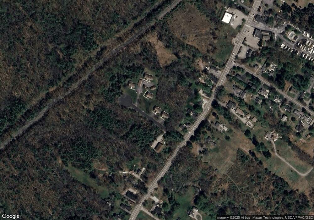
Map
Nearby Homes
- 66 Nicholas Dr
- 50 Coles Hill Rd
- 1762 Post Rd Unit 206
- 1733 Post Rd
- Lots 1-6 Pike Rd
- TBD Eagle Crest Dr
- 99 Harbor Rd Unit Lot 52
- 99 Harbor Rd Unit Lot 54
- 47 Whistle Stop Cir
- 89 Skyline Cir
- 500 Atlantic Ave Unit 2
- 1413 Post Rd Unit 58
- 1373 Post Rd Unit 8E
- 1373 Post Rd Unit 4E
- 1373 Post Rd Unit 10A
- 1373 Post Rd Unit 2C
- 1373 Post Rd Unit 6B
- 1373 Post Rd Unit 1F
- 160 Millbrooke Farm Dr Unit 160
- 162 Millbrooke Farm Dr Unit 162
- 27 Black Smith Rd Unit 5
- 27 Black Smith Rd Unit 4
- 27 Blacksmith Rd Unit 5B
- 27 Blacksmith Rd Unit 6B
- 27 Blacksmith Brook Rd Unit 6B
- 21 Black Smith Rd Unit 3
- 21 Black Smith Rd Unit 2
- 21 Black Smith Rd Unit 1
- 21 Blacksmith Rd Unit 3A
- 21 Blacksmith Rd Unit 2
- 49 Black Smith Rd Unit 9
- 49 Black Smith Rd Unit 8
- 49 Black Smith Rd Unit 7
- 8 Blacksmith Rd
- 52 Black Smith Rd Unit 16
- 52 Black Smith Rd Unit 15
- 52 Black Smith Rd Unit 14
- 1980 Post Rd
- 1996C Post Rd
- 20 Black Smith Rd Unit 3
Your Personal Tour Guide
Ask me questions while you tour the home.