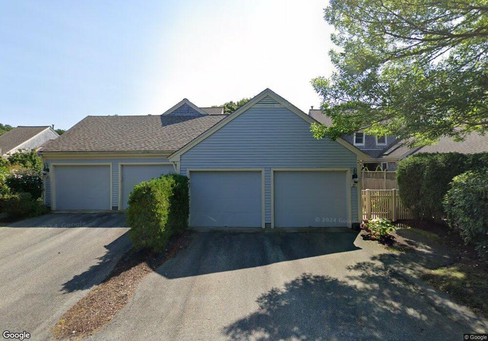
27 Blueberry Path Yarmouth Port, MA 02675
Yarmouth Port NeighborhoodEstimated Value: $700,000 - $788,000
2
Beds
5
Baths
1,659
Sq Ft
$453/Sq Ft
Est. Value
About This Home
This home is located at 27 Blueberry Path, Yarmouth Port, MA 02675 and is currently estimated at $752,098, approximately $453 per square foot. 27 Blueberry Path is a home located in Barnstable County with nearby schools including Dennis-Yarmouth Regional High School.
Ownership History
Date
Name
Owned For
Owner Type
Purchase Details
Closed on
Nov 7, 2018
Sold by
Jeanette S Poupart Ret
Bought by
Potter Donna M
Current Estimated Value
Home Financials for this Owner
Home Financials are based on the most recent Mortgage that was taken out on this home.
Original Mortgage
$384,000
Outstanding Balance
$329,550
Interest Rate
3.88%
Mortgage Type
New Conventional
Estimated Equity
$422,548
Purchase Details
Closed on
Dec 28, 2004
Sold by
27 Blueberry Path Rt
Bought by
Welch Judith M
Purchase Details
Closed on
Aug 24, 2000
Sold by
Kings Way Prop T
Bought by
Welch Richard L
Create a Home Valuation Report for This Property
The Home Valuation Report is an in-depth analysis detailing your home's value as well as a comparison with similar homes in the area
Home Values in the Area
Average Home Value in this Area
Purchase History
| Date | Buyer | Sale Price | Title Company |
|---|---|---|---|
| Potter Donna M | $480,000 | -- | |
| Welch Judith M | -- | -- | |
| Welch Judith M | -- | -- | |
| Welch Richard L | $313,832 | -- |
Source: Public Records
Mortgage History
| Date | Status | Borrower | Loan Amount |
|---|---|---|---|
| Open | Potter Donna M | $384,000 |
Source: Public Records
Tax History Compared to Growth
Tax History
| Year | Tax Paid | Tax Assessment Tax Assessment Total Assessment is a certain percentage of the fair market value that is determined by local assessors to be the total taxable value of land and additions on the property. | Land | Improvement |
|---|---|---|---|---|
| 2025 | $5,007 | $707,200 | $0 | $707,200 |
| 2024 | $5,030 | $681,600 | $0 | $681,600 |
| 2023 | $4,629 | $570,800 | $0 | $570,800 |
| 2022 | $4,528 | $493,300 | $0 | $493,300 |
| 2021 | $4,408 | $461,100 | $0 | $461,100 |
| 2020 | $4,450 | $445,000 | $0 | $445,000 |
| 2019 | $4,176 | $413,500 | $0 | $413,500 |
| 2018 | $3,930 | $381,900 | $0 | $381,900 |
| 2017 | $3,668 | $366,100 | $0 | $366,100 |
| 2016 | $3,497 | $350,400 | $0 | $350,400 |
| 2015 | $3,575 | $356,100 | $0 | $356,100 |
Source: Public Records
Map
Nearby Homes
- 2 Pine Grove
- 25 Oak Glen
- 25 Oak Glen Village Unit 25
- 7 Forest Gate Unit 7
- 30 W Woods Cir Unit 30
- 30 W Woods
- 43 Canterbury Rd
- 17 Kates Path Unit A
- 228 Kates Path
- 1 Barnacle Rd
- 34 Kates Path
- 34 Kates Path Unit 34
- 86 Pompano Rd
- 64 Kates Path
- 44 Stratford Ln
- 24 Minnetuxet Way
- 50 John Hall Cartway
- 50 John Hall Cartway Unit 50
- 23 Dauphine Dr
- 42 John Hall Cartway Unit 42
- 42 Blueberry Path Unit N
- 42 Blueberry Path
- 36 Blueberry Path
- 32 Blueberry Path
- 23 Blueberry Path
- 22 Blueberry Path
- 11 Blueberry Path
- 10 Blueberry Path
- 8 Blueberry Path
- 7 Blueberry Path
- 6 Blueberry Path
- 11 Blueberry Path Unit I
- 7 Blueberry Path Unit H
- 32 Blueberry Path Unit 32
- 22 Blueberry Path Unit 22
- 26 Blueberry Path Unit P
- 32 Blueberry Path Unit O
- 36 Blueberry Path Unit N
- 22 Blueberry Path Unit O
- 23 Blueberry Path Unit D