27 Boynton Rd North Brookfield, MA 01535
Estimated Value: $445,000 - $785,000
2
Beds
2
Baths
1,196
Sq Ft
$492/Sq Ft
Est. Value
About This Home
This home is located at 27 Boynton Rd, North Brookfield, MA 01535 and is currently estimated at $588,412, approximately $491 per square foot. 27 Boynton Rd is a home located in Worcester County with nearby schools including North Brookfield Elementary School and North Brookfield High School.
Ownership History
Date
Name
Owned For
Owner Type
Purchase Details
Closed on
Aug 28, 1997
Sold by
Ahearn Patrick A and Ahearn Christine J
Bought by
Mcgrail Alvin F and Mcgrail Jeannette M
Current Estimated Value
Home Financials for this Owner
Home Financials are based on the most recent Mortgage that was taken out on this home.
Original Mortgage
$179,250
Outstanding Balance
$27,632
Interest Rate
7.41%
Mortgage Type
Purchase Money Mortgage
Estimated Equity
$560,780
Create a Home Valuation Report for This Property
The Home Valuation Report is an in-depth analysis detailing your home's value as well as a comparison with similar homes in the area
Home Values in the Area
Average Home Value in this Area
Purchase History
| Date | Buyer | Sale Price | Title Company |
|---|---|---|---|
| Mcgrail Alvin F | $175,000 | -- |
Source: Public Records
Mortgage History
| Date | Status | Borrower | Loan Amount |
|---|---|---|---|
| Open | Mcgrail Alvin F | $96,500 | |
| Open | Mcgrail Alvin F | $179,250 |
Source: Public Records
Tax History
| Year | Tax Paid | Tax Assessment Tax Assessment Total Assessment is a certain percentage of the fair market value that is determined by local assessors to be the total taxable value of land and additions on the property. | Land | Improvement |
|---|---|---|---|---|
| 2025 | $6,248 | $440,900 | $109,700 | $331,200 |
| 2024 | $5,881 | $447,900 | $109,700 | $338,200 |
| 2023 | $5,568 | $416,800 | $97,400 | $319,400 |
| 2022 | $5,479 | $368,700 | $86,300 | $282,400 |
| 2021 | $5,298 | $336,600 | $83,700 | $252,900 |
| 2019 | $4,953 | $291,700 | $83,600 | $208,100 |
| 2018 | $4,863 | $291,700 | $83,600 | $208,100 |
| 2017 | $4,737 | $286,600 | $104,000 | $182,600 |
| 2016 | $4,632 | $286,300 | $103,700 | $182,600 |
| 2015 | $4,608 | $295,600 | $107,300 | $188,300 |
| 2014 | $4,505 | $295,600 | $107,300 | $188,300 |
Source: Public Records
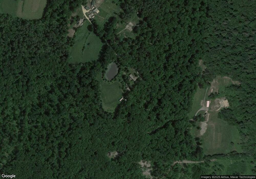
Map
Nearby Homes
- Lots R,1&2 Waite Corner & Collins Rd
- 19 Boynton Rd
- 41 Boynton Rd
- 17 Boynton Rd
- 15 Boynton Rd
- 3 Boynton Rd
- 40 Waite Corner Rd
- 54 Waite Corner Rd
- 50 Waite Corner Rd
- 38 Waite Corner Rd
- 42 Waite Corner Rd
- 85 Downey Rd
- 87 Downey Rd
- 53 Waite Corner Rd
- 81 Downey Rd
- 62 Waite Corner Rd
- 83 Downey Rd
- 77 Downey Rd
- 62 King Rd
- 89 Downey Rd
Your Personal Tour Guide
Ask me questions while you tour the home.