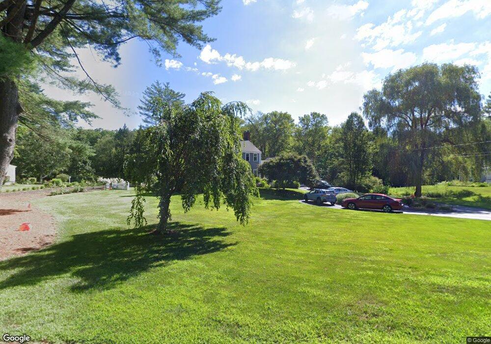
27 Brook Dr Simsbury, CT 06070
Estimated Value: $611,000 - $702,000
4
Beds
3
Baths
2,286
Sq Ft
$281/Sq Ft
Est. Value
About This Home
This home is located at 27 Brook Dr, Simsbury, CT 06070 and is currently estimated at $642,857, approximately $281 per square foot. 27 Brook Dr is a home located in Hartford County with nearby schools including Squadron Line School, Henry James Memorial School, and Simsbury High School.
Ownership History
Date
Name
Owned For
Owner Type
Purchase Details
Closed on
Jun 1, 2021
Sold by
Chapman Bruce J and Chapman Lisa A
Bought by
Roller John G and Roller Jennifer L
Current Estimated Value
Purchase Details
Closed on
May 30, 2006
Sold by
Benton Garrett R and Benton Jarqueline C
Bought by
Chapman Bruce J and Chapman Lisa A
Purchase Details
Closed on
Sep 3, 1997
Sold by
Havey Dale and Havey Isabel
Bought by
Benton Garrett and Benton Jacqueline
Purchase Details
Closed on
May 7, 1990
Sold by
Moffat Bruce
Bought by
Hovey Dale
Create a Home Valuation Report for This Property
The Home Valuation Report is an in-depth analysis detailing your home's value as well as a comparison with similar homes in the area
Home Values in the Area
Average Home Value in this Area
Purchase History
| Date | Buyer | Sale Price | Title Company |
|---|---|---|---|
| Roller John G | $480,000 | None Available | |
| Chapman Bruce J | $400,000 | -- | |
| Benton Garrett | $242,500 | -- | |
| Hovey Dale | $264,000 | -- |
Source: Public Records
Mortgage History
| Date | Status | Borrower | Loan Amount |
|---|---|---|---|
| Previous Owner | Hovey Dale | $54,000 | |
| Previous Owner | Hovey Dale | $273,000 | |
| Previous Owner | Hovey Dale | $250,000 |
Source: Public Records
Tax History Compared to Growth
Tax History
| Year | Tax Paid | Tax Assessment Tax Assessment Total Assessment is a certain percentage of the fair market value that is determined by local assessors to be the total taxable value of land and additions on the property. | Land | Improvement |
|---|---|---|---|---|
| 2025 | $10,313 | $301,910 | $93,520 | $208,390 |
| 2024 | $10,057 | $301,910 | $93,520 | $208,390 |
| 2023 | $9,607 | $301,910 | $93,520 | $208,390 |
| 2022 | $9,192 | $237,950 | $100,480 | $137,470 |
| 2021 | $9,192 | $237,950 | $100,480 | $137,470 |
| 2020 | $8,826 | $237,950 | $100,480 | $137,470 |
| 2019 | $8,880 | $237,950 | $100,480 | $137,470 |
| 2018 | $8,945 | $237,950 | $100,480 | $137,470 |
| 2017 | $8,396 | $216,620 | $98,100 | $118,520 |
| 2016 | $8,041 | $216,620 | $98,100 | $118,520 |
| 2015 | $8,041 | $216,620 | $98,100 | $118,520 |
| 2014 | $8,045 | $216,620 | $98,100 | $118,520 |
Source: Public Records
Map
Nearby Homes
- 18 Meadowlark Rd
- 247 Old Farms Rd
- 25 Barry Ln
- 324 Firetown Rd
- 40 Firetown Rd Unit 39
- 16 Stratton Forest Way
- 9 Gretel Ln
- 48 Library Ln Unit 48
- 26 Winterset Ln
- 1 West St Unit 206
- 2 North Dr
- 3 Stebbins Brook Ln
- 4 Stebbins Brook Ln
- 47 Long View Dr
- 45 Hoskins Rd
- 10 Sachems Trail
- 7 Tamarack Ln
- 8 Quorn Hunt Rd
- 87 Cambridge Ct
- 69 Cambridge Ct