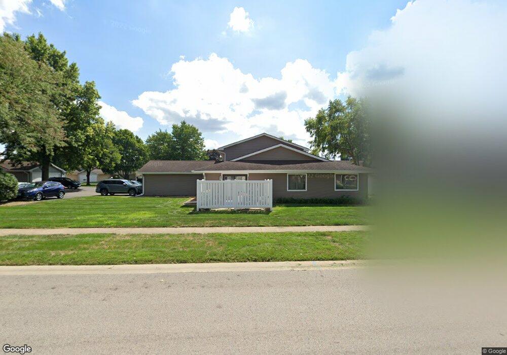
27 Brookside Place Unit 27 Springfield, IL 62704
Estimated Value: $114,000 - $133,000
Studio
3
Baths
--
Sq Ft
--
Built
About This Home
This home is located at 27 Brookside Place Unit 27, Springfield, IL 62704 and is currently estimated at $126,707. 27 Brookside Place Unit 27 is a home located in Sangamon County with nearby schools including Lindsay School, Jefferson Middle School, and Springfield Southeast High School.
Ownership History
Date
Name
Owned For
Owner Type
Purchase Details
Closed on
May 3, 2024
Sold by
Grounds Jane M
Bought by
Lewis Valerie
Current Estimated Value
Home Financials for this Owner
Home Financials are based on the most recent Mortgage that was taken out on this home.
Original Mortgage
$96,000
Outstanding Balance
$94,204
Interest Rate
6.87%
Mortgage Type
New Conventional
Estimated Equity
$32,503
Purchase Details
Closed on
Mar 24, 1997
Create a Home Valuation Report for This Property
The Home Valuation Report is an in-depth analysis detailing your home's value as well as a comparison with similar homes in the area
Purchase History
| Date | Buyer | Sale Price | Title Company |
|---|---|---|---|
| Lewis Valerie | $109,500 | None Listed On Document | |
| -- | $66,300 | -- |
Source: Public Records
Mortgage History
| Date | Status | Borrower | Loan Amount |
|---|---|---|---|
| Open | Lewis Valerie | $96,000 |
Source: Public Records
Tax History
| Year | Tax Paid | Tax Assessment Tax Assessment Total Assessment is a certain percentage of the fair market value that is determined by local assessors to be the total taxable value of land and additions on the property. | Land | Improvement |
|---|---|---|---|---|
| 2024 | $2,417 | $38,085 | $2,839 | $35,246 |
| 2023 | $2,071 | $29,421 | $2,593 | $26,828 |
| 2022 | $1,891 | $27,101 | $2,459 | $24,642 |
| 2021 | $1,808 | $26,086 | $2,367 | $23,719 |
| 2020 | $1,773 | $26,126 | $2,371 | $23,755 |
| 2019 | $1,738 | $26,035 | $2,363 | $23,672 |
| 2018 | $1,969 | $29,309 | $2,659 | $26,650 |
| 2017 | $1,922 | $28,930 | $2,625 | $26,305 |
| 2016 | $1,877 | $28,508 | $2,587 | $25,921 |
| 2015 | $1,853 | $28,167 | $2,556 | $25,611 |
| 2014 | $1,822 | $27,985 | $2,539 | $25,446 |
| 2013 | $1,781 | $27,985 | $2,539 | $25,446 |
Source: Public Records
Map
Nearby Homes
- 90 Brookside Place Unit 57
- 29 Andover Dr
- 29 Belhaven Dr
- 53 Friars Ln
- 3418 S Park Ave Unit 1
- 141 Archer Ave
- 3416 S Lincoln Ave Unit 1
- 1705 Reed Ave Unit 1
- 2337 Grinnell Dr
- 1 Prairie Lane Ct Unit 1
- 1737 W Homewood Ave Unit 1
- 3132 Elmhurst Dr
- 10 Reed Ct
- 3025 S Lincoln Ave Unit 1
- 3304 Ellendale Dr
- 3300 Haviland Dr
- 2424 Lindbergh Blvd
- 3508 Wexford Dr
- 3326 Jennings Dr
- 2306 Chatham Rd
- 27 Brookside Place
- 29 Brookside Place
- 51 Brookside Place
- 35 Brookside Place
- 39 Brookside Place Unit 82
- 19 Brookside Place
- 21 Brookside Place
- 17 Brookside Place
- 23 Brookside Place
- 41 Brookside Place Unit 81
- 15 Brookside Place
- 7 Brookside Place
- 13 Brookside Place
- 5 Brookside Place
- 3 Brookside Place
- 1 Brookside Place
- 1 Brookside Place Unit 1
- 11 Brookside Place Unit 38
- 25 Brookside Place Unit 11
- 25 Brookside Place Unit 4
Your Personal Tour Guide
Ask me questions while you tour the home.