27 Bucklin Rd North Andover, MA 01845
Estimated Value: $769,000 - $797,000
3
Beds
3
Baths
1,886
Sq Ft
$413/Sq Ft
Est. Value
About This Home
This home is located at 27 Bucklin Rd, North Andover, MA 01845 and is currently estimated at $779,016, approximately $413 per square foot. 27 Bucklin Rd is a home located in Essex County with nearby schools including Franklin Elementary School, North Andover Middle School, and North Andover High School.
Ownership History
Date
Name
Owned For
Owner Type
Purchase Details
Closed on
Sep 11, 2024
Sold by
Klose Guy F and Wood Marcellena M
Bought by
Kitty Dog Ret and Klose
Current Estimated Value
Purchase Details
Closed on
Sep 30, 1996
Sold by
Mantini Margo M
Bought by
Klose Guy F
Home Financials for this Owner
Home Financials are based on the most recent Mortgage that was taken out on this home.
Original Mortgage
$177,750
Interest Rate
7.83%
Mortgage Type
Purchase Money Mortgage
Create a Home Valuation Report for This Property
The Home Valuation Report is an in-depth analysis detailing your home's value as well as a comparison with similar homes in the area
Home Values in the Area
Average Home Value in this Area
Purchase History
| Date | Buyer | Sale Price | Title Company |
|---|---|---|---|
| Kitty Dog Ret | -- | None Available | |
| Kitty Dog Ret | -- | None Available | |
| Klose Guy F | $197,500 | -- | |
| Klose Guy F | $197,500 | -- |
Source: Public Records
Mortgage History
| Date | Status | Borrower | Loan Amount |
|---|---|---|---|
| Previous Owner | Klose Guy F | $100,000 | |
| Previous Owner | Klose Guy F | $84,000 | |
| Previous Owner | Klose Guy F | $26,000 | |
| Previous Owner | Klose Guy F | $177,750 |
Source: Public Records
Tax History Compared to Growth
Tax History
| Year | Tax Paid | Tax Assessment Tax Assessment Total Assessment is a certain percentage of the fair market value that is determined by local assessors to be the total taxable value of land and additions on the property. | Land | Improvement |
|---|---|---|---|---|
| 2025 | $7,138 | $633,900 | $292,700 | $341,200 |
| 2024 | $6,782 | $611,500 | $275,500 | $336,000 |
| 2023 | $6,723 | $549,300 | $253,100 | $296,200 |
| 2022 | $6,496 | $480,100 | $227,300 | $252,800 |
| 2021 | $6,239 | $440,300 | $206,600 | $233,700 |
| 2020 | $6,050 | $440,300 | $206,600 | $233,700 |
| 2019 | $5,904 | $440,300 | $206,600 | $233,700 |
| 2018 | $6,398 | $440,300 | $206,600 | $233,700 |
| 2017 | $5,498 | $385,000 | $163,900 | $221,100 |
| 2016 | $5,181 | $363,100 | $160,800 | $202,300 |
| 2015 | $5,211 | $362,100 | $155,300 | $206,800 |
Source: Public Records
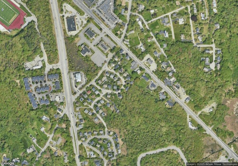
Map
Nearby Homes
- 124 Hillside Rd
- 76 Hillside Rd
- 204 Chestnut St
- 32 Lucerne Dr
- 80 Sandra Ln
- 495 Johnson St
- 124 Quail Run Rd
- 136 Quail Run Rd
- 174 Chestnut St Unit 14
- 105 Elm St Unit A
- 12 Farnum St
- 170 Haverhill St Unit 138
- 61 Elm St Unit 61
- 45 Thistle Rd
- 75 Thistle Rd
- 1 Longwood Dr Unit 105
- 7 Kingston St
- 156 High St
- 10 Maple Ave Unit 3
- 378 Salem St