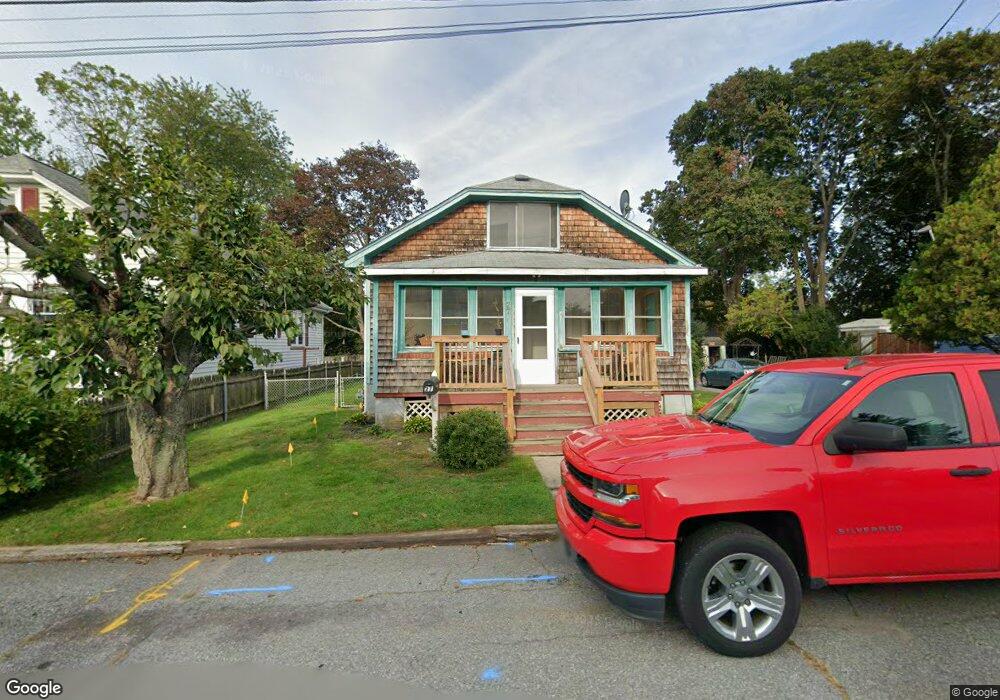
27 Buckthorne Ave Riverside, RI 02915
Kent Heights NeighborhoodEstimated Value: $451,000 - $553,000
3
Beds
2
Baths
1,560
Sq Ft
$316/Sq Ft
Est. Value
About This Home
This home is located at 27 Buckthorne Ave, Riverside, RI 02915 and is currently estimated at $492,307, approximately $315 per square foot. 27 Buckthorne Ave is a home located in Providence County with nearby schools including East Providence High School, The Gordon School, and St Mary Academy-Bay View.
Ownership History
Date
Name
Owned For
Owner Type
Purchase Details
Closed on
Mar 26, 1991
Sold by
Iacobbo Claudia A
Bought by
Ferreira Antonio R
Current Estimated Value
Home Financials for this Owner
Home Financials are based on the most recent Mortgage that was taken out on this home.
Original Mortgage
$95,000
Interest Rate
9.27%
Mortgage Type
Purchase Money Mortgage
Create a Home Valuation Report for This Property
The Home Valuation Report is an in-depth analysis detailing your home's value as well as a comparison with similar homes in the area
Home Values in the Area
Average Home Value in this Area
Purchase History
| Date | Buyer | Sale Price | Title Company |
|---|---|---|---|
| Ferreira Antonio R | $120,000 | -- | |
| Ferreira Antonio R | $120,000 | -- |
Source: Public Records
Mortgage History
| Date | Status | Borrower | Loan Amount |
|---|---|---|---|
| Open | Ferreira Antonio R | $80,000 | |
| Closed | Ferreira Antonio R | $95,000 |
Source: Public Records
Tax History
| Year | Tax Paid | Tax Assessment Tax Assessment Total Assessment is a certain percentage of the fair market value that is determined by local assessors to be the total taxable value of land and additions on the property. | Land | Improvement |
|---|---|---|---|---|
| 2025 | $6,113 | $467,700 | $138,900 | $328,800 |
| 2024 | $4,962 | $323,700 | $115,900 | $207,800 |
| 2023 | $4,778 | $323,700 | $115,900 | $207,800 |
| 2022 | $4,276 | $195,600 | $58,100 | $137,500 |
| 2021 | $4,205 | $195,600 | $58,100 | $137,500 |
| 2020 | $4,027 | $195,600 | $58,100 | $137,500 |
| 2019 | $3,916 | $195,600 | $58,100 | $137,500 |
| 2018 | $3,864 | $168,900 | $59,400 | $109,500 |
| 2017 | $3,778 | $168,900 | $59,400 | $109,500 |
| 2016 | $3,760 | $168,900 | $59,400 | $109,500 |
| 2015 | $3,608 | $157,200 | $52,400 | $104,800 |
| 2014 | $3,608 | $157,200 | $52,400 | $104,800 |
Source: Public Records
Map
Nearby Homes
- 53 Wampanoag Trail
- 34 Commack Rd
- 2941 Pawtucket Ave
- 42 Mountain Ave
- 29 Ide Ave
- 77 Gardiner Ave
- 177 Dover Ave
- 151 Dover Ave
- 74 Brookhaven Dr
- 26 Callender Ave
- 158 S Rose St
- 191 S Spruce St
- 21 Donnelly St
- 378 Juniper St
- 6 Fuller Ave
- 58 Swan St
- 25 Ingraham St
- 44 Charles St
- 25 Bullocks Point Ave Unit 5C
- 41 Follett St
- 15 Buckthorne Ave
- 29 Buckthorne Ave
- 28 Sumach Ave
- 11 Buckthorne Ave
- 18 Sumach Ave
- 12 Buckthorne Ave
- 12 Buckthorne Ave Unit 1
- 32 Buckthorne Ave
- 10 Sumach Ave
- 45 Buckthorne Ave
- 36 Sumach Ave
- 34 Sumach Ave
- 91 Wampanoag Trail
- 42 Buckthorne Ave
- 38 Sumach Ave
- 2 Sumach Ave
- 51 Buckthorne Ave
- 51 Buckthorne Ave Unit Apartment 2
- 0 Sumach Ave
- 42 Sumach Ave
Your Personal Tour Guide
Ask me questions while you tour the home.