27 Bunker Dr Unit 2 Reeds Spring, MO 65737
Estimated Value: $402,000 - $543,000
2
Beds
2
Baths
--
Sq Ft
15,682
Sq Ft Lot
About This Home
This home is located at 27 Bunker Dr Unit 2, Reeds Spring, MO 65737 and is currently estimated at $469,597. 27 Bunker Dr Unit 2 is a home located in Stone County with nearby schools including Reeds Spring Primary School, Reeds Spring Elementary School, and Reeds Spring Middle School.
Ownership History
Date
Name
Owned For
Owner Type
Purchase Details
Closed on
Jan 4, 2021
Sold by
Rollings Tyler and Rollings Bailee
Bought by
Wright Cody and Wright Melody
Current Estimated Value
Home Financials for this Owner
Home Financials are based on the most recent Mortgage that was taken out on this home.
Original Mortgage
$236,800
Outstanding Balance
$208,381
Interest Rate
2.7%
Mortgage Type
New Conventional
Estimated Equity
$261,216
Purchase Details
Closed on
Dec 5, 2019
Sold by
Martinson Thomas and Martinson Brenda
Bought by
Wright James Ruthledge and Wright Tracey Rae
Purchase Details
Closed on
Feb 16, 2006
Sold by
Forest Lake Developments Co
Bought by
Thomas And Brenda Martinson Trust
Create a Home Valuation Report for This Property
The Home Valuation Report is an in-depth analysis detailing your home's value as well as a comparison with similar homes in the area
Home Values in the Area
Average Home Value in this Area
Purchase History
| Date | Buyer | Sale Price | Title Company |
|---|---|---|---|
| Wright Cody | -- | None Available | |
| Wright James Ruthledge | -- | None Available | |
| Thomas And Brenda Martinson Trust | -- | -- |
Source: Public Records
Mortgage History
| Date | Status | Borrower | Loan Amount |
|---|---|---|---|
| Open | Wright Cody | $236,800 |
Source: Public Records
Tax History
| Year | Tax Paid | Tax Assessment Tax Assessment Total Assessment is a certain percentage of the fair market value that is determined by local assessors to be the total taxable value of land and additions on the property. | Land | Improvement |
|---|---|---|---|---|
| 2025 | $2,620 | $53,490 | -- | -- |
| 2024 | $2,620 | $53,490 | -- | -- |
| 2023 | $2,616 | $53,490 | -- | -- |
| 2022 | $2,602 | $53,490 | $0 | $0 |
| 2021 | $2,634 | $53,490 | $0 | $0 |
| 2020 | $193 | $4,450 | $0 | $0 |
| 2019 | $192 | $4,450 | $0 | $0 |
| 2018 | $192 | $4,450 | $0 | $0 |
| 2017 | $192 | $4,450 | $0 | $0 |
| 2016 | $187 | $4,450 | $0 | $0 |
| 2015 | $187 | $4,450 | $0 | $0 |
| 2014 | $184 | $4,450 | $0 | $0 |
| 2012 | $184 | $4,450 | $0 | $0 |
Source: Public Records
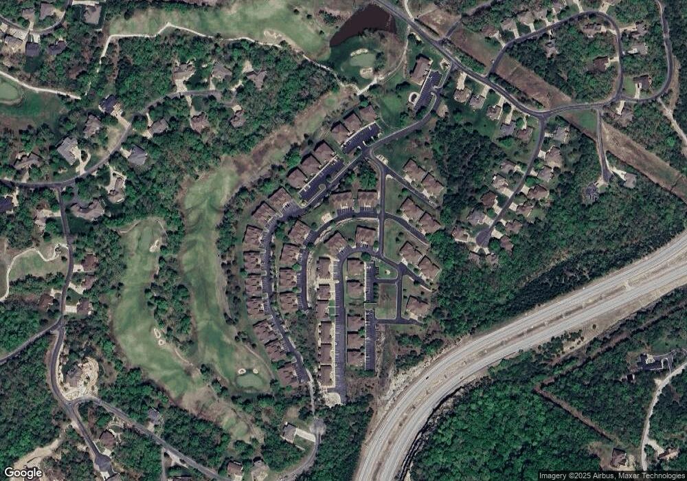
Map
Nearby Homes
- 71 Bunker Dr Unit A & C
- 71 Bunker Dr Unit A
- 71 Bunker Dr Unit C
- 5 Bermuda Dr Unit 3
- 5 Bermuda Dr Unit 5
- 31 Birdie Ln
- 71 Birdie Ln Unit 3
- 15 Birdie Ln Unit 3
- 53 Bunker Dr Unit 1
- 9 Bermuda Dr Unit 3
- 9 Bermuda Dr Unit 2
- 85 Birdie Ln Unit 1
- 7 Par Ln Unit 5
- 9 & 11 Bogey Ln
- 1081 Golf Dr Unit 6
- 1071 Golf Dr Unit 5
- 1069 Golf Dr Unit 6
- 115 Bunker Dr Unit 2
- 1041 Golf Dr Unit 5
- 1271 Golf Dr Unit 2
- 27 Bunker Dr
- 27 Bunker Dr Unit 4
- 27 Bunker Drive - 4
- 71 Bunker Dr Unit 2a
- 71 Bunker Dr Unit 1a
- 71 Bunker Dr Unit B
- 71 Bunker Dr Unit D
- 71 Bunker Dr
- 71 Bunker Dr Unit B & D
- 71 Bunker Dr Unit A,B,C,D
- 9 Bunker Dr Unit 2
- 9 Bunker Dr Unit 4
- 9 Bunker Dr
- 9 Bunker Dr Unit 1
- 9 Bunker Dr Unit 3
- 0 Bunker Dr
- 000 Bunker Dr
- 5 Bermuda Dr Unit 32-5
- 5 Bermuda Dr Unit 32
- 9 Bunker Drive 2
Your Personal Tour Guide
Ask me questions while you tour the home.