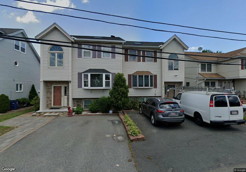
27 Burnett Rd Revere, MA 02151
West Revere NeighborhoodEstimated Value: $592,000 - $754,000
3
Beds
3
Baths
1,584
Sq Ft
$419/Sq Ft
Est. Value
About This Home
This home is located at 27 Burnett Rd, Revere, MA 02151 and is currently estimated at $663,913, approximately $419 per square foot. 27 Burnett Rd is a home located in Suffolk County with nearby schools including A.C. Whelan Elementary School, Staff Sargent James J. Hill Elementary School, and Susan B. Anthony Middle School.
Ownership History
Date
Name
Owned For
Owner Type
Purchase Details
Closed on
Apr 12, 2018
Sold by
Venditto Karen
Bought by
Nyland Tyffany and Venditto Karen
Current Estimated Value
Purchase Details
Closed on
Jul 28, 1995
Sold by
Wilshire Credit Corp
Bought by
Venditto Karen
Home Financials for this Owner
Home Financials are based on the most recent Mortgage that was taken out on this home.
Original Mortgage
$96,500
Interest Rate
7.56%
Mortgage Type
Purchase Money Mortgage
Purchase Details
Closed on
Jun 21, 1995
Sold by
Escott Judith A
Bought by
Wilshire Credit Corp
Home Financials for this Owner
Home Financials are based on the most recent Mortgage that was taken out on this home.
Original Mortgage
$96,500
Interest Rate
7.56%
Mortgage Type
Purchase Money Mortgage
Purchase Details
Closed on
Mar 24, 1992
Sold by
Est Escott Judith A
Bought by
Malden Trust Co
Create a Home Valuation Report for This Property
The Home Valuation Report is an in-depth analysis detailing your home's value as well as a comparison with similar homes in the area
Home Values in the Area
Average Home Value in this Area
Purchase History
| Date | Buyer | Sale Price | Title Company |
|---|---|---|---|
| Nyland Tyffany | -- | -- | |
| Venditto Karen | $121,500 | -- | |
| Wilshire Credit Corp | $95,500 | -- | |
| Malden Trust Co | $28,500 | -- |
Source: Public Records
Mortgage History
| Date | Status | Borrower | Loan Amount |
|---|---|---|---|
| Previous Owner | Malden Trust Co | $96,500 |
Source: Public Records
Tax History Compared to Growth
Tax History
| Year | Tax Paid | Tax Assessment Tax Assessment Total Assessment is a certain percentage of the fair market value that is determined by local assessors to be the total taxable value of land and additions on the property. | Land | Improvement |
|---|---|---|---|---|
| 2025 | $4,662 | $514,000 | $0 | $514,000 |
| 2024 | $4,344 | $476,800 | $0 | $476,800 |
| 2023 | $4,367 | $459,200 | $0 | $459,200 |
| 2022 | $4,972 | $478,100 | $0 | $478,100 |
| 2021 | $5,214 | $471,400 | $0 | $471,400 |
| 2020 | $3,727 | $331,000 | $0 | $331,000 |
| 2019 | $3,719 | $307,100 | $0 | $307,100 |
| 2018 | $4,024 | $310,500 | $0 | $310,500 |
| 2017 | $4,098 | $292,900 | $0 | $292,900 |
| 2016 | $3,756 | $259,900 | $0 | $259,900 |
| 2015 | $3,847 | $259,900 | $0 | $259,900 |
Source: Public Records
Map
Nearby Homes
- 29 Burnett Rd
- 29 Burnett Rd Unit Townhouse
- 23 Burnett Rd
- 21 Burnett Rd
- 37 Burnett Rd
- 35 Burnett Rd
- 30 Glover Dr
- 15 Burnett Rd
- 24 Glover Dr
- 41 Burnett Rd
- 24 Burnett Rd
- 22 Burnett Rd
- 34 Burnett Rd
- 34 Burnett Rd Unit 1,1
- 36 Burnett Rd
- 36 Burnett Rd Unit 36
- 18 Glover Dr
- 20 Burnett Rd
- 18 Burnett Rd
- 18 Burnett Rd Unit 1