27 Burnside St Plymouth, MA 02360
Estimated Value: $539,000 - $569,000
3
Beds
1
Bath
1,196
Sq Ft
$466/Sq Ft
Est. Value
About This Home
This home is located at 27 Burnside St, Plymouth, MA 02360 and is currently estimated at $556,911, approximately $465 per square foot. 27 Burnside St is a home located in Plymouth County with nearby schools including Indian Brook, Plymouth South Middle School, and Plymouth South High School.
Ownership History
Date
Name
Owned For
Owner Type
Purchase Details
Closed on
Jan 28, 2000
Sold by
Bastarache Donald J and Bastarache Bernice
Bought by
Garvey John L and Garvey Maureen A
Current Estimated Value
Home Financials for this Owner
Home Financials are based on the most recent Mortgage that was taken out on this home.
Original Mortgage
$114,000
Interest Rate
7.83%
Mortgage Type
Purchase Money Mortgage
Purchase Details
Closed on
May 12, 1987
Sold by
Liberopoulos Helen
Bought by
Bastarache Donald J
Home Financials for this Owner
Home Financials are based on the most recent Mortgage that was taken out on this home.
Original Mortgage
$107,000
Interest Rate
9%
Mortgage Type
Purchase Money Mortgage
Create a Home Valuation Report for This Property
The Home Valuation Report is an in-depth analysis detailing your home's value as well as a comparison with similar homes in the area
Home Values in the Area
Average Home Value in this Area
Purchase History
| Date | Buyer | Sale Price | Title Company |
|---|---|---|---|
| Garvey John L | $143,000 | -- | |
| Bastarache Donald J | $133,000 | -- |
Source: Public Records
Mortgage History
| Date | Status | Borrower | Loan Amount |
|---|---|---|---|
| Open | Bastarache Donald J | $158,400 | |
| Closed | Bastarache Donald J | $114,000 | |
| Previous Owner | Bastarache Donald J | $107,000 |
Source: Public Records
Tax History Compared to Growth
Tax History
| Year | Tax Paid | Tax Assessment Tax Assessment Total Assessment is a certain percentage of the fair market value that is determined by local assessors to be the total taxable value of land and additions on the property. | Land | Improvement |
|---|---|---|---|---|
| 2025 | $5,827 | $459,200 | $235,000 | $224,200 |
| 2024 | $5,458 | $424,100 | $211,500 | $212,600 |
| 2023 | $5,288 | $385,700 | $193,900 | $191,800 |
| 2022 | $5,160 | $334,400 | $174,600 | $159,800 |
| 2021 | $5,055 | $312,800 | $174,600 | $138,200 |
| 2020 | $5,073 | $310,300 | $174,600 | $135,700 |
| 2019 | $4,917 | $297,300 | $163,300 | $134,000 |
| 2018 | $4,584 | $278,500 | $146,400 | $132,100 |
| 2017 | $4,448 | $268,300 | $146,400 | $121,900 |
| 2016 | $4,185 | $257,200 | $135,200 | $122,000 |
| 2015 | $3,911 | $251,700 | $129,500 | $122,200 |
| 2014 | $3,828 | $253,000 | $135,200 | $117,800 |
Source: Public Records
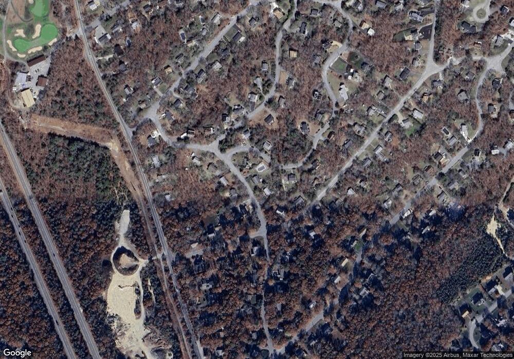
Map
Nearby Homes
- 2462 State Rd
- 26 Spencer Dr
- 37 Spencer Dr
- 29 Sheppard Rd
- 11 Village Green Dr Unit B
- 12 Kara's Way
- 48 Menotomy Rd
- 15 Nonantum Rd
- 1150 Long Pond Rd
- 92 Cliffside Dr
- 92 Cliffside Dr Unit White Cliff
- 112 Cliffside Dr Unit 112
- 53 White Cliff Dr
- 1 Kara's Way
- 230 White Cliff Dr Unit Golfview
- 4 Clapp Ln
- 5 Laurie Ann's Ln
- 80 Norris Rd
- 42 Fairway Dr Unit Golfview
- 4 Westcliff Dr Unit Golfview
- 23 Burnside St
- 29 Burnside St
- 11 Winchester Ln
- 10 Winchester Ln
- 26 Burnside St
- 28 Burnside St
- 16 Sanderson Dr
- 24 Burnside St
- 20 Sanderson Dr
- 9 Remington Ln
- 24 Sanderson Dr
- 30 Burnside St
- 15 Winchester Ln
- 15 Remington Ln
- 18 Winchester Ln
- 15 Sanderson Dr
- 34 Burnside St
- 6 Sanderson Dr
- 8 Remington Ln
- 4 Remington Ln