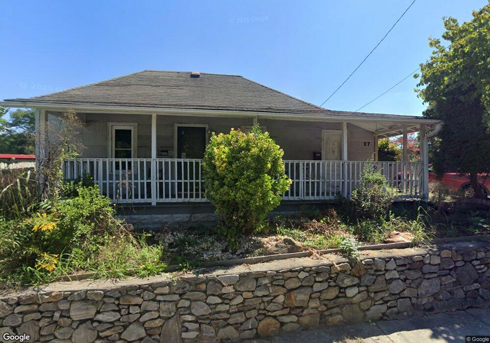
27 Burton St Asheville, NC 28806
West Asheville NeighborhoodEstimated Value: $168,000 - $351,000
3
Beds
1
Bath
880
Sq Ft
$307/Sq Ft
Est. Value
About This Home
This home is located at 27 Burton St, Asheville, NC 28806 and is currently estimated at $270,447, approximately $307 per square foot. 27 Burton St is a home with nearby schools including Hall Fletcher Elementary, Isaac Dickson Elementary, and Ira B Jones Elementary.
Ownership History
Date
Name
Owned For
Owner Type
Purchase Details
Closed on
Aug 8, 2017
Sold by
Future Forward Llc
Bought by
Travis Carl S
Current Estimated Value
Purchase Details
Closed on
Sep 15, 2004
Sold by
Aliferis Spiro and Aliferis Sue G
Bought by
Safe & Secure Storage Llc
Home Financials for this Owner
Home Financials are based on the most recent Mortgage that was taken out on this home.
Original Mortgage
$450,000
Interest Rate
5.92%
Mortgage Type
Construction
Purchase Details
Closed on
Jul 22, 2001
Sold by
Cathey Edward Lee and Cathey Janice S
Bought by
Aliferis Spiro H
Home Financials for this Owner
Home Financials are based on the most recent Mortgage that was taken out on this home.
Original Mortgage
$20,000
Interest Rate
7.08%
Mortgage Type
Seller Take Back
Create a Home Valuation Report for This Property
The Home Valuation Report is an in-depth analysis detailing your home's value as well as a comparison with similar homes in the area
Home Values in the Area
Average Home Value in this Area
Purchase History
| Date | Buyer | Sale Price | Title Company |
|---|---|---|---|
| Travis Carl S | -- | None Available | |
| Safe & Secure Storage Llc | $675,000 | -- | |
| Aliferis Spiro H | $25,000 | -- |
Source: Public Records
Mortgage History
| Date | Status | Borrower | Loan Amount |
|---|---|---|---|
| Previous Owner | Safe & Secure Storage Llc | $450,000 | |
| Previous Owner | Aliferis Spiro H | $20,000 | |
| Closed | Safe & Secure Storage Llc | $255,000 |
Source: Public Records
Tax History Compared to Growth
Tax History
| Year | Tax Paid | Tax Assessment Tax Assessment Total Assessment is a certain percentage of the fair market value that is determined by local assessors to be the total taxable value of land and additions on the property. | Land | Improvement |
|---|---|---|---|---|
| 2025 | $1,165 | $112,800 | $81,900 | $30,900 |
| 2024 | $1,165 | $112,800 | $81,900 | $30,900 |
| 2023 | $1,165 | $112,800 | $81,900 | $30,900 |
| 2022 | $1,125 | $112,800 | $0 | $0 |
| 2021 | $1,125 | $112,800 | $0 | $0 |
| 2020 | $747 | $69,300 | $0 | $0 |
| 2019 | $747 | $69,300 | $0 | $0 |
| 2018 | $747 | $69,300 | $0 | $0 |
| 2017 | $754 | $84,400 | $0 | $0 |
| 2016 | $1,037 | $84,400 | $0 | $0 |
| 2015 | $13 | $84,400 | $0 | $0 |
| 2014 | -- | $84,400 | $0 | $0 |
Source: Public Records
Map
Nearby Homes
- 43 Argyle Ln
- 199 Pennsylvania Ave
- 127 Pennsylvania Ave
- 26 Hanover St
- 140 Pennsylvania Ave
- 113 Burton St
- 99999 State St
- 31 Westwood Place
- 109 Richmond Ave
- 153 State St
- 141 State St
- 259 Waynesville Ave Unit 1
- 37 Bryant St
- 266 Waynesville Ave
- 60 Dorchester Ave
- 34 Vandalia Ave
- 20 Vandalia Ave
- 68 1/2 Nevada Ave
- 68 Vandalia Ave
- 135 Westwood Place