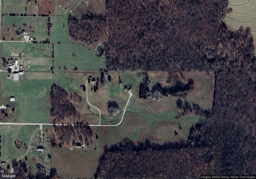
27 Butterfield Trail Elkland, MO 65644
Estimated Value: $330,000 - $356,000
--
Bed
--
Bath
1,920
Sq Ft
$177/Sq Ft
Est. Value
About This Home
This home is located at 27 Butterfield Trail, Elkland, MO 65644 and is currently estimated at $339,626, approximately $176 per square foot. 27 Butterfield Trail is a home with nearby schools including Buffalo High School.
Ownership History
Date
Name
Owned For
Owner Type
Purchase Details
Closed on
Apr 13, 2022
Sold by
Bsgg Real Estate Llc
Bought by
Messenger Daniel V and Messenger Kimberly Sue
Current Estimated Value
Purchase Details
Closed on
Jan 19, 2022
Sold by
Randall E Uchtman Declaration Of Trust
Bought by
Bsgg Real Estate Llc
Purchase Details
Closed on
Dec 14, 2020
Sold by
Bowers Travis and Bowers Laura
Bought by
Mankey Caleb D and Mankey Cindy A
Home Financials for this Owner
Home Financials are based on the most recent Mortgage that was taken out on this home.
Original Mortgage
$310,960
Interest Rate
2.8%
Mortgage Type
New Conventional
Create a Home Valuation Report for This Property
The Home Valuation Report is an in-depth analysis detailing your home's value as well as a comparison with similar homes in the area
Home Values in the Area
Average Home Value in this Area
Purchase History
| Date | Buyer | Sale Price | Title Company |
|---|---|---|---|
| Messenger Daniel V | -- | None Listed On Document | |
| Bsgg Real Estate Llc | -- | None Listed On Document | |
| Mankey Caleb D | -- | None Available |
Source: Public Records
Mortgage History
| Date | Status | Borrower | Loan Amount |
|---|---|---|---|
| Previous Owner | Mankey Caleb D | $310,960 |
Source: Public Records
Tax History Compared to Growth
Tax History
| Year | Tax Paid | Tax Assessment Tax Assessment Total Assessment is a certain percentage of the fair market value that is determined by local assessors to be the total taxable value of land and additions on the property. | Land | Improvement |
|---|---|---|---|---|
| 2024 | $1,041 | $25,280 | $0 | $0 |
| 2023 | $1,029 | $23,210 | $0 | $0 |
| 2022 | $941 | $23,290 | $0 | $0 |
| 2021 | $942 | $21,030 | $0 | $0 |
| 2020 | $939 | $21,030 | $0 | $0 |
| 2019 | $941 | $21,030 | $0 | $0 |
| 2018 | $838 | $21,050 | $0 | $0 |
| 2014 | -- | $18,610 | $0 | $0 |
Source: Public Records
Map
Nearby Homes
- 28 Danbury Ln
- 0000 State Highway 38
- 458 Cumberland Rd
- 1189 Patterson Branch Rd
- 000 Spring Grove Rd
- 0000 Junior Ln
- 000 Tbd Thorpe Rd
- 188 Wind Crest Ct
- Tbd Bethel Rd
- 118 Bethel Rd
- 2314 State Highway 38
- 195 Cumberland Rd
- 524 State Road F
- 3231 Hawk Pond Rd
- Tbd Tr 2 N Farm Rd 215
- 50 State Rd W
- 48 Flint Ridge Rd
- 3132 Hawk Pond Rd
- 5 Alyssa Hills Ln
- 41 Magnolia Dr
- 23 Butterfield Trail
- 18 Butterfield Trail
- 10579 Missouri 38
- 10 Butterfield Trail
- 12 Vista Ln
- 10575 State Highway 38
- 10589 State Highway 38
- 6 Vista Ln
- 19 Crystal Trail
- 16 Rose Ln
- 30 Nester Ln
- 10559 Missouri 38
- 3 Crystal Trail
- 17 Rose Ln
- 10560 State Highway 38
- 10551 State Highway 38
- 10564 State Highway 38
- 10556 State Highway 38
- 10576 State Highway 38
- 10547 State Highway 38
