Estimated Value: $390,564 - $768,000
2
Beds
4
Baths
1,480
Sq Ft
$336/Sq Ft
Est. Value
About This Home
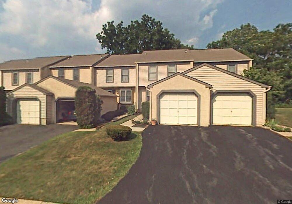
This home is located at 27 Cabot Ct, Media, PA 19063 and is currently estimated at $496,641, approximately $335 per square foot. 27 Cabot Ct is a home located in Delaware County with nearby schools including Glenwood Elementary School, Springton Lake Middle School, and Penncrest High School.
Ownership History
Date
Name
Owned For
Owner Type
Purchase Details
Closed on
Nov 16, 2012
Sold by
Paston Adrienne and Paston Brian M
Bought by
The Adrienne M Paston Living Trust
Current Estimated Value
Purchase Details
Closed on
Jun 18, 2004
Sold by
Mcdonnell Ryan
Bought by
Paston Adrienne M and Paston Brian M
Purchase Details
Closed on
May 7, 1997
Sold by
Shimko Andrew J
Bought by
Mcdonnell Ryan
Home Financials for this Owner
Home Financials are based on the most recent Mortgage that was taken out on this home.
Original Mortgage
$93,000
Interest Rate
7.88%
Purchase Details
Closed on
Jul 7, 1995
Sold by
Fera Frank A
Bought by
Shimko Andrew J
Home Financials for this Owner
Home Financials are based on the most recent Mortgage that was taken out on this home.
Original Mortgage
$124,400
Interest Rate
7.7%
Create a Home Valuation Report for This Property
The Home Valuation Report is an in-depth analysis detailing your home's value as well as a comparison with similar homes in the area
Home Values in the Area
Average Home Value in this Area
Purchase History
| Date | Buyer | Sale Price | Title Company |
|---|---|---|---|
| The Adrienne M Paston Living Trust | -- | None Available | |
| Paston Adrienne M | $205,000 | -- | |
| Mcdonnell Ryan | $129,000 | -- | |
| Shimko Andrew J | $131,000 | -- |
Source: Public Records
Mortgage History
| Date | Status | Borrower | Loan Amount |
|---|---|---|---|
| Previous Owner | Mcdonnell Ryan | $93,000 | |
| Previous Owner | Shimko Andrew J | $124,400 |
Source: Public Records
Tax History
| Year | Tax Paid | Tax Assessment Tax Assessment Total Assessment is a certain percentage of the fair market value that is determined by local assessors to be the total taxable value of land and additions on the property. | Land | Improvement |
|---|---|---|---|---|
| 2025 | $4,588 | $237,330 | $90,700 | $146,630 |
| 2024 | $4,588 | $237,330 | $90,700 | $146,630 |
| 2023 | $4,427 | $237,330 | $90,700 | $146,630 |
| 2022 | $4,313 | $237,330 | $90,700 | $146,630 |
| 2021 | $7,344 | $237,330 | $90,700 | $146,630 |
| 2020 | $4,099 | $121,520 | $29,860 | $91,660 |
| 2019 | $3,968 | $121,520 | $29,860 | $91,660 |
| 2018 | $3,912 | $121,520 | $0 | $0 |
| 2017 | $3,825 | $121,520 | $0 | $0 |
| 2016 | $667 | $121,520 | $0 | $0 |
| 2015 | $681 | $121,520 | $0 | $0 |
| 2014 | $681 | $121,520 | $0 | $0 |
Source: Public Records
Map
Nearby Homes
- 29 Cabot Ct
- 17 Man o War Dr
- 1 Country Village Way
- 115 Tonio Place
- 235 Ponds Edge Dr
- 233 Ponds Edge Dr
- 237 Harvey Ln
- 512 Williamson Cir
- 16 War Admiral Ln
- 1016 W Baltimore Pike Unit C14
- 263 Lenni Rd
- 206 Chestnut Ave
- 4 E Spring Oak Cir
- 3 E Spring Oak Cir
- 224 S Pennell Rd
- 51 Rampart E
- 6 Laurel Ln
- 94 Autumn Woods Ln
- 746 Switchman Rd
- 298 Oak Ave
Your Personal Tour Guide
Ask me questions while you tour the home.