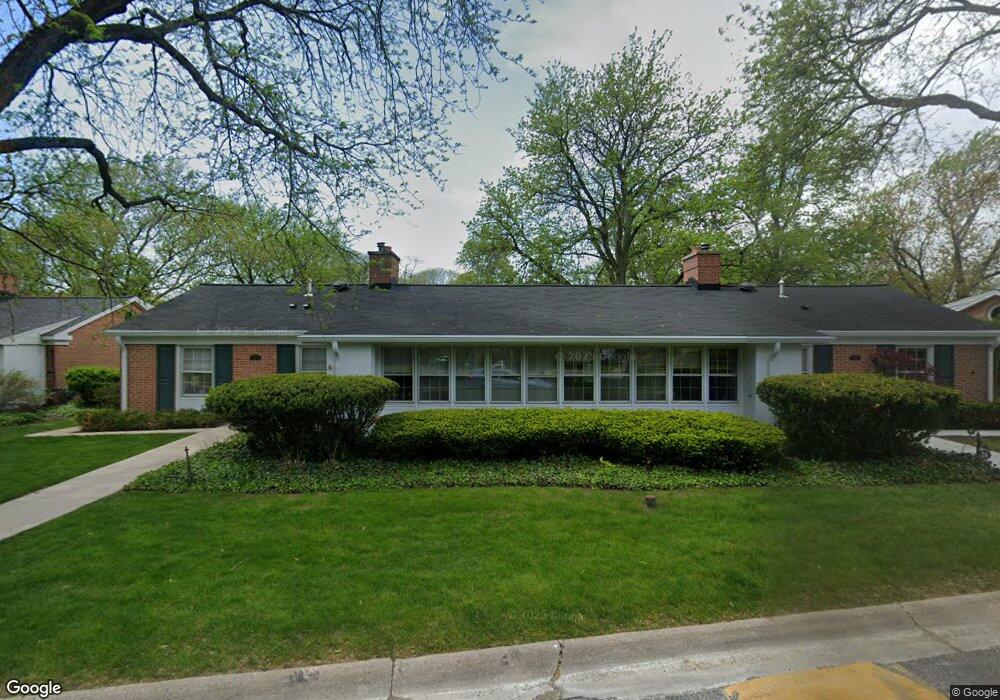
27 Calvin Cir Evanston, IL 60201
North Evanston NeighborhoodEstimated Value: $277,538 - $425,000
2
Beds
1
Bath
1,039
Sq Ft
$318/Sq Ft
Est. Value
About This Home
This home is located at 27 Calvin Cir, Evanston, IL 60201 and is currently estimated at $330,885, approximately $318 per square foot. 27 Calvin Cir is a home located in Cook County with nearby schools including Willard Elementary School, Haven Middle School, and Evanston Township High School.
Create a Home Valuation Report for This Property
The Home Valuation Report is an in-depth analysis detailing your home's value as well as a comparison with similar homes in the area
Home Values in the Area
Average Home Value in this Area
Tax History
| Year | Tax Paid | Tax Assessment Tax Assessment Total Assessment is a certain percentage of the fair market value that is determined by local assessors to be the total taxable value of land and additions on the property. | Land | Improvement |
|---|---|---|---|---|
| 2025 | $3,386 | $35,196 | $8,071 | $27,125 |
| 2024 | $3,386 | $19,955 | $3,002 | $16,953 |
| 2023 | $4,737 | $19,955 | $3,002 | $16,953 |
| 2022 | $4,737 | $26,549 | $3,002 | $23,547 |
| 2021 | $2,186 | $14,231 | $8,878 | $5,353 |
| 2020 | $3,726 | $14,231 | $8,878 | $5,353 |
| 2019 | $3,656 | $15,605 | $8,878 | $6,727 |
| 2018 | $2,692 | $16,010 | $7,263 | $8,747 |
| 2017 | $4,272 | $16,010 | $7,263 | $8,747 |
| 2016 | $4,052 | $16,010 | $7,263 | $8,747 |
| 2015 | $3,202 | $11,942 | $6,053 | $5,889 |
| 2014 | $2,002 | $11,942 | $6,053 | $5,889 |
| 2013 | $1,929 | $11,942 | $6,053 | $5,889 |
Source: Public Records
Map
Nearby Homes
- 2311 Ridgeway Ave
- 3029 Simpson St
- 9515 Hamlin Ave
- 2216 Forestview Rd
- 9532 Springfield Ave
- 9435 Central Park Ave
- 2512 Lawndale Ave
- 9360 Ridgeway Ave
- 2724 Simpson St
- 9343 Hamlin Ave
- 3233 Central St
- 3233 Central St Unit 2
- 9714 Kedvale Ave
- 9242 Ridgeway Ave
- 2026 Mcdaniel Ave
- 2555 Gross Point Rd Unit 202
- 2632 Gross Point Rd
- 9200 E Prairie Rd Unit 209A
- 9200 N East Prairie Rd Unit 203
- 1915 - 2 Grant St
Your Personal Tour Guide
Ask me questions while you tour the home.