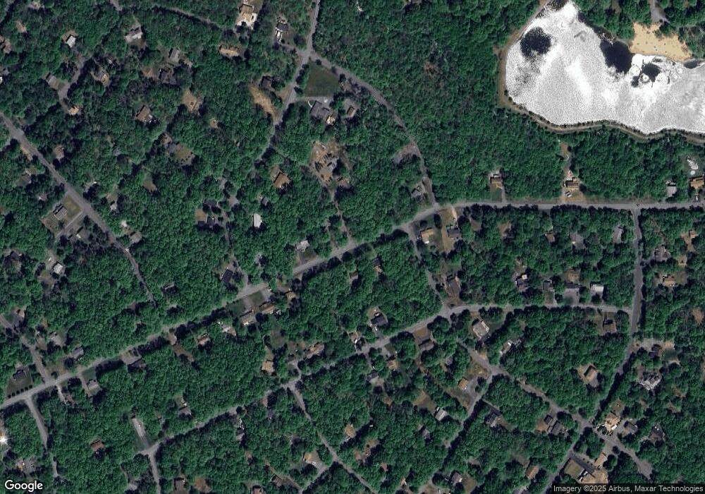
27 Cedar Ln Albrightsville, PA 18210
Estimated Value: $323,560 - $373,000
3
Beds
2
Baths
1,372
Sq Ft
$252/Sq Ft
Est. Value
About This Home
This home is located at 27 Cedar Ln, Albrightsville, PA 18210 and is currently estimated at $345,890, approximately $252 per square foot. 27 Cedar Ln is a home located in Carbon County with nearby schools including Jim Thorpe Area High School.
Ownership History
Date
Name
Owned For
Owner Type
Purchase Details
Closed on
May 14, 2024
Sold by
Thomas Charles E
Bought by
Bryan Scott Warner And Sandra Lee Warner Trus
Current Estimated Value
Purchase Details
Closed on
May 16, 2019
Sold by
Soriero Michael J and Soriero Mary Lou
Bought by
Thomas Charles E
Home Financials for this Owner
Home Financials are based on the most recent Mortgage that was taken out on this home.
Original Mortgage
$60,000
Interest Rate
4.1%
Mortgage Type
New Conventional
Purchase Details
Closed on
Nov 18, 2005
Sold by
Shober James J
Bought by
Soriero Michael J and Soriero Mary Lou
Home Financials for this Owner
Home Financials are based on the most recent Mortgage that was taken out on this home.
Original Mortgage
$119,200
Interest Rate
6.07%
Mortgage Type
New Conventional
Create a Home Valuation Report for This Property
The Home Valuation Report is an in-depth analysis detailing your home's value as well as a comparison with similar homes in the area
Home Values in the Area
Average Home Value in this Area
Purchase History
| Date | Buyer | Sale Price | Title Company |
|---|---|---|---|
| Bryan Scott Warner And Sandra Lee Warner Trus | $335,000 | None Listed On Document | |
| Thomas Charles E | $173,000 | Paramount Abstract Inc | |
| Soriero Michael J | $149,000 | None Available |
Source: Public Records
Mortgage History
| Date | Status | Borrower | Loan Amount |
|---|---|---|---|
| Previous Owner | Thomas Charles E | $60,000 | |
| Previous Owner | Soriero Michael J | $119,200 |
Source: Public Records
Tax History Compared to Growth
Tax History
| Year | Tax Paid | Tax Assessment Tax Assessment Total Assessment is a certain percentage of the fair market value that is determined by local assessors to be the total taxable value of land and additions on the property. | Land | Improvement |
|---|---|---|---|---|
| 2025 | $3,696 | $60,080 | $3,950 | $56,130 |
| 2024 | $3,516 | $60,080 | $3,950 | $56,130 |
| 2023 | $3,471 | $60,080 | $3,950 | $56,130 |
| 2022 | $3,471 | $60,080 | $3,950 | $56,130 |
| 2021 | $3,471 | $60,080 | $3,950 | $56,130 |
| 2020 | $3,170 | $54,880 | $3,950 | $50,930 |
| 2019 | $3,061 | $54,880 | $3,950 | $50,930 |
| 2018 | $3,061 | $54,880 | $3,950 | $50,930 |
| 2017 | $3,061 | $54,880 | $3,950 | $50,930 |
| 2016 | -- | $54,880 | $3,950 | $50,930 |
| 2015 | -- | $54,880 | $3,950 | $50,930 |
| 2014 | -- | $54,880 | $3,950 | $50,930 |
Source: Public Records
Map
Nearby Homes
- 607 Stony Mountain Rd
- EV1440 Gasse Glen
- 0 Burnshaw Ln Unit 751829
- 77 Lucretius Trail
- 643 Stony Mountain Rd
- 76 Parker Trail
- Lot 29 & 30 Stony Mountain Rd
- Lot 29 & 3 Stony Mountain Rd
- EV1384 Stony Mountain Rd
- lot EV1395 Stony Mountain Rd
- EV993 Stony Mountain Rd
- A264 Stony Mountain Rd
- 558 Stony Mountain Rd
- 112 MacCauley Rd
- 97 Lucretius Trail
- 114 MacCauley Rd
- EV1581 MacCauley Rd
- 192 Petrarch Trail
- 72 MacCauley Rd
- 55 MacCauley Rd
- 27 Caedman Dr
- 31 Cedar Ln
- 21 Caedman Dr
- 36 MacCauley Rd
- 22 Caedman Dr
- EV1519 Caedman 1weuz688bldq
- 39 Caedman Dr
- 40 MacCauley Rd
- Lot EV1524 Caedman Dr
- 36 Caedman Dr
- EV1713 MacCawley Rd
- 20 Caedman Dr
- 37 Caedman Dr
- 13 Caedman Dr
- 48 MacCauley Rd
- 140 Parker Trail
- 35 MacCauley Rd
- 21 MacCauley Rd
- 1377 Sasson Dr
- 1539 Caedman Dr
