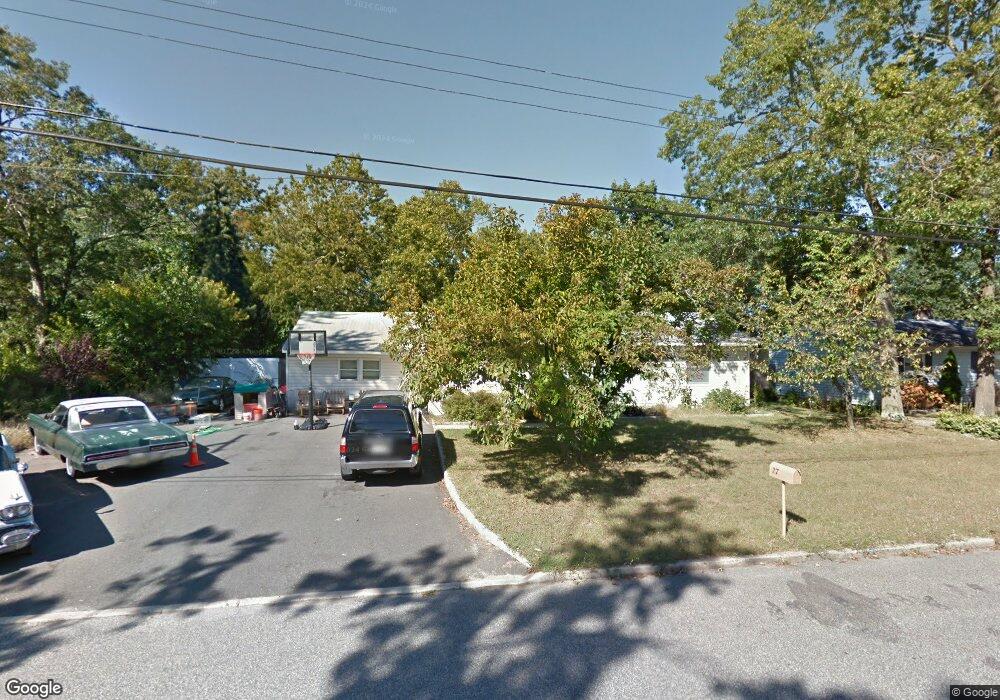
27 Clark Dr Howell, NJ 07731
Ramtown NeighborhoodEstimated Value: $482,000 - $517,000
2
Beds
1
Bath
1,400
Sq Ft
$356/Sq Ft
Est. Value
About This Home
This home is located at 27 Clark Dr, Howell, NJ 07731 and is currently estimated at $498,839, approximately $356 per square foot. 27 Clark Dr is a home located in Monmouth County with nearby schools including Ramtown School, Greenville School, and Howell Township Middle School South.
Ownership History
Date
Name
Owned For
Owner Type
Purchase Details
Closed on
Oct 5, 2004
Sold by
Roberts Jeremy
Bought by
Morgan Trisha
Current Estimated Value
Home Financials for this Owner
Home Financials are based on the most recent Mortgage that was taken out on this home.
Original Mortgage
$201,000
Outstanding Balance
$99,745
Interest Rate
5.8%
Estimated Equity
$399,094
Purchase Details
Closed on
Jul 27, 2004
Sold by
Phelan Catherine
Bought by
Roberts Jeremy and Roberts Sarah
Create a Home Valuation Report for This Property
The Home Valuation Report is an in-depth analysis detailing your home's value as well as a comparison with similar homes in the area
Home Values in the Area
Average Home Value in this Area
Purchase History
| Date | Buyer | Sale Price | Title Company |
|---|---|---|---|
| Morgan Trisha | $221,000 | -- | |
| Roberts Jeremy | $166,000 | -- |
Source: Public Records
Mortgage History
| Date | Status | Borrower | Loan Amount |
|---|---|---|---|
| Open | Morgan Trisha | $201,000 |
Source: Public Records
Tax History Compared to Growth
Tax History
| Year | Tax Paid | Tax Assessment Tax Assessment Total Assessment is a certain percentage of the fair market value that is determined by local assessors to be the total taxable value of land and additions on the property. | Land | Improvement |
|---|---|---|---|---|
| 2025 | $7,575 | $475,200 | $339,400 | $135,800 |
| 2024 | $7,118 | $427,700 | $294,400 | $133,300 |
| 2023 | $7,118 | $382,900 | $264,400 | $118,500 |
| 2022 | $5,328 | $293,900 | $189,400 | $104,500 |
| 2021 | $5,328 | $252,400 | $159,400 | $93,000 |
| 2020 | $5,815 | $251,300 | $159,400 | $91,900 |
| 2019 | $5,888 | $249,700 | $159,400 | $90,300 |
| 2018 | $5,818 | $245,500 | $159,400 | $86,100 |
| 2017 | $5,343 | $222,900 | $139,400 | $83,500 |
| 2016 | $4,875 | $200,800 | $119,400 | $81,400 |
| 2015 | $4,631 | $188,700 | $109,400 | $79,300 |
| 2014 | $5,441 | $205,800 | $136,600 | $69,200 |
Source: Public Records
Map
Nearby Homes