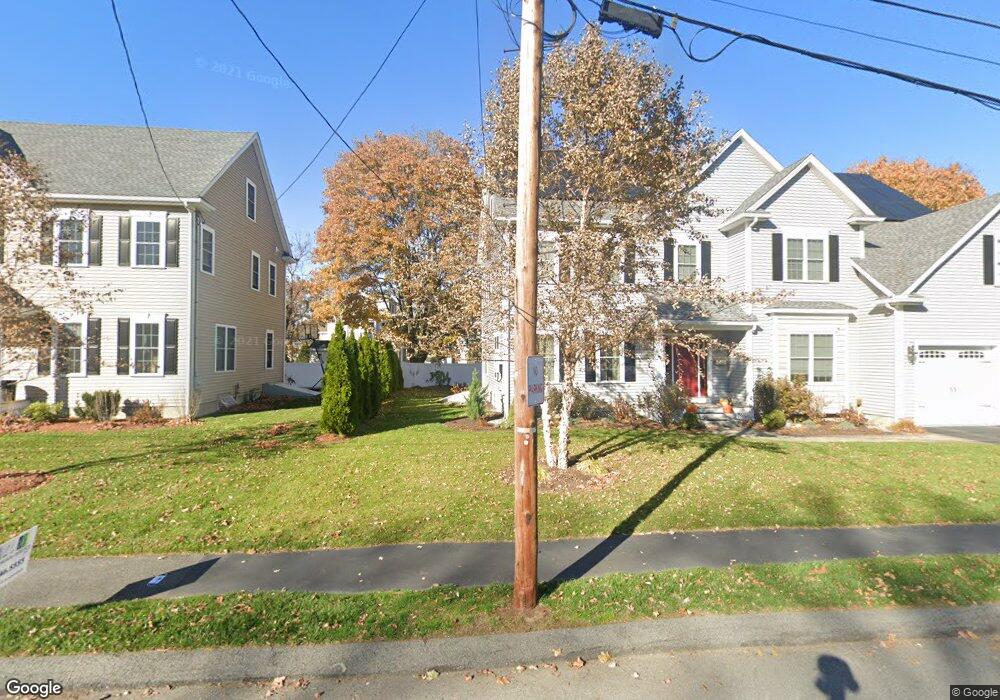
27 Clark St Unit 29 Winchester, MA 01890
North Main NeighborhoodEstimated Value: $2,126,765 - $2,432,000
6
Beds
4
Baths
4,252
Sq Ft
$538/Sq Ft
Est. Value
About This Home
This home is located at 27 Clark St Unit 29, Winchester, MA 01890 and is currently estimated at $2,287,941, approximately $538 per square foot. 27 Clark St Unit 29 is a home located in Middlesex County with nearby schools including Lynch Elementary School, McCall Middle School, and Winchester High School.
Ownership History
Date
Name
Owned For
Owner Type
Purchase Details
Closed on
Jun 15, 2016
Sold by
West View Rt
Bought by
Ke Sophia S and Chen Jian W
Current Estimated Value
Home Financials for this Owner
Home Financials are based on the most recent Mortgage that was taken out on this home.
Original Mortgage
$523,000
Outstanding Balance
$416,792
Interest Rate
3.61%
Mortgage Type
Unknown
Estimated Equity
$1,871,149
Purchase Details
Closed on
Mar 2, 2015
Sold by
Reinsch Jane T and Thompson Ruth
Bought by
West View Rt
Home Financials for this Owner
Home Financials are based on the most recent Mortgage that was taken out on this home.
Original Mortgage
$1,500,000
Interest Rate
3.66%
Mortgage Type
Purchase Money Mortgage
Create a Home Valuation Report for This Property
The Home Valuation Report is an in-depth analysis detailing your home's value as well as a comparison with similar homes in the area
Home Values in the Area
Average Home Value in this Area
Purchase History
| Date | Buyer | Sale Price | Title Company |
|---|---|---|---|
| Ke Sophia S | $1,289,000 | -- | |
| West View Rt | $1,026,000 | -- |
Source: Public Records
Mortgage History
| Date | Status | Borrower | Loan Amount |
|---|---|---|---|
| Open | Ke Sophia S | $523,000 | |
| Previous Owner | West View Rt | $1,500,000 |
Source: Public Records
Tax History Compared to Growth
Tax History
| Year | Tax Paid | Tax Assessment Tax Assessment Total Assessment is a certain percentage of the fair market value that is determined by local assessors to be the total taxable value of land and additions on the property. | Land | Improvement |
|---|---|---|---|---|
| 2025 | $189 | $1,702,500 | $603,800 | $1,098,700 |
| 2024 | $18,010 | $1,589,600 | $572,100 | $1,017,500 |
| 2023 | $17,916 | $1,518,300 | $524,400 | $993,900 |
| 2022 | $18,009 | $1,439,600 | $476,700 | $962,900 |
| 2021 | $17,553 | $1,368,100 | $405,200 | $962,900 |
| 2020 | $16,951 | $1,368,100 | $405,200 | $962,900 |
| 2019 | $15,606 | $1,288,700 | $325,800 | $962,900 |
| 2018 | $4,717 | $1,245,900 | $309,900 | $936,000 |
| 2017 | $14,457 | $1,177,300 | $294,000 | $883,300 |
| 2016 | $6,644 | $568,800 | $294,000 | $274,800 |
| 2015 | $7,096 | $584,500 | $314,500 | $270,000 |
| 2014 | $6,864 | $542,200 | $272,300 | $269,900 |
Source: Public Records
Map
Nearby Homes
- 200 Swanton St Unit 228
- 200 Swanton St Unit 636
- 200 Swanton St Unit 234
- 200 Swanton St Unit T28
- 62 Richardson St
- 237 Swanton St
- 20 Arthur St
- 29 Shepard Ct
- 666 Main St Unit 312
- 666 Main St Unit 315
- 171 Swanton St Unit 73
- 149 Horn Pond Brook Rd
- 95 Irving St
- 46-48 Swanton St
- 32 Oak St
- 14 Cross St
- 13 Nelson St
- 6 Ivy Cir
- 18 Raymond Place
- 209 Washington St
- 17 Clark St Unit 17
- 21 Clark St
- 15 Clark St Unit 17
- 15 Clark St Unit 15
- 28 Clark St
- 18 Clark St Unit 20
- 808-810 Main St
- 808 Main St
- 25 Clark St
- 14 Salem St
- 12 Salem St
- 812 Main St Unit 814
- 18 Salem St
- 30 Clark St
- 22 Salem St Unit 24
- 22 Salem St Unit 2
- 22 Salem St Unit 1
- 24 Salem St Unit 2
- 24 Salem St
- 824 Main St